 See all 6 photos
Upload your photo
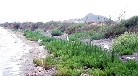
El Carmolí
No reviews yet
Do you like this place? Be the first to vote
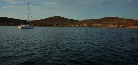
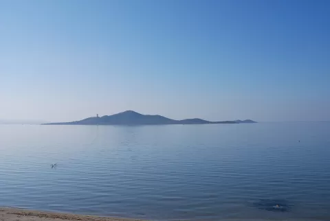
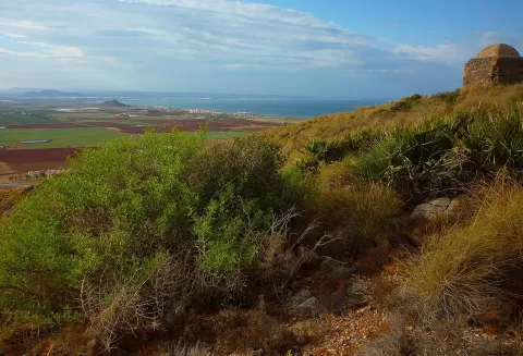
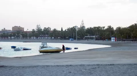
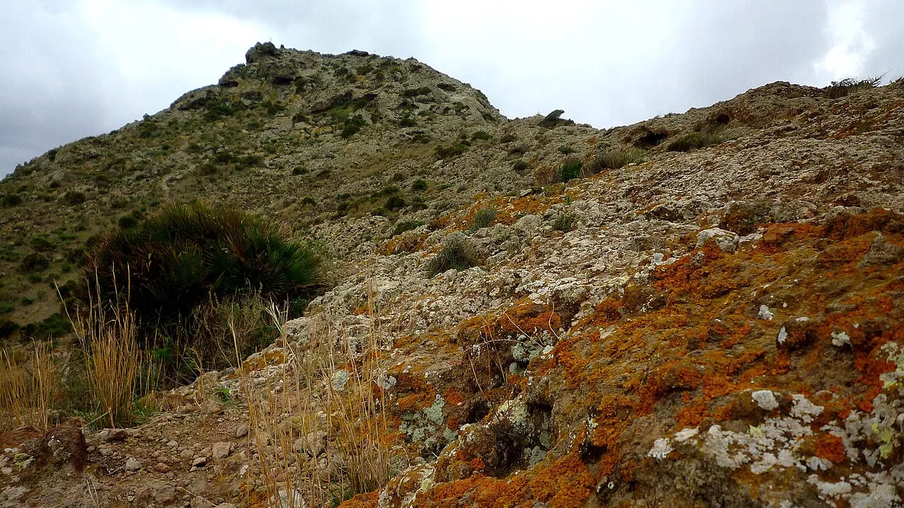
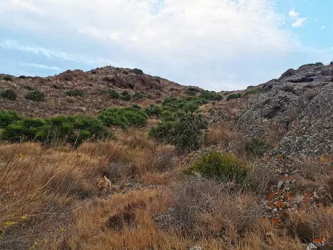
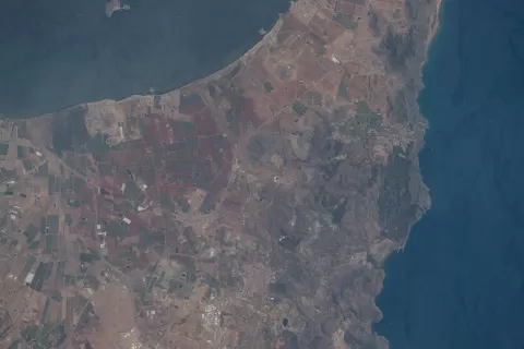
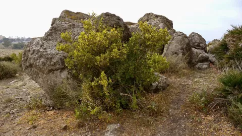
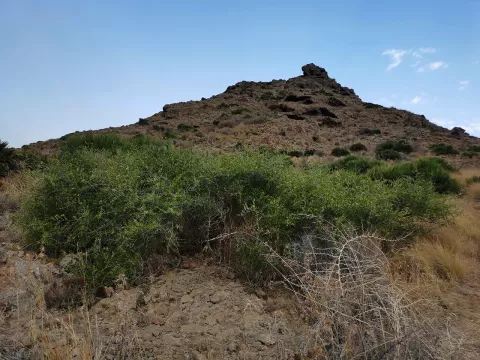
El Carmolí is an extinct volcano that formed about seven million years ago, in the Upper Miocene. Today it is a 113-metre hill, eroded and with no crater, on the shore of the Mar Menor, next to Los Urrutias and opposite the island of Perdiguera, in the municipality of Cartagena.
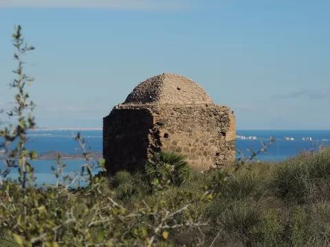
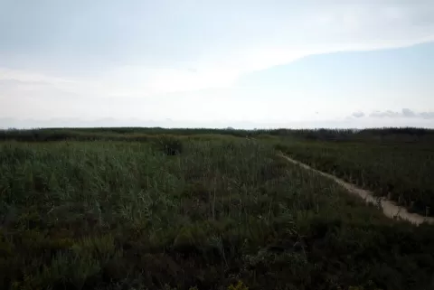
To the north lies the Marina del Carmolí, a salt marsh of about 280 hectares between Cartagena and Los Alcázares. The estate belonged to the Ministry of Defence: before the Civil War there was a military aerodrome here, and during the conflict tunnels were dug to store weapons. The summit is easy to reach.
From the top you can see the whole lagoon, with its islands, La Manga closing off the horizon and the salt marsh below. The Mar Menor lies to the east, so at dawn the sun rises behind La Manga. In the afternoon the light comes from behind you and falls full on the water and the islands.
What El Carmolí has to offer
More viewpoints in Murcia More hiking trails in Murcia
Best time to photograph El Carmolí today, 21 November
- Sunrise7:49 – 8:49golden hour
- Sunset16:48 – 17:48golden hour
- Blue hour17:48 – 18:16at dusk
At sunrise and sunset, low-angled light brings out the landscape's texture. Arrive 20 minutes early to get a good spot.
Hashtags for your photos of El Carmolí
Upload your photo with #fotoMap and help more people discover this spot. The one with the most votes becomes the cover photo.
Reviews of El Carmolí
Nobody has said what it's like yet. Have you been? Be the first to tell us.
Write a review