 See all 6 photos
Upload your photo
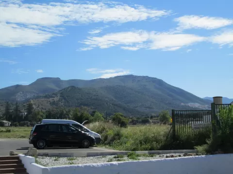
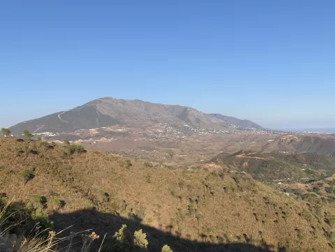
Sierra de Mijas
No reviews yet
Do you like this place? Be the first to vote
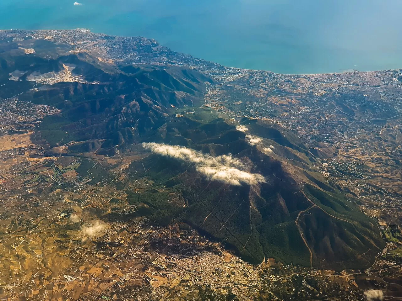
The Sierra de Mijas runs parallel to the Costa del Sol and separates the western coast of Málaga from the Guadalhorce valley. Its highest point is Pico de Mijas, at 1,150 metres, followed by Pico Mendoza, at 1,103. It is a marble massif, white dolomitic and bluish, already prized by the Romans, and lead, silver, iron and zinc were mined here; the mines are now abandoned.
Its slopes are very steep, almost vertical in places, and cut by deep ravines. The lower parts are covered in pine forests planted in the mid-20th century, with holm oaks, cork oaks and scrub. Iberian ibex, foxes, wild boar and birds of prey live here.
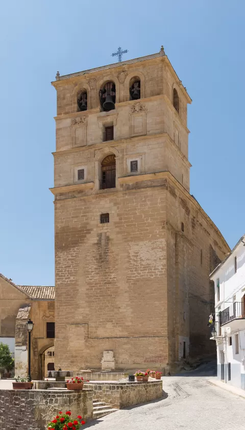
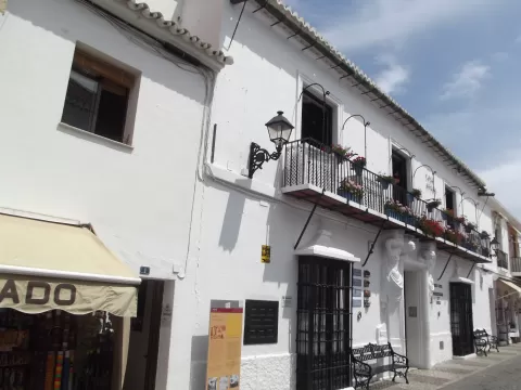
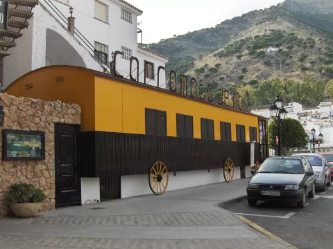
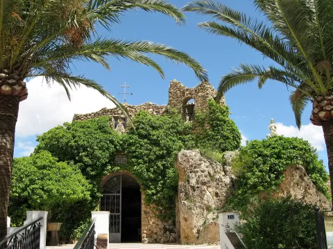
The white village of Mijas, clinging to the hillside with the mountains behind and the sea in front, is the best-known photo. From the top you look over the Costa del Sol, and the clear air of winter days gives the sharpest view.
What Sierra de Mijas has to offer
More viewpoints in Málaga More hiking trails in Málaga
Best time to photograph Sierra de Mijas today, 21 November
- Sunrise8:02 – 9:02golden hour
- Sunset17:06 – 18:06golden hour
- Blue hour18:06 – 18:34at dusk
At sunrise and sunset, low-angled light brings out the landscape's texture. Arrive 20 minutes early to get a good spot.
Hashtags for your photos of Sierra de Mijas
Upload your photo with #fotoMap and help more people discover this spot. The one with the most votes becomes the cover photo.
Reviews of Sierra de Mijas
Nobody has said what it's like yet. Have you been? Be the first to tell us.
Write a review