 See all 6 photos
Upload your photo
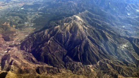
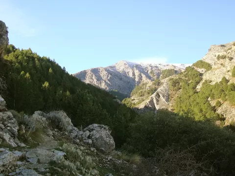
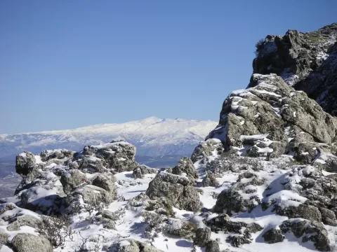
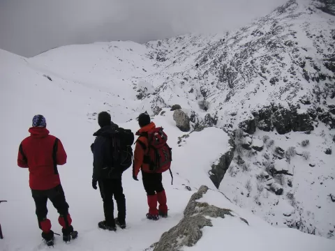
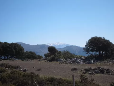
La Maroma
No reviews yet
Do you like this place? Be the first to vote
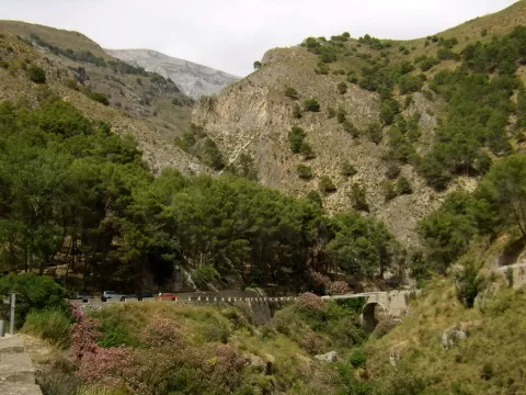
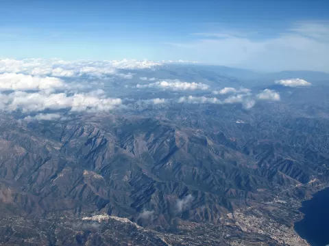
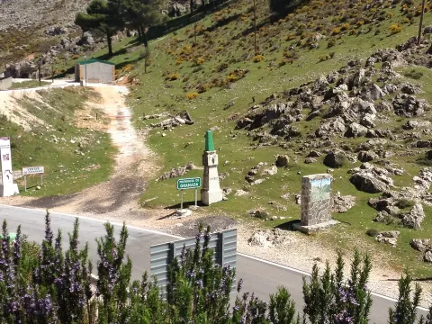
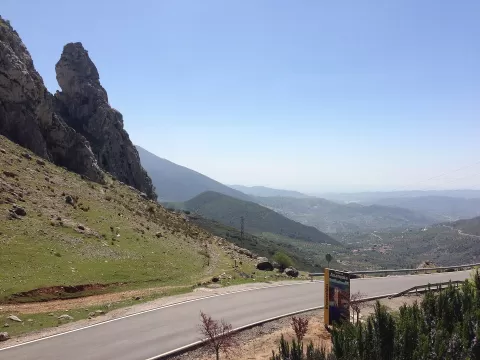
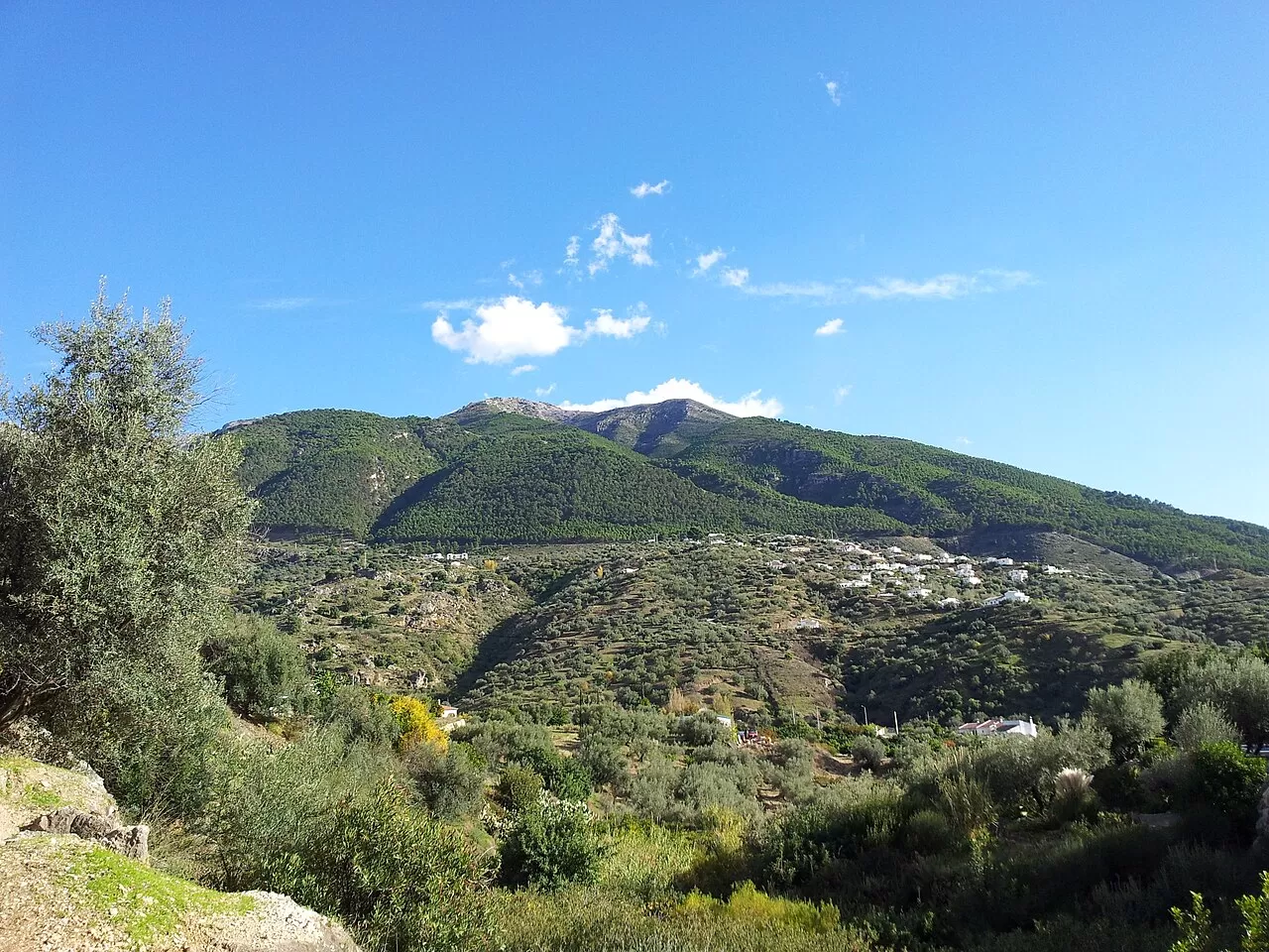
La Maroma, at 2069 metres, is the summit of the Sierra de Tejeda, within the Sierras de Tejeda, Almijara y Alhama Natural Park. It lies between Alhama de Granada and Canillas de Aceituno, on the boundary between Granada and Málaga, and can be seen from both cities. Until 2020 it was considered the highest point of the Axarquía and of the province of Málaga. The name comes from a nearby pothole into which people used to descend on ropes ("maromas") to collect snow; the peak used to be called Tejeda.
It is climbed on foot: from the north from El Robledal, near Ventas de Zafarraya, in almost three hours with a rocky final section; from the south from Canillas de Aceituno and Sedella, and from the west from Alcaucín. There is a trig point on the summit.
It is a peak visible from a long way off, so it works both as a destination and as a backdrop: from the Axarquía, its silhouette closes the horizon to the north.
What La Maroma has to offer
More viewpoints in Málaga More hiking trails in Málaga
Best time to photograph La Maroma today, 21 November
- Sunrise8:00 – 9:00golden hour
- Sunset17:03 – 18:03golden hour
- Blue hour18:03 – 18:31at dusk
At sunrise and sunset, low-angled light brings out the landscape's texture. Arrive 20 minutes early to get a good spot.
Hashtags for your photos of La Maroma
Upload your photo with #fotoMap and help more people discover this spot. The one with the most votes becomes the cover photo.
Reviews of La Maroma
Nobody has said what it's like yet. Have you been? Be the first to tell us.
Write a review