 See all 6 photos
Upload your photo
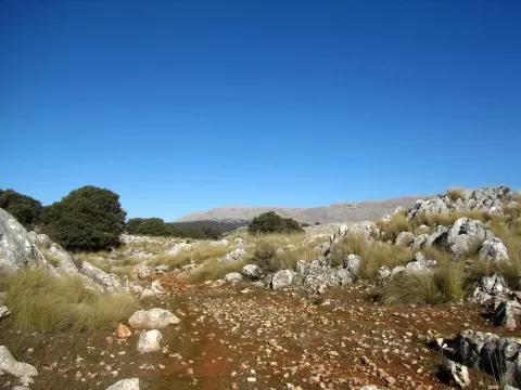
Sierra de Alhama
No reviews yet
Do you like this place? Be the first to vote
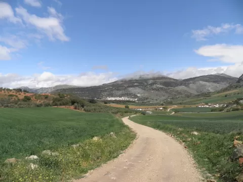
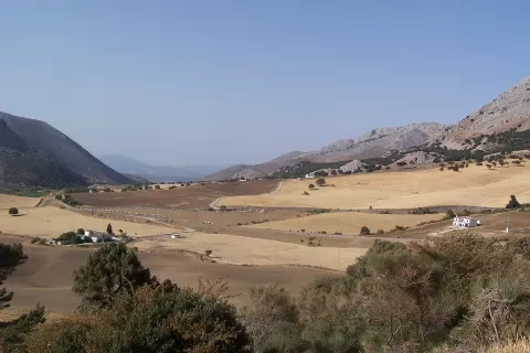
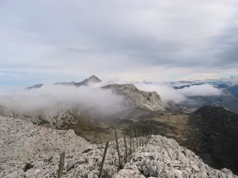
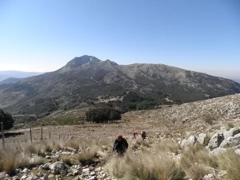
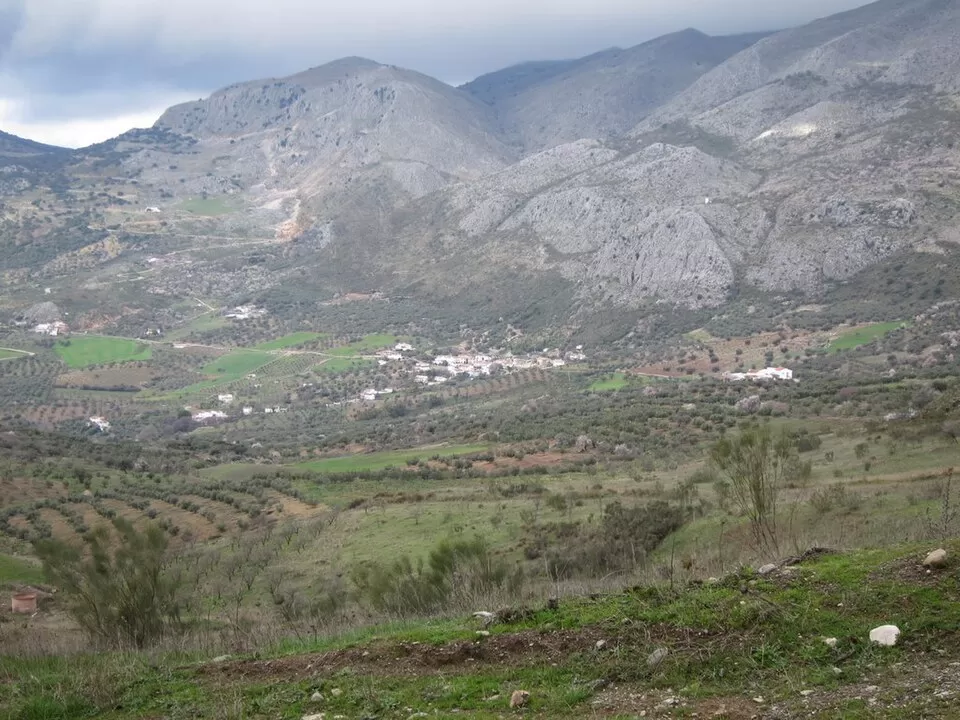
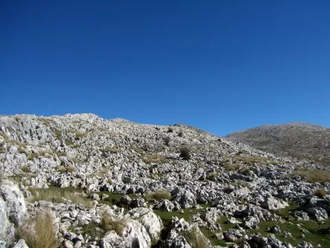
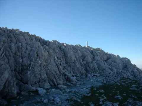
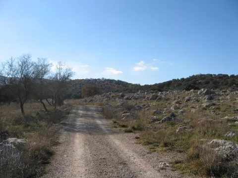
The Sierra de Alhama is a massif of the Penibaetic range between the provinces of Granada and Málaga, covering some 36 square kilometres. It separates the district of La Axarquía from that of Alhama and lies west of the Sierra de Tejeda. Its highest summit is the Pico de la Torca, at 1,500 metres, followed by the Hoyo del Toro, at 1,353, and the Cerro de Marchamonas, at 1,272.
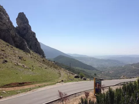
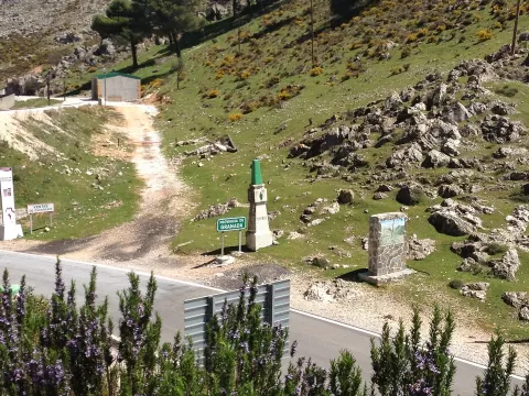
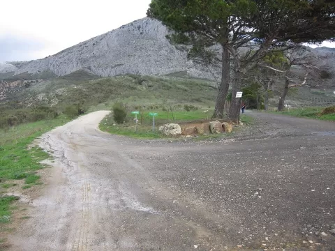
It is part of the Sierras de Tejeda, Almijara y Alhama Natural Park. The Boquete de Zafarraya, at 992 metres, is the most important natural pass between La Axarquía and the province of Granada, and the road crosses through it.
From the Boquete the view opens towards the Axarquía, which slopes down to the coast. Afternoon light gives depth to the mountain's slopes.
What Sierra de Alhama has to offer
More viewpoints in Málaga More hiking trails in Málaga
Best time to photograph Sierra de Alhama today, 21 November
- Sunrise8:01 – 9:01golden hour
- Sunset17:03 – 18:03golden hour
- Blue hour18:03 – 18:31at dusk
At sunrise and sunset, low-angled light brings out the landscape's texture. Arrive 20 minutes early to get a good spot.
Hashtags for your photos of Sierra de Alhama
Upload your photo with #fotoMap and help more people discover this spot. The one with the most votes becomes the cover photo.
Reviews of Sierra de Alhama
Nobody has said what it's like yet. Have you been? Be the first to tell us.
Write a review