 See all 6 photos
Upload your photo
Sierra Alpujata
No reviews yet
Do you like this place? Be the first to vote
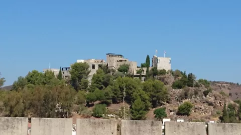
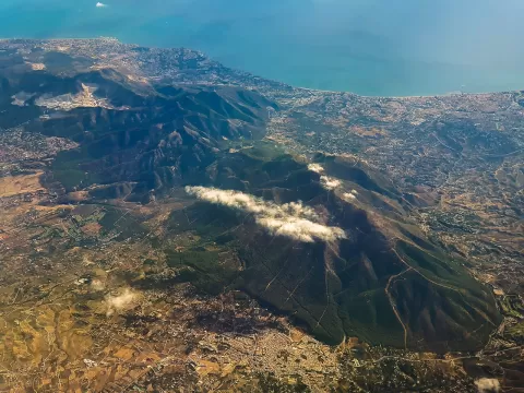
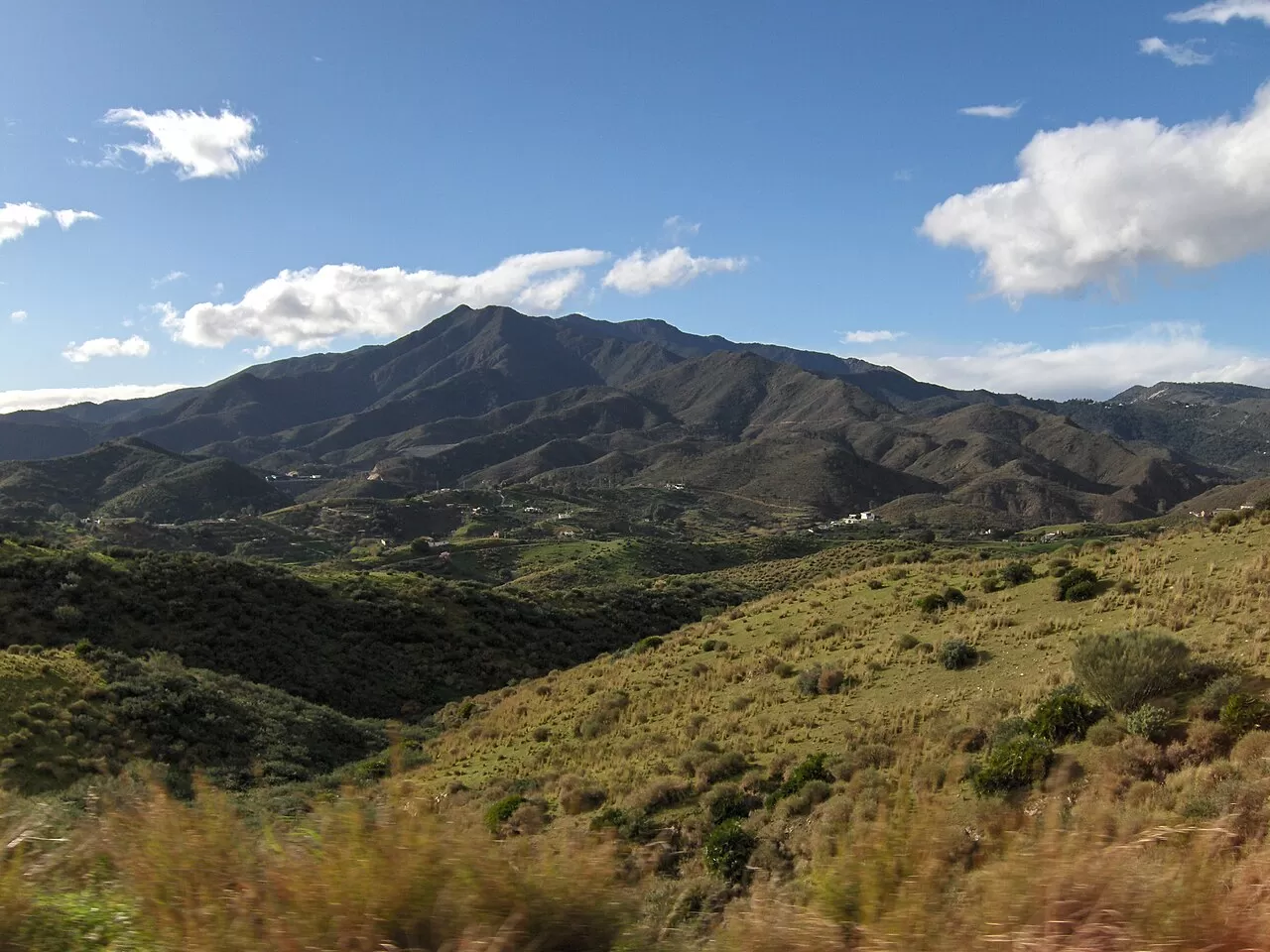
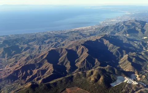
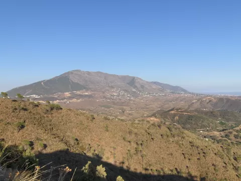
The Sierra Alpujata is a small range in the province of Málaga, between Sierra Blanca and the Sierra de Mijas, separating the Guadalhorce valley from the Costa del Sol. Monda and Coín lie to the north, and Mijas and Ojén to the south. Its highest point is Cerro Castillejos, at 1074 metres. It is the second most important peridotite massif in the Serranía de Ronda.
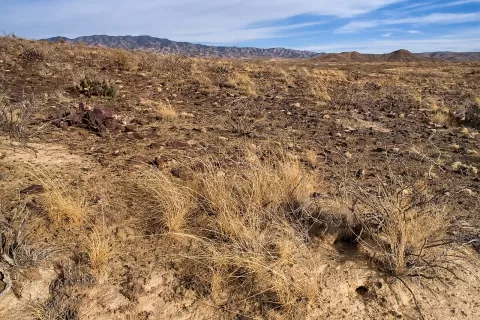
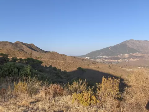
Its mines produced iron, nickel, lead, talc and, above all, magnetite. The rock leaves the range almost bare: it has been replanted with pines and eucalyptus, but junipers and scrub dominate. On 31 August 2012 it suffered a major fire in which two people died.
The visual appeal is that bare rock, which contrasts with the green of the Guadalhorce valley. The western part is called Sierra Parda and the eastern part Sierra Negra, and both gain relief in the raking light of late afternoon.
What Sierra Alpujata has to offer
More viewpoints in Málaga More hiking trails in Málaga
Best time to photograph Sierra Alpujata today, 21 November
- Sunrise8:02 – 9:02golden hour
- Sunset17:07 – 18:07golden hour
- Blue hour18:07 – 18:34at dusk
At sunrise and sunset, low-angled light brings out the landscape's texture. Arrive 20 minutes early to get a good spot.
Hashtags for your photos of Sierra Alpujata
Upload your photo with #fotoMap and help more people discover this spot. The one with the most votes becomes the cover photo.
Reviews of Sierra Alpujata
Nobody has said what it's like yet. Have you been? Be the first to tell us.
Write a review