 See all 6 photos
Upload your photo
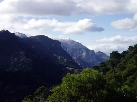
Sierra de Alcaparaín
No reviews yet
Do you like this place? Be the first to vote
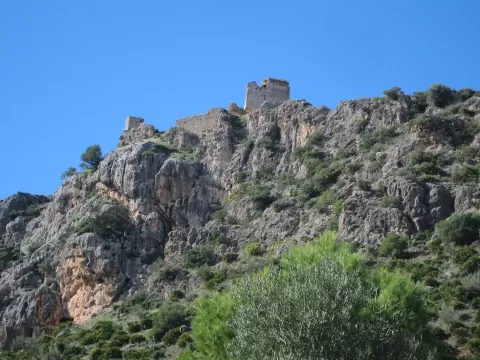
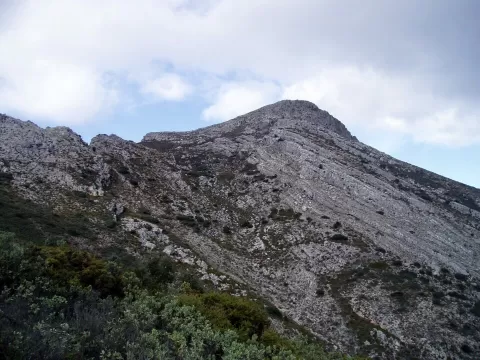
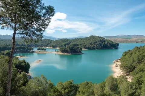
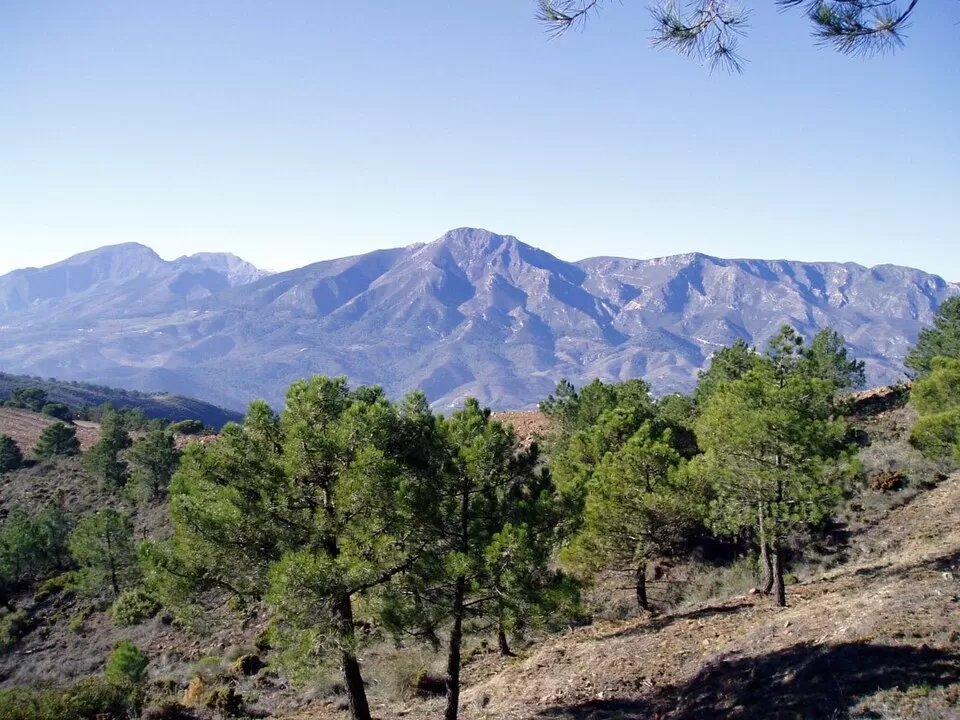
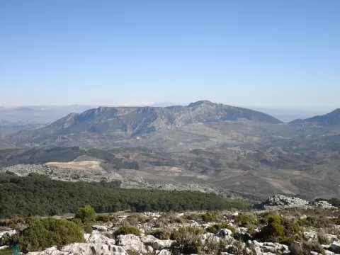
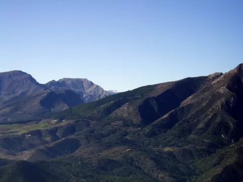
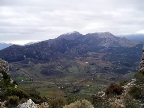
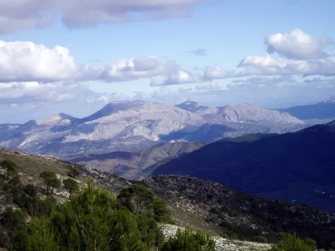
The Sierra de Alcaparaín is one of the easternmost ranges of the Serranía de Ronda, in the province of Málaga. It covers 6,500 hectares of the municipalities of Ardales, Carratraca and Casarabonela and closes off the Guadalhorce valley to the west. Its highest point is Pico del Grajo, or Valdivia, at 1,293 metres. The name is thought to come from Arabic and to mean “the two summits”. It has been a Special Area of Conservation since 2015 and is part of the Intercontinental Biosphere Reserve of the Mediterranean.
The summit is a plateau at about 1,000 metres. There are Aleppo pine, stone pine, juniper, kermes oak and rockrose, and Iberian ibex live here. Its peridotite soils support plants that hardly grow anywhere else.
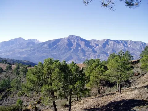
The outline of the two summits is what you recognise from the Guadalhorce valley. The low afternoon light brings out the relief of the range.
What Sierra de Alcaparaín has to offer
More viewpoints in Málaga More hiking trails in Málaga
Best time to photograph Sierra de Alcaparaín today, 21 November
- Sunrise8:03 – 9:03golden hour
- Sunset17:06 – 18:06golden hour
- Blue hour18:06 – 18:34at dusk
At sunrise and sunset, low-angled light brings out the landscape's texture. Arrive 20 minutes early to get a good spot.
Hashtags for your photos of Sierra de Alcaparaín
Upload your photo with #fotoMap and help more people discover this spot. The one with the most votes becomes the cover photo.
Reviews of Sierra de Alcaparaín
Nobody has said what it's like yet. Have you been? Be the first to tell us.
Write a review