 See all 6 photos
Upload your photo
Sierra de Meira
No reviews yet
Do you like this place? Be the first to vote
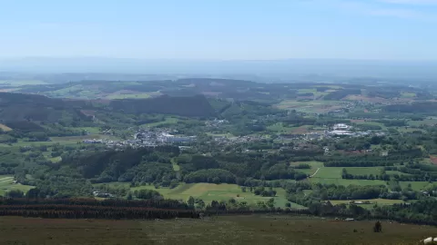
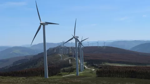
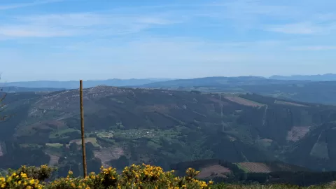
The Sierra de Meira is a ridge of Palaeozoic slate in the Cantabrian Mountains, in the east of the province of Lugo. It acts as the watershed between two rivers: the Miño rises on its western slope and the Eo on its eastern one.
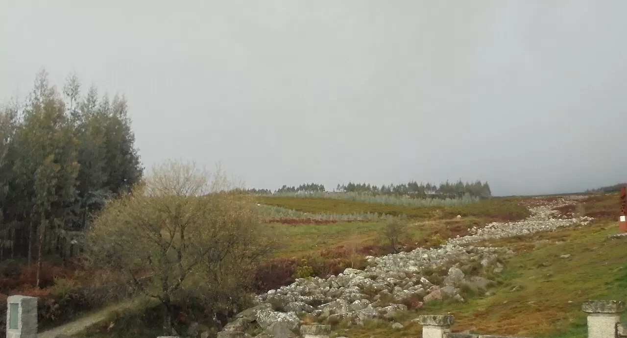
The source of the Miño is at the Pedregal de Irimia, less than 3 kilometres east of the village of Meira. It is a periglacial boulder field of about 1.4 km², protected as an underground nature reserve: the water runs beneath the stones and emerges at around 700 metres above sea level. Next to the boulder field there is a picnic area with stone tables, and the Ruta Miño-Eo starts from there. A circular route of about 9 km also takes in Pena da Lagoa and the Cruz de Meira.
The photo is the boulder field itself: the slope covered in blocks and the point where the water springs. After a few days of rain, the moss and damp give the stone more contrast.
What Sierra de Meira has to offer
More viewpoints in Lugo More hiking trails in Lugo
Best time to photograph Sierra de Meira today, 21 November
- Sunrise8:29 – 9:29golden hour
- Sunset17:00 – 18:00golden hour
- Blue hour18:00 – 18:31at dusk
At sunrise and sunset, low-angled light brings out the landscape's texture. Arrive 20 minutes early to get a good spot.
Hashtags for your photos of Sierra de Meira
Upload your photo with #fotoMap and help more people discover this spot. The one with the most votes becomes the cover photo.
Reviews of Sierra de Meira
Nobody has said what it's like yet. Have you been? Be the first to tell us.
Write a review