 See all 6 photos
Upload your photo
Sierra del Caurel
No reviews yet
Do you like this place? Be the first to vote
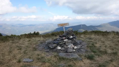
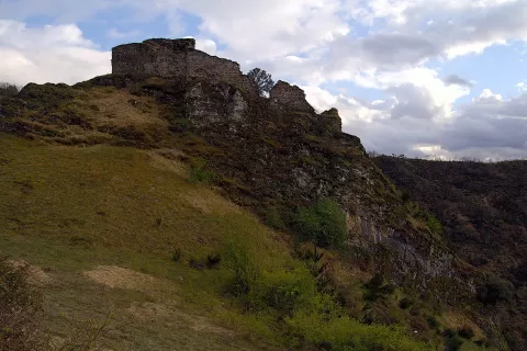
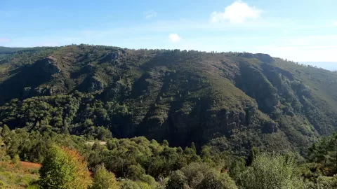
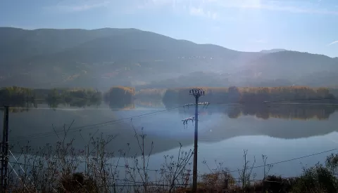
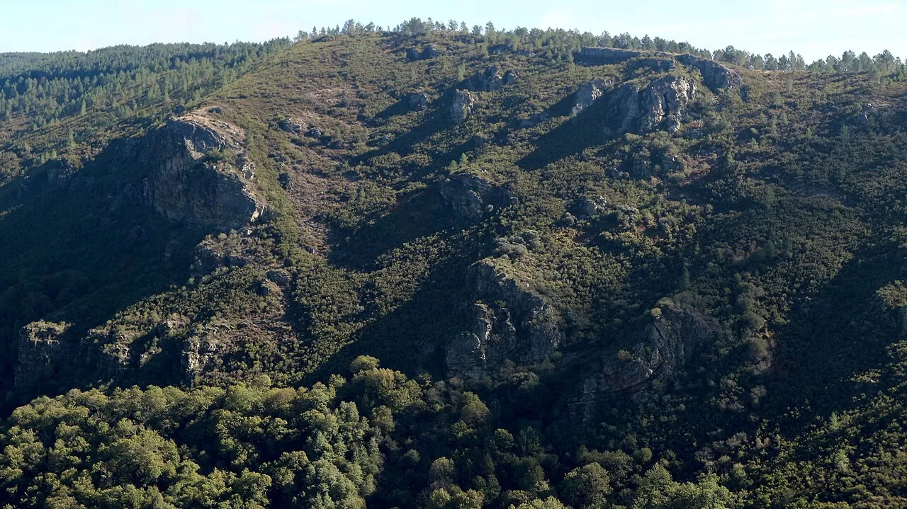
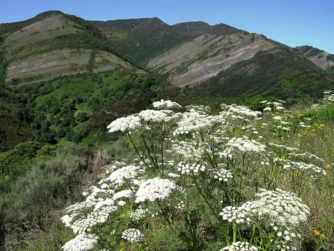
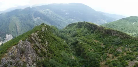
O Courel is a mountain range of some 21,000 hectares in the south-east of the province of Lugo, spread mainly across Folgoso do Courel and also Quiroga and Pedrafita do Cebreiro. It rises from the 400-500 metres of the Lor valley to the 1643 metres of Formigueiros, its highest peak, and is part of a UNESCO Global Geopark.
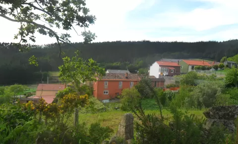
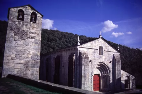
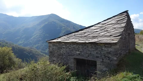
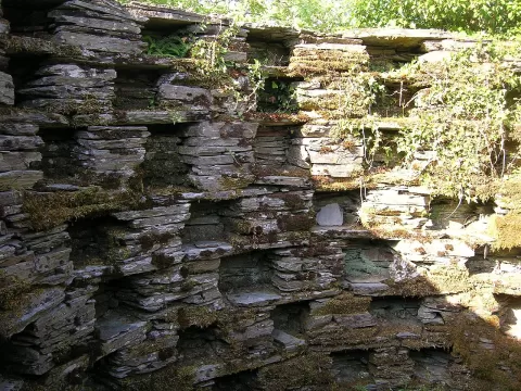
The Devesa da Rogueira is its best-known forest, with chestnuts, hollies, beeches, yews, oaks and birches. In Quiroga, the Campodola-Leixazós fold, formed between 350 and 300 million years ago, is a natural monument. The villages still have pallozas and alvarizas, circular slate enclosures built to protect beehives from bears; Romeor, Vilar and Parada de Moreda, birthplace of the poet Uxío Novoneyra, are some of them.
The fold, with its bent layers of rock exposed on the hillside, is the geological shot. In autumn the chestnuts and beeches change colour.
What Sierra del Caurel has to offer
More viewpoints in Lugo More hiking trails in Lugo
Best time to photograph Sierra del Caurel today, 21 November
- Sunrise8:27 – 9:27golden hour
- Sunset17:01 – 18:01golden hour
- Blue hour18:01 – 18:32at dusk
At sunrise and sunset, low-angled light brings out the landscape's texture. Arrive 20 minutes early to get a good spot.
Hashtags for your photos of Sierra del Caurel
Upload your photo with #fotoMap and help more people discover this spot. The one with the most votes becomes the cover photo.
Reviews of Sierra del Caurel
Nobody has said what it's like yet. Have you been? Be the first to tell us.
Write a review