 See all 6 photos
Upload your photo

Mount Pindo
No reviews yet
Do you like this place? Be the first to vote
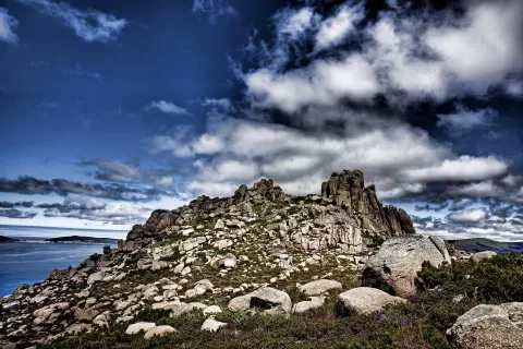
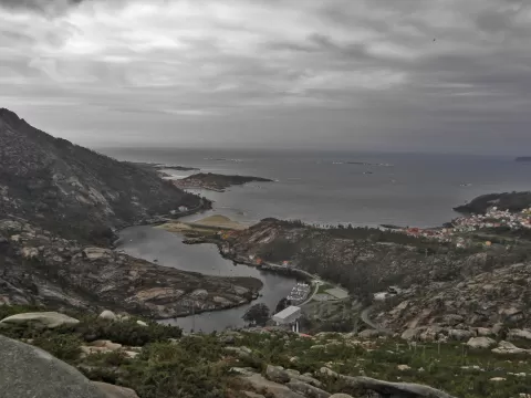
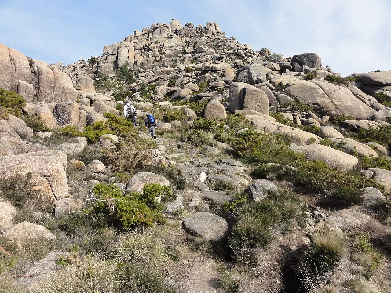
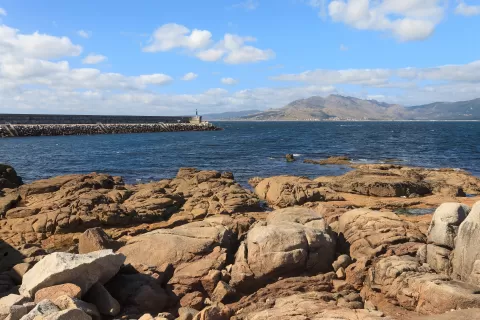
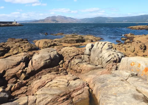
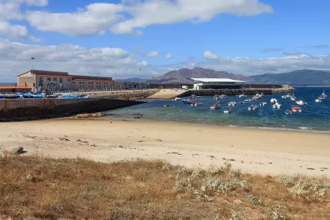
Mount Pindo is a granite massif between the Ría de Corcubión and the Ría de Muros e Noia, shared between Carnota, Mazaricos, Cee and Dumbría. Its summit, A Moa, reaches 627 metres, and the whole mountain is dotted with granite boulders whose shapes inspired legends of giants, monsters and gods. There are petroglyphs and the remains of the castle of San Xurxo, built in the 10th century and destroyed in 1467. It is protected within the Carnota-Monte Pindo natural area, covering 4,629 hectares.
You climb A Moa from the village of O Pindo or from O Fieiro, on a circuit of about 9 kilometres. Turismo de Galicia reckons on a couple of hours for the ascent and advises caution on the descent.
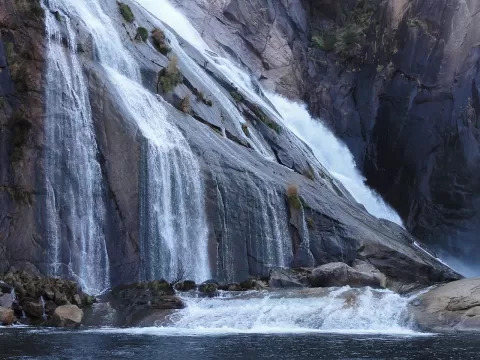
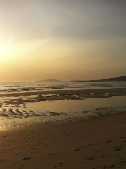
From the summit you can see the ocean, Carnota beach, Cape Fisterra and the Ría de Corcubión. The low sunset light warms the granite; from the Ézaro viewpoint you can see the massif above the sea.
What Mount Pindo has to offer
More viewpoints in A Coruña More hiking trails in A Coruña
Best time to photograph Mount Pindo today, 21 November
- Sunrise8:36 – 9:36golden hour
- Sunset17:08 – 18:08golden hour
- Blue hour18:08 – 18:39at dusk
At sunrise and sunset, low-angled light brings out the landscape's texture. Arrive 20 minutes early to get a good spot.
Hashtags for your photos of Mount Pindo
Upload your photo with #fotoMap and help more people discover this spot. The one with the most votes becomes the cover photo.
Reviews of Mount Pindo
Nobody has said what it's like yet. Have you been? Be the first to tell us.
Write a review