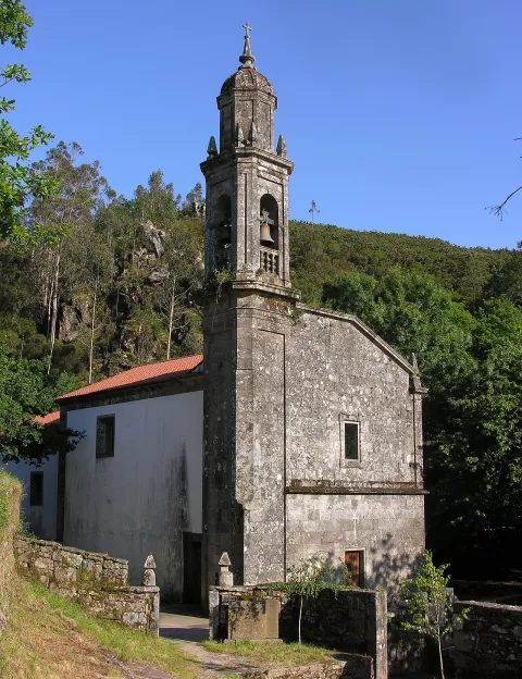
 See all 2 photos
Upload your photo
Tremuzo
No reviews yet
Do you like this place? Be the first to vote
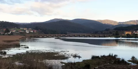
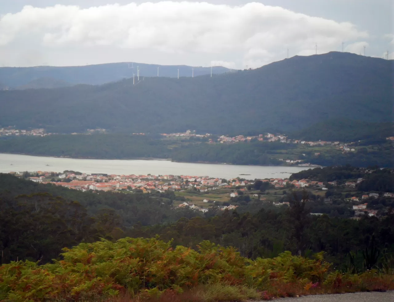
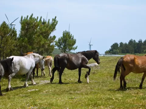
Tremuzo is a mountain of the Galician Massif in Outes, in the middle of the Ría de Muros e Noia. Sources put it at between 524 and 531 metres. It is the highest point in the municipality and in the range that closes off the ría to the north. On the summit there is a picnic area and the Pedregal Tremuzo wind farm.
The official viewpoint is in the parish of O Freixo de Sabardes. On foot, you climb from Cruceiro de Roo along forest tracks and paths; another route starts from Catasueiro, although it is not signposted.
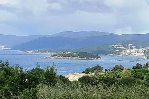
From the top you can see the last stretch of the Tambre and the mouth of the Tines in the Enseada do Engano, with the Barbanza range on the other side of the ría. At high tide the ría fills up and the water dominates the frame; clear days let you see further.
What Tremuzo has to offer
More viewpoints in A Coruña More hiking trails in A Coruña
Best time to photograph Tremuzo today, 21 November
- Sunrise8:35 – 9:35golden hour
- Sunset17:08 – 18:08golden hour
- Blue hour18:08 – 18:38at dusk
At sunrise and sunset, low-angled light brings out the landscape's texture. Arrive 20 minutes early to get a good spot.
Hashtags for your photos of Tremuzo
Upload your photo with #fotoMap and help more people discover this spot. The one with the most votes becomes the cover photo.
Reviews of Tremuzo
Nobody has said what it's like yet. Have you been? Be the first to tell us.
Write a review