Beaches and coves in Brittany
236 places of this kind in Brittany, ranked by their fotoMap score: what people who've been there like most, with recent votes counting more.
Updated on
-
1
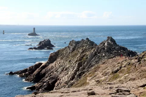 Punta de Raz
Plogoff (Finistère)
A cape of about 70 metres in Breton Finistère, facing the Raz de Sein strait, La Vieille lighthouse and the Île de Sein.
-
2
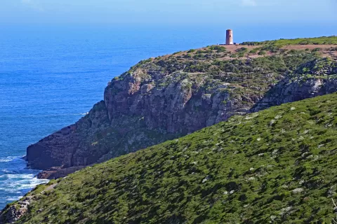 Cabo Fréhel
Côtes-d'Armor
A pink sandstone cape 70 metres above the sea in Côtes-d'Armor, with 340 hectares of heathland, two lighthouses and seabird colonies.
-
3
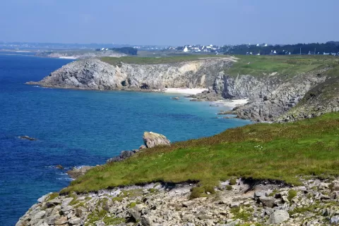 Punta de Corsen
Plouarzel (Finistère)
A 30-metre granite cliff at Plouarzel, often regarded as the westernmost point of mainland France.
-
4
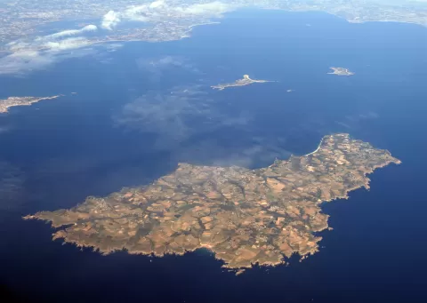 Belle Île
Bangor (Morbihan)
The largest island in Brittany, 12 km south of Quiberon, with a wild cliff coast, the citadel of Le Palais and the Needles of Port-Coton.
-
5
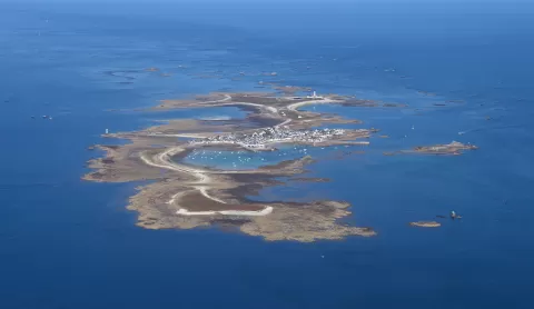 Isla de Sein
Île-de-Sein (Finistère)
A car-free Breton island 7 km from the Pointe du Raz, with an average altitude of 1.5 metres and a prominent role in Free France.
-
6
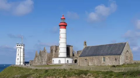 Punta de Saint-Mathieu
Plougonvelin (Finistère)
A cliff-lined cape in Breton Finistère where an 1835 lighthouse, the ruins of a Benedictine abbey and a signal station stand together.
-
7
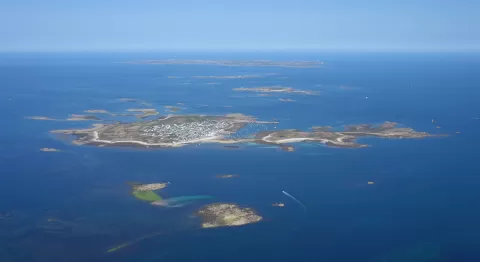 Isla de Molène
Île-Molène (Finistère)
A 72-hectare Breton island in the Iroise Sea, almost car-free, the main island of the Molène archipelago off Finistère.
-
8
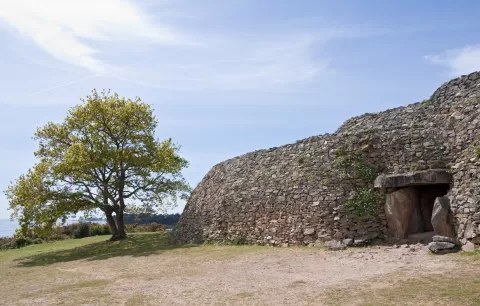 Gavrinis
Larmor-Baden (Morbihan)
An island in the Gulf of Morbihan that holds a Neolithic cairn from around 4200 BC, the most richly decorated megalith in Brittany.
-
9
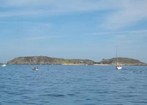 Cézembre
Saint-Malo (Ille-et-Vilaine)
An islet off Saint-Malo bombed for almost a month in 1944, with one beach open to the public and the rest still not cleared of mines.
-
10
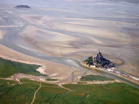 Mont-Saint-Michel Bay
Ille-et-Vilaine
A bay of about 500 km² with the highest tides in Europe, which at low tide expose some 250 km² of sand around the Mont.
-
11
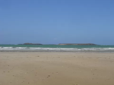 Téviec
Saint-Pierre-Quiberon (Morbihan)
A private islet off the isthmus of the Quiberon peninsula where a Mesolithic burial ground from around 5500 BCE was excavated.
-
12
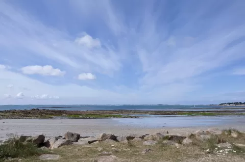 Quiberon Bay
Morbihan
A triangular bay in southern Brittany, sheltered by the Quiberon peninsula and the islands of Houat and Hoëdic, a major regatta area.
-
13
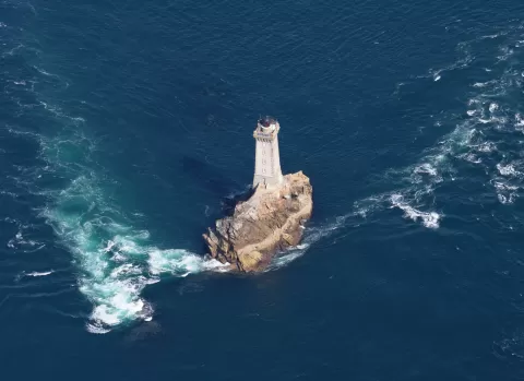 Faro de la Vieille
Plogoff (Finistère)
-
14
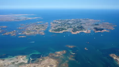 Bréhat
Île-de-Bréhat (Côtes-d'Armor)
-
15
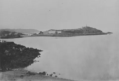 Tristan Island
Douarnenez (Finistère)
-
16
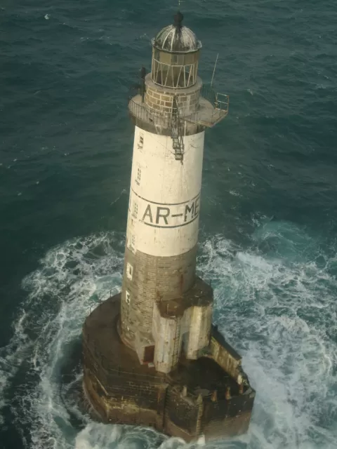 Faro de Ar Men
Île-de-Sein (Finistère)
-
17
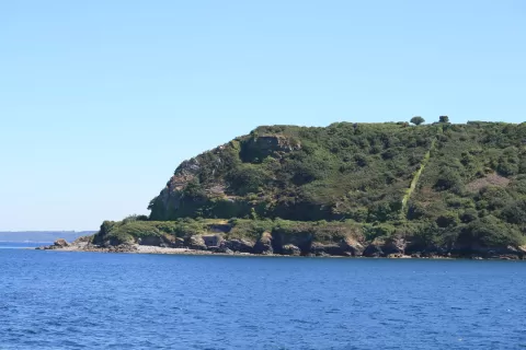 Punta de los Españoles
Finistère
-
18
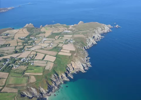 Pointe du Van
Finistère
-
19
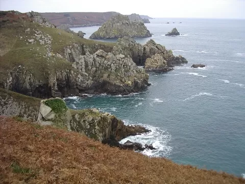 Cap Sizun
Beuzec-Cap-Sizun (Finistère)
-
20
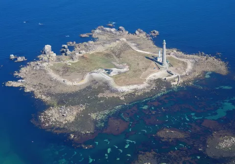 Île Vierge
Plouguerneau (Finistère)
-
21
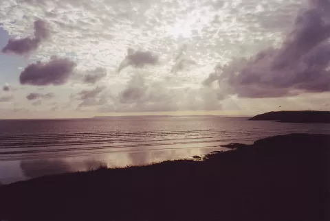 Bahía de Douarnenez
Finistère
-
22
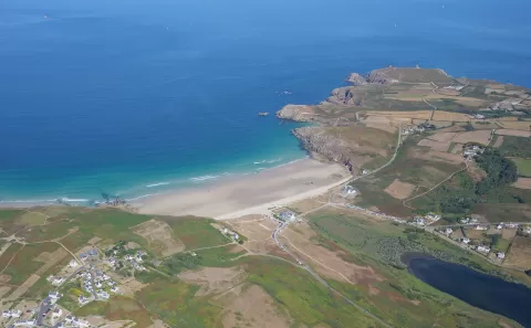 Baie des Trépassés
Finistère
-
23
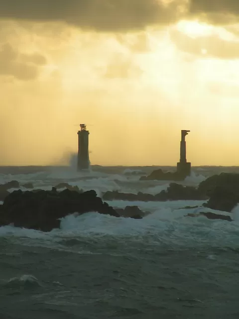 Nividic Lighthouse
Ouessant (Finistère)
-
24
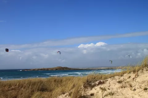 Pointe de la Torche
Plomeur (Finistère)
-
25
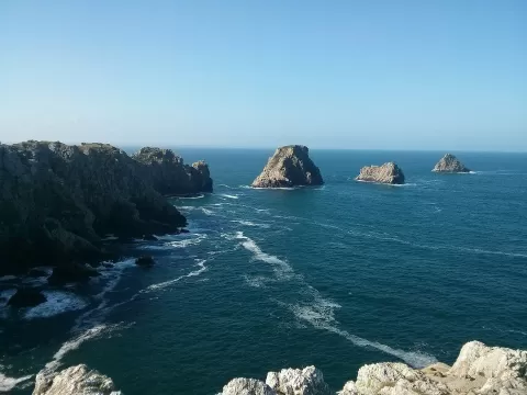 Pen-Hir cape
Camaret-sur-Mer (Finistère)
-
26
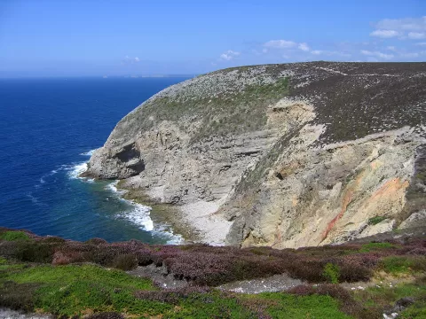 Cap de la Chèvre
Crozon (Finistère)
-
27
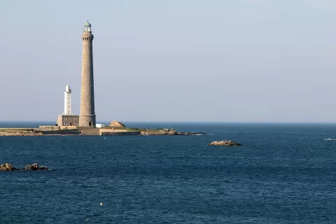 Île Vierge lighthouse
Plouguerneau (Finistère)
-
28
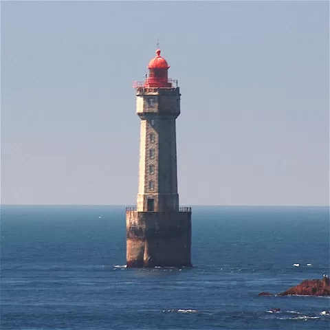 Faro de la Jument
Ouessant (Finistère)
-
29
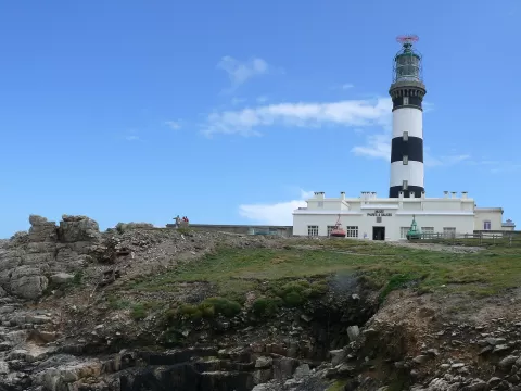 Faro del Créac'h
Ouessant (Finistère)
-
30
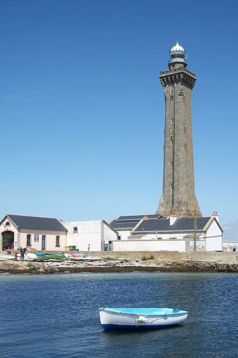 Penmarc'h Lighthouse
Penmarch (Finistère)
And 206 more on the map.
Frequently asked questions
Which beaches and coves in Brittany are most worth visiting?
According to fotoMap's score, it's Punta de Raz (Plogoff (Finistère)): A cape of about 70 metres in Breton Finistère, facing the Raz de Sein strait, La Vieille lighthouse and the Île de Sein. Followed by Cabo Fréhel and Punta de Corsen.
What's the best time to take photos in Brittany?
Golden hour, with low, warm light: today, 21 November, 8:29 – 9:29 in the morning and 16:29 – 17:29 in the evening. For a deep blue sky, blue hour: 7:54 – 8:29 in the morning and 17:29 – 18:04 in the evening. Each place shows the times for its exact location.