 See all 6 photos
Upload your photo
Isla de Molène
No reviews yet
Do you like this place? Be the first to vote
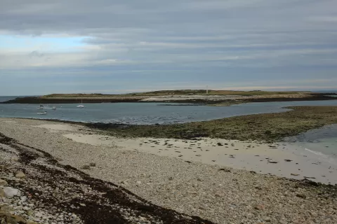
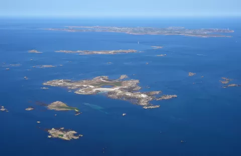
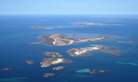
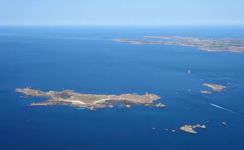
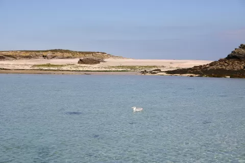
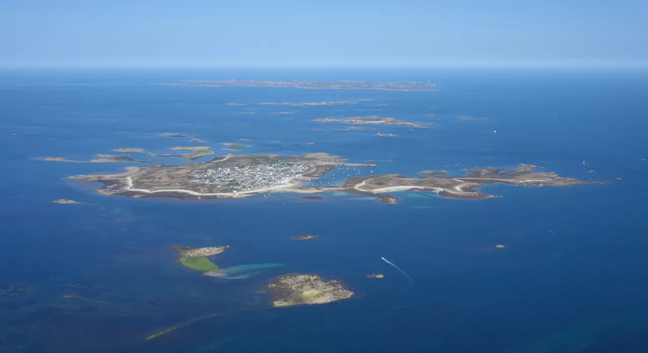
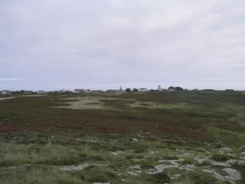
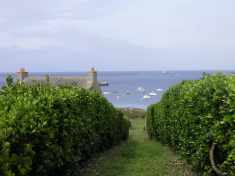
Molène is the main island of the archipelago of the same name, in the Iroise Sea, about 15 km off the coast of Finistère. It measures about 1,200 by 800 metres, 72 hectares, and its highest point is 26 metres. About 176 people live there.
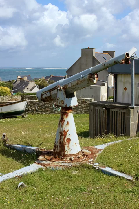
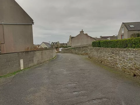
Boats link it daily with Brest and Le Conquet. There are hardly any vehicles, only a few for goods, and it is explored on foot. In the village stands the church of Saint-Ronan, from the late 19th century, and at the highest point, the signal station.
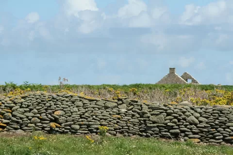
The name comes from the Breton moal enez, bald island, because there are no trees. In the past, seaweed was burnt in kilns to obtain soda, and its ashes were used as fertiliser. In 1896 the Drummond Castle was wrecked off its coast.
What Isla de Molène has to offer
More viewpoints in Finistère More beaches and coves in Finistère
Best time to photograph Isla de Molène today, 21 November
- Sunrise8:36 – 9:36golden hour
- Sunset16:34 – 17:34golden hour
- Blue hour17:34 – 18:09at dusk
At sunset the sea turns orange; at low tide you get reflections on the wet sand.
Hashtags for your photos of Isla de Molène
Upload your photo with #fotoMap and help more people discover this spot. The one with the most votes becomes the cover photo.
Reviews of Isla de Molène
Nobody has said what it's like yet. Have you been? Be the first to tell us.
Write a review