 See all 6 photos
Upload your photo
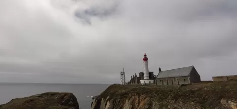
Punta de Saint-Mathieu
No reviews yet
Do you like this place? Be the first to vote
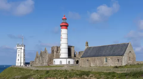
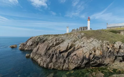
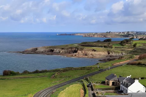
The Pointe Saint-Mathieu, in Plougonvelin, is a headland of cliffs about 20 metres high at the entrance to the Brest roadstead, facing the Molène archipelago and the Iroise Sea. Naval battles were fought off it in 1403 and 1512.
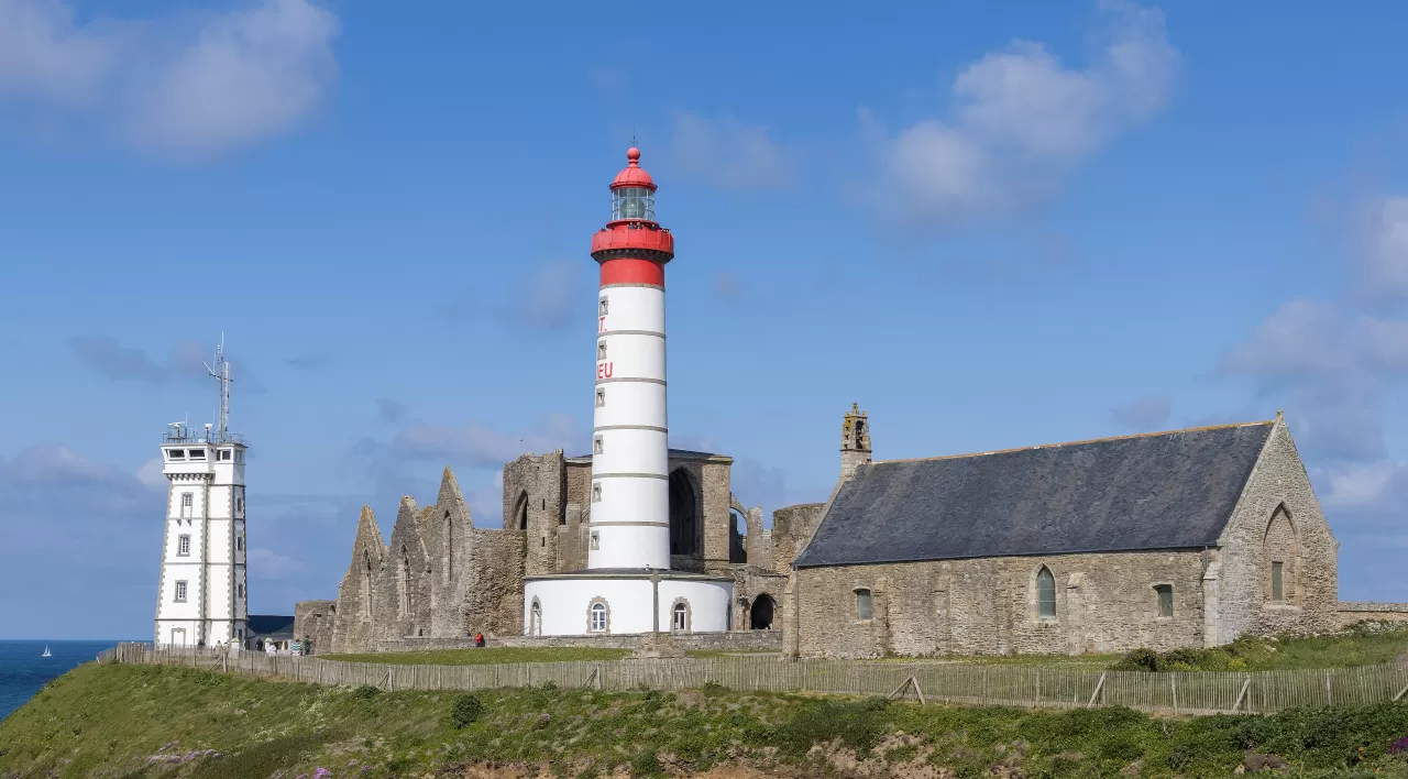
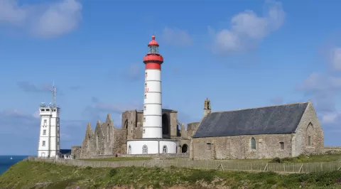
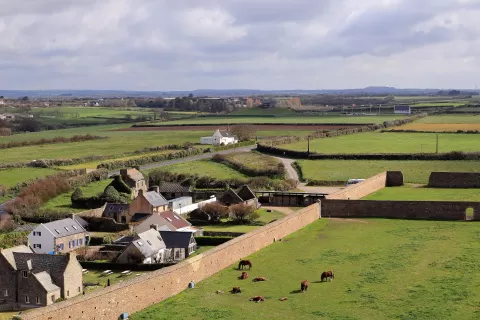
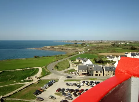
The lighthouse, from 1835, is 37 metres tall, stands 56 metres above the sea and can be climbed in summer by 163 steps. Beside it are the ruins of the Benedictine Abbey of Saint-Mathieu de Fine-Terre, a historic monument since 1867, the chapel of Notre-Dame-de-Grâce and the 1906 signal station. The cenotaph to sailors who died for France, from 1927, opens a memorial trail of about 4 km.
The lighthouse beside the abbey walls, on the edge of the cliff, is the classic view of the place. In the rock you can still see the holes that held the beams used to haul up seaweed.
What Punta de Saint-Mathieu has to offer
More viewpoints in Finistère More beaches and coves in Finistère
Best time to photograph Punta de Saint-Mathieu today, 21 November
- Sunrise8:35 – 9:35golden hour
- Sunset16:34 – 17:34golden hour
- Blue hour17:34 – 18:09at dusk
At sunset the sea turns orange; at low tide you get reflections on the wet sand.
Hashtags for your photos of Punta de Saint-Mathieu
Upload your photo with #fotoMap and help more people discover this spot. The one with the most votes becomes the cover photo.
Reviews of Punta de Saint-Mathieu
Nobody has said what it's like yet. Have you been? Be the first to tell us.
Write a review