 See all 6 photos
Upload your photo
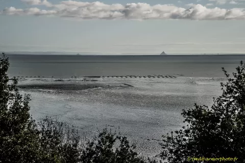
Mont-Saint-Michel Bay
No reviews yet
Do you like this place? Be the first to vote
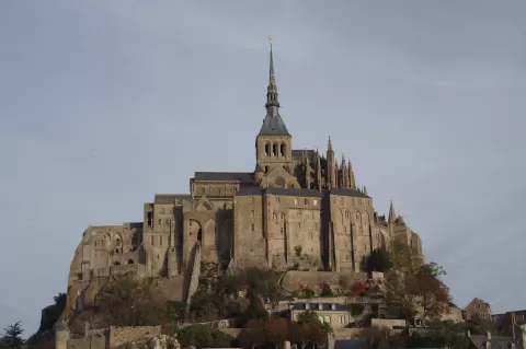
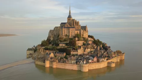
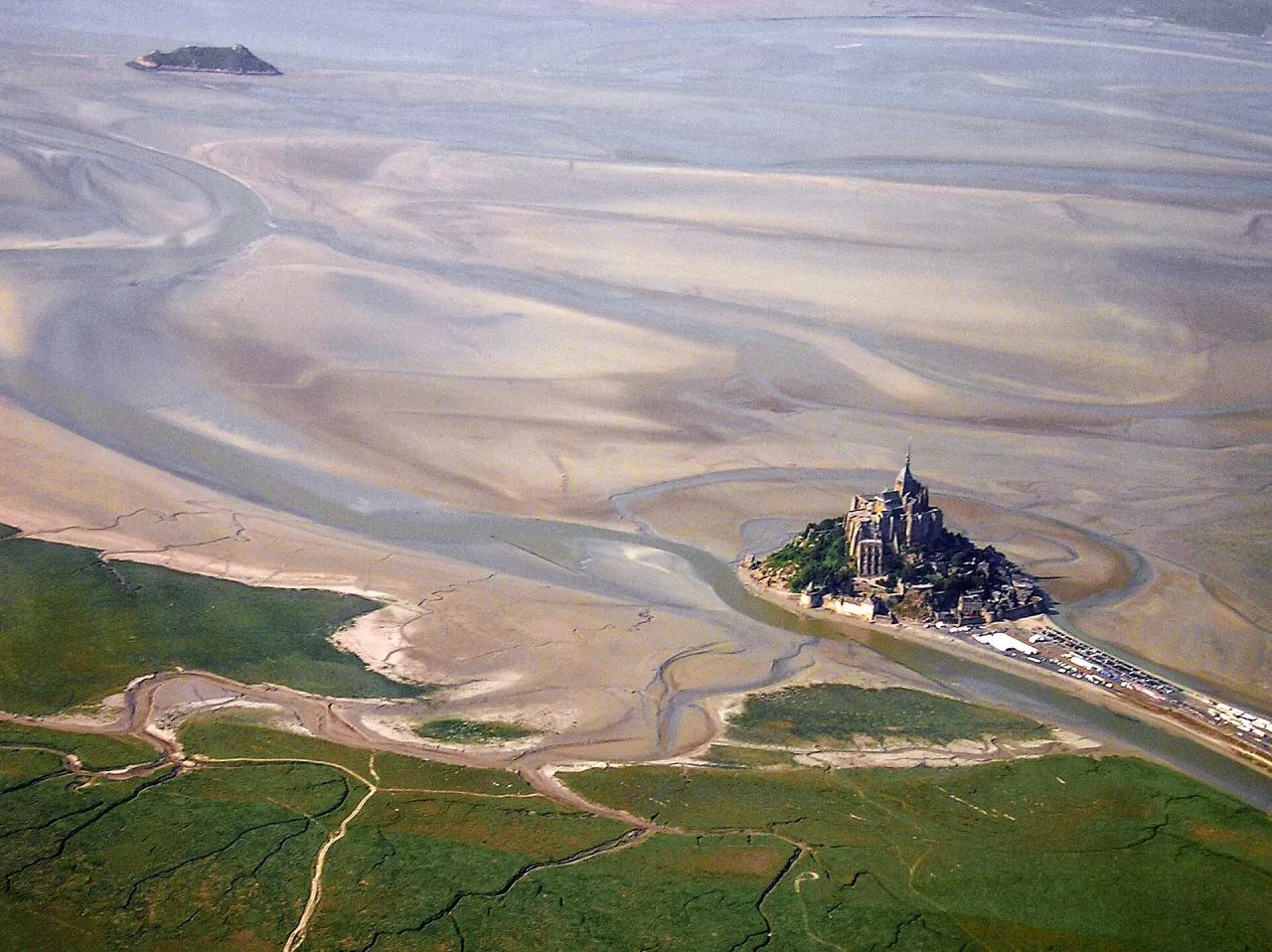
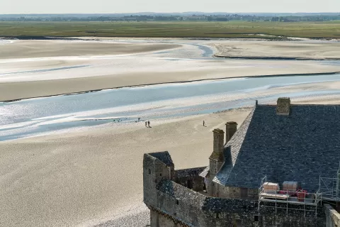
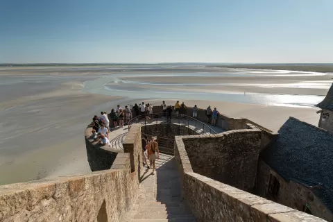
Mont-Saint-Michel Bay covers about 500 km². It has the largest tides in Europe, about 10 metres on average and up to 15 at exceptional spring tides, and low tide uncovers some 250 km². It has been a World Heritage Site since 1979, together with the Mont, and a Ramsar wetland since 1994.
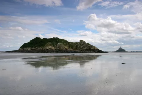
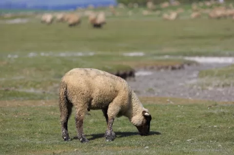
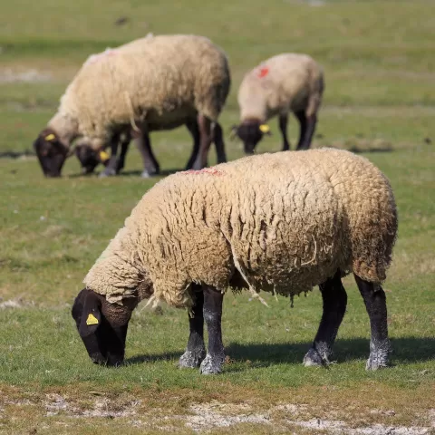
It can only be crossed on foot with an authorised guide, from Genêts, via the Bec d'Andaine, or from Vains, towards the Mont and the granite islet of Tombelaine. The tide comes in at about 3.6 km/h and quicksands of tangue, a fine silt, form on the edges of the channels. Pré-salé lambs graze on the salt meadows.
The saying that the sea comes in at the speed of a galloping horse is not by Victor Hugo: it was popularised by Théophile Gautier in 1859. The bay holds Europe's largest reef built by animals, the honeycomb worm reef, covering more than 100 hectares.
What Mont-Saint-Michel Bay has to offer
More viewpoints in Ille-et-Vilaine More beaches and coves in Ille-et-Vilaine
Best time to photograph Mont-Saint-Michel Bay today, 21 November
- Sunrise8:24 – 9:24golden hour
- Sunset16:20 – 17:20golden hour
- Blue hour17:20 – 17:55at dusk
At sunset the sea turns orange; at low tide you get reflections on the wet sand.
Hashtags for your photos of Mont-Saint-Michel Bay
Upload your photo with #fotoMap and help more people discover this spot. The one with the most votes becomes the cover photo.
Reviews of Mont-Saint-Michel Bay
Nobody has said what it's like yet. Have you been? Be the first to tell us.
Write a review