 See all 6 photos
Upload your photo
Isla de Sein
No reviews yet
Do you like this place? Be the first to vote
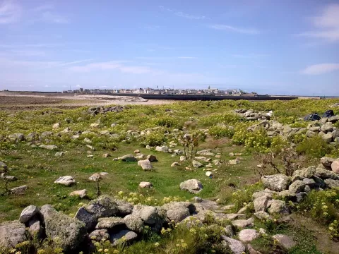
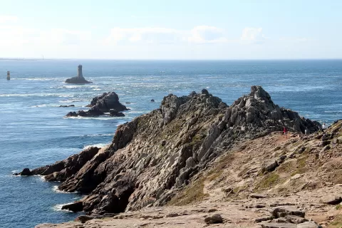
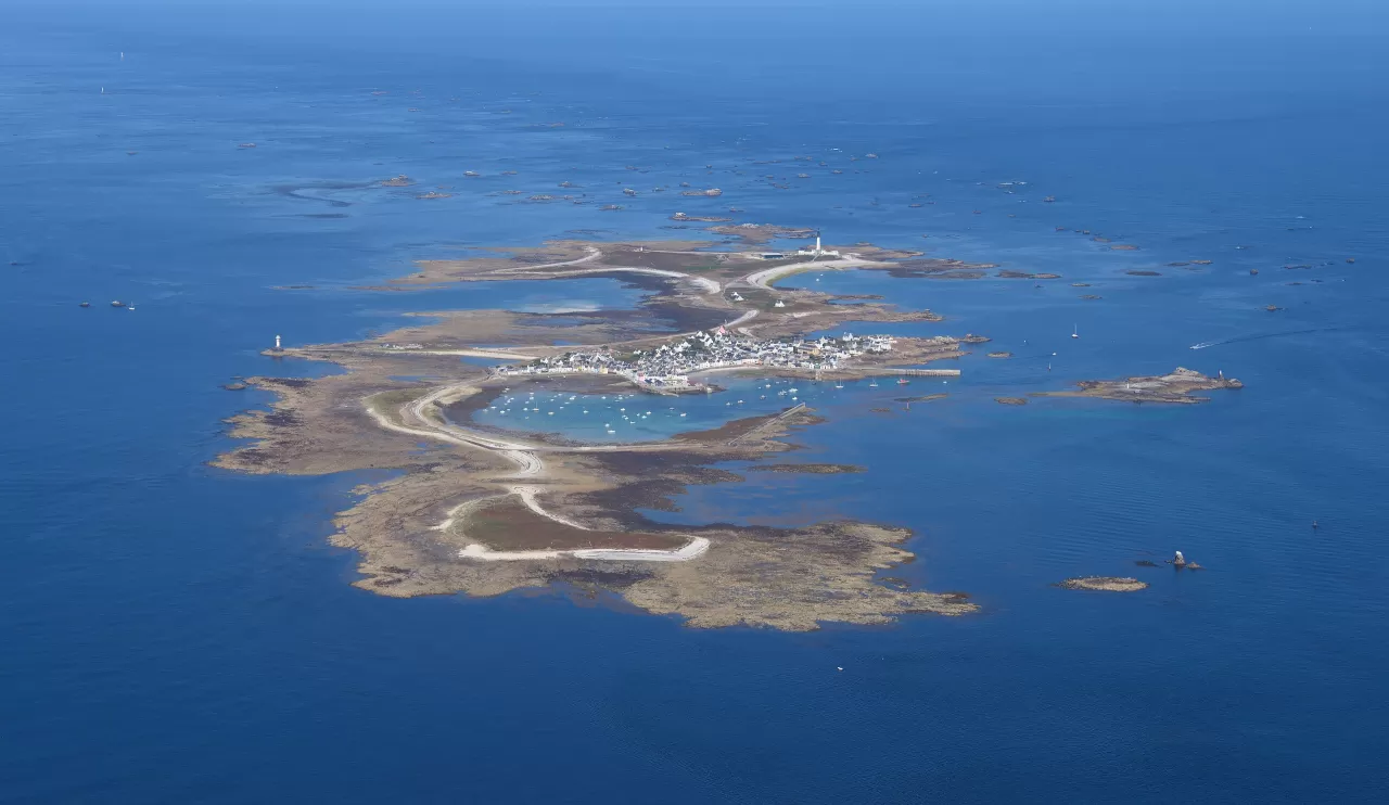
The Île de Sein lies about 7 km west of the Pointe du Raz, in Finistère, separated from it by the Raz de Sein strait and 23 km in a straight line from Audierne. It is 1.8 km long and between 30 and 800 metres wide, little more than half a square kilometre, and its average altitude is 1.5 metres; the highest point, the Kador rock, reaches 15.
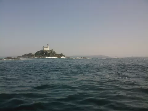
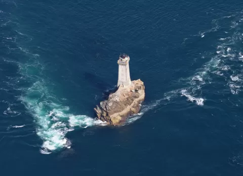
The village clusters around the harbour, with narrow streets that shelter it from the wind and the waves, and there are no cars on the island. It is reached by boat from Audierne in about an hour. Out at sea, on the Chaussée de Sein, stands the Ar-Men lighthouse.
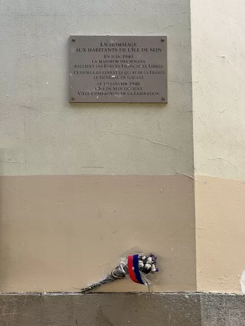
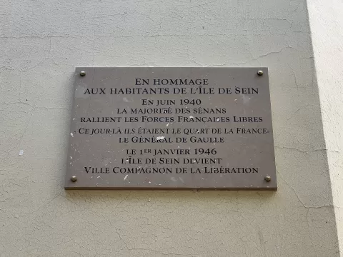
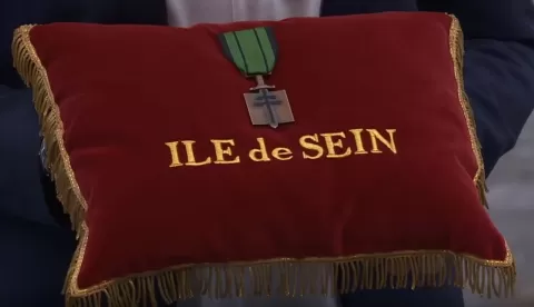
In June 1940 several boats left the island for England; in all, 133 islanders joined the Free French Naval Forces, and De Gaulle went as far as to say that the Île de Sein was a quarter of France.
What Isla de Sein has to offer
More viewpoints in Finistère More beaches and coves in Finistère
Best time to photograph Isla de Sein today, 21 November
- Sunrise8:34 – 9:34golden hour
- Sunset16:35 – 17:35golden hour
- Blue hour17:35 – 18:10at dusk
At sunset the sea turns orange; at low tide you get reflections on the wet sand.
Hashtags for your photos of Isla de Sein
Upload your photo with #fotoMap and help more people discover this spot. The one with the most votes becomes the cover photo.
Reviews of Isla de Sein
Nobody has said what it's like yet. Have you been? Be the first to tell us.
Write a review