Hiking trails in the Balearic Islands
33 places of this kind in the Balearic Islands, ranked by their fotoMap score: what people who've been there like most, with recent votes counting more.
Updated on
-
1
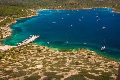 Cabrera National Park
Palma de Mallorca (Balearic Islands)
An archipelago south of Mallorca with one of the best-preserved coastlines in the Mediterranean, a castle by the harbour and its lighthouse.
-
2
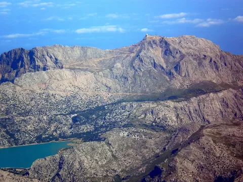 Puig Mayor
Escorca (Balearic Islands)
The roof of Mallorca, 1,436 metres in the Serra de Tramuntana, its summit occupied by a military radar since the 1950s.
-
3
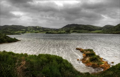 S'Albufera des Grau Natural Park
Maó (Balearic Islands)
A natural park in north-east Menorca around a brackish lagoon by the sea, with the Illa d'en Colom and the Favàritx lighthouse.
-
4
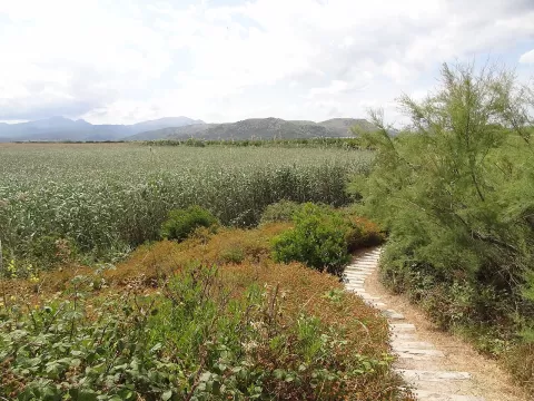 S'Albufera de Mallorca Natural Park
Muro (Balearic Islands)
The largest wetland in the Balearic Islands: canals, reed beds and lagoons between Muro and sa Pobla, with hides for birdwatching.
-
5
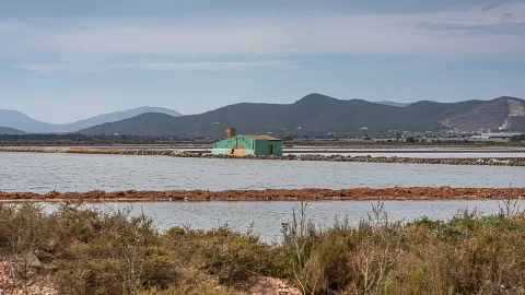 Ses Salines Natural Park
Balearic Islands
Salt pans, lagoons and dunes between Ibiza and Formentera, with flamingos all year round and the Es Freus strait dotted with islets.
-
6
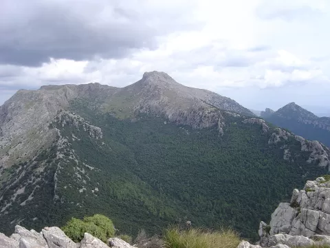 Masanella
Escorca (Balearic Islands)
Mallorca's second-highest mountain, at 1,364 metres, above Lluc, with views of Puig Major, Cúber and, on clear days, Menorca.
-
7
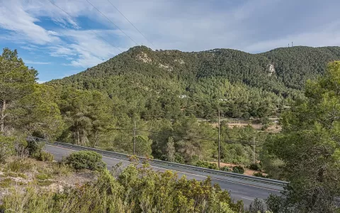 Atalayasa
Sant Josep de sa Talaia (Balearic Islands)
Ibiza's highest mountain, 475 metres above Sant Josep de sa Talaia, with one of the widest views of the island and the bay of Portmany.
-
8
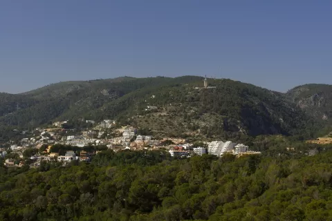 Sierra de Na Burguesa
Calvià (Balearic Islands)
-
9
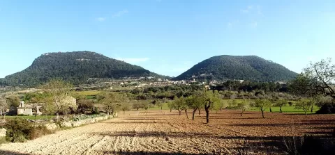 Puig de Randa
Algaida (Balearic Islands)
Mountain of about 543 metres in the centre of Mallorca with three sanctuaries, one clinging to the rock face, and views over the island.
-
10
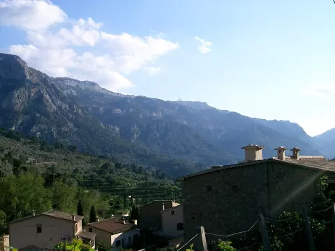 Sierra de Alfabia
Sóller (Balearic Islands)
1,067-metre Tramuntana range closing off the Sóller valley to the south, crossed by the tunnel and the old Coll road.
-
11
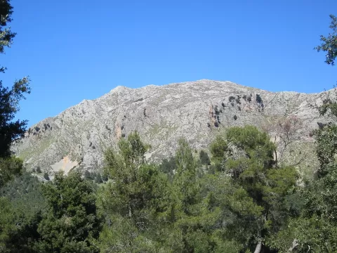 Puig Tomir
Escorca (Balearic Islands)
1,103-metre limestone mountain in the Tramuntana, near Lluc, with chained passages and views of the bays of Pollença and Alcúdia.
-
12
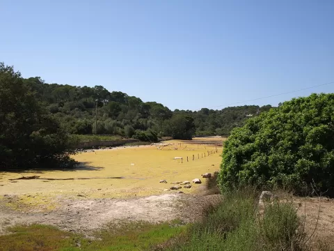 Mondragó Natural Park
Santanyí (Balearic Islands)
Protected area in south-eastern Mallorca with sandy coves, ponds by the sea and garrigue of wild olive, juniper and pine.
-
13
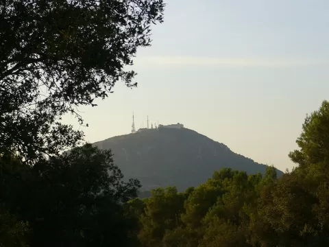 Monte Toro
Es Mercadal (Balearic Islands)
At 358 metres, the roof of Menorca, crowned by the whitewashed sanctuary of the Virgen del Toro and with views over the whole island.
-
14
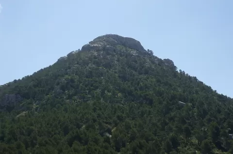 El Ofre
Escorca (Balearic Islands)
A 1,093-metre summit of the Serra de Tramuntana shaped like an almost perfect pyramid, above the Cúber reservoir and topped by a cross.
-
15
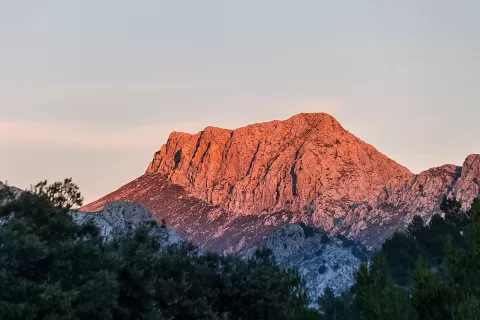 Penyal des Migdia
Fornalutx (Balearic Islands)
The 1,398-metre southern spur of Puig Major and the highest summit in Mallorca you can climb without military permission.
-
16
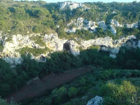 Canyon of Algendar
Ferreries (Balearic Islands)
A ravine with limestone walls up to 80 metres high running through southern Menorca between Ferreries and Ciutadella down to Cala Galdana.
-
17
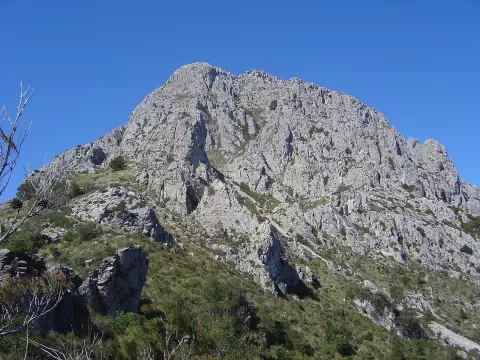 Pico de Galazón
Puigpunyent (Balearic Islands)
1,027-metre summit of the Serra de Tramuntana, between Puigpunyent, Estellencs and Calvià, one of the best viewpoints in Mallorca.
-
18
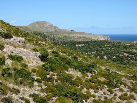 Sa Península de Llevant Natural Park
Artà (Balearic Islands)
Natural park in north-east Mallorca, from Cap de Ferrutx to Punta de n'Amer, with dwarf-palm hills, a hermitage and watchtowers.
-
19
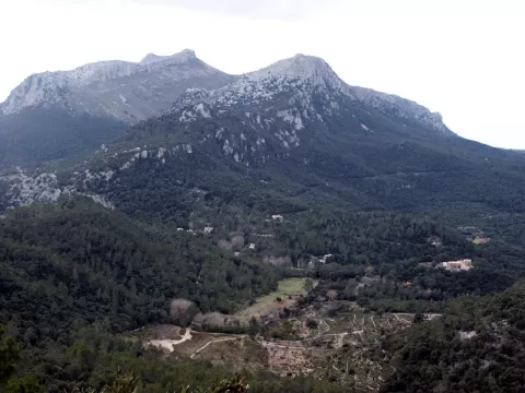 Puig d'en Galileu
Escorca (Balearic Islands)
Summit of about 1,180 metres in the Serra de Tramuntana, north of Massanella, with views of the bays of Pollença and Alcúdia.
-
20
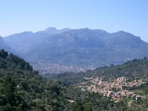 Puig del Teix
Deià (Balearic Islands)
1,064-metre summit of the Tramuntana range above Deià and Valldemossa, with a silhouette recognisable from Palma.
-
21
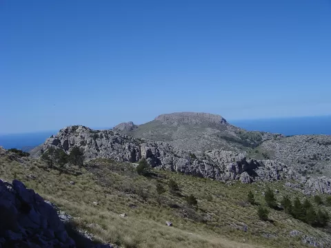 Mola de s'Esclop
Andratx (Balearic Islands)
926-metre peak in the Serra de Tramuntana, between Andratx, Calvià and Estellencs, with views of Sa Dragonera and the Bay of Palma.
-
22
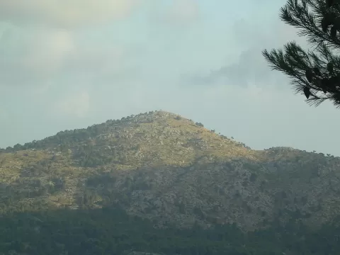 Sa Comuna
Fornalutx (Balearic Islands)
819-metre mountain in the Serra de Tramuntana shared by Sóller and Fornalutx, thickly wooded and usually snowed on twice a year.
-
23
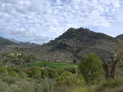 Puig de San Miguel
Alaró (Balearic Islands)
-
24
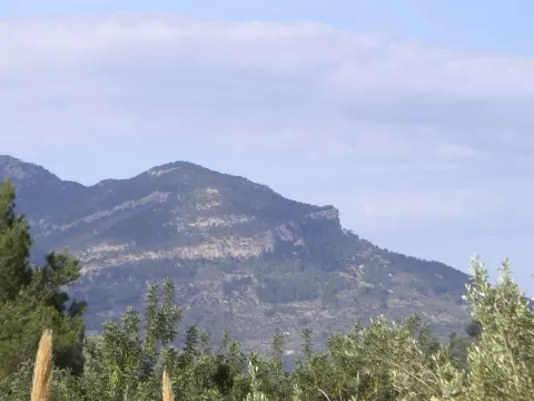 Puig des Moro
Sóller (Balearic Islands)
-
25
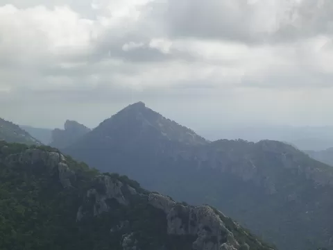 Puig de n'Alí
Selva (Balearic Islands)
-
26
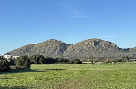 Puig de San Martín
Alcúdia (Balearic Islands)
Limestone hill south-west of Alcúdia hiding at its foot a cave sanctuary with two medieval underground chapels.
-
27
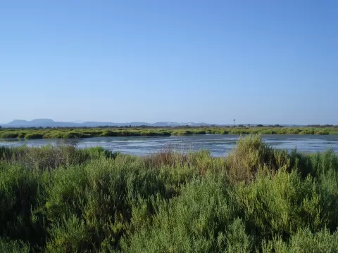 Es Trenc-Salobrar de Campos Natural park
Campos (Balearic Islands)
-
28
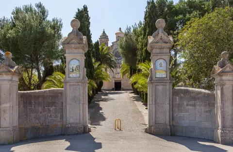 Puig de Bonany
Petra (Balearic Islands)
-
29
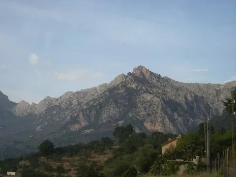 Sierra de Son Torrella
Fornalutx (Balearic Islands)
-
30
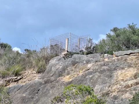 Serres de Llevant
Balearic Islands
And 3 more on the map.
Frequently asked questions
Which hiking trails in the Balearic Islands are most worth visiting?
According to fotoMap's score, it's Cabrera National Park (Palma de Mallorca (Balearic Islands)): An archipelago south of Mallorca with one of the best-preserved coastlines in the Mediterranean, a castle by the harbour and its lighthouse. Followed by Puig Mayor and S'Albufera des Grau Natural Park.
What's the best time to take photos in the Balearic Islands?
Golden hour, with low, warm light: today, 21 November, 7:39 – 8:39 in the morning and 16:29 – 17:29 in the evening. For a deep blue sky, blue hour: 7:10 – 7:39 in the morning and 17:29 – 17:58 in the evening. Each place shows the times for its exact location.