 See all 6 photos
Upload your photo
Sa Península de Llevant Natural Park
No reviews yet
Do you like this place? Be the first to vote
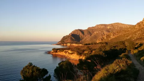
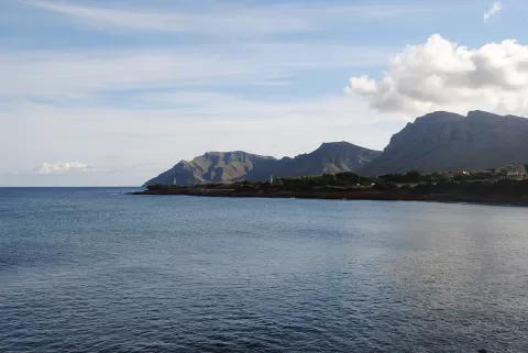
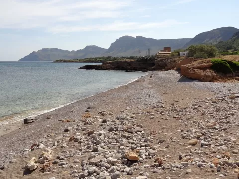
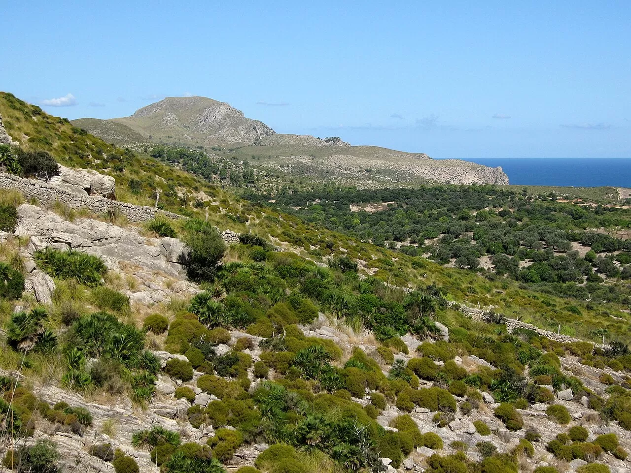
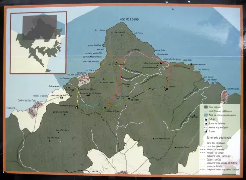
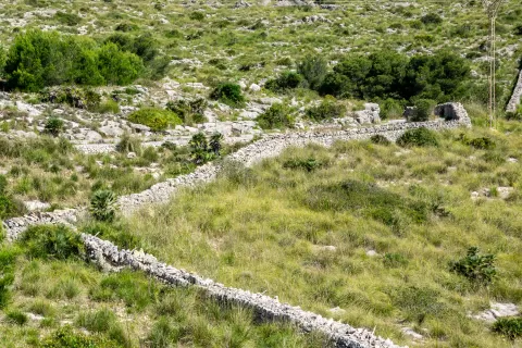
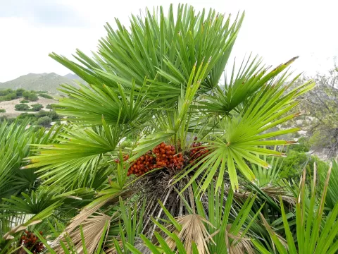
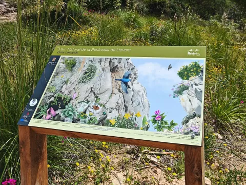
The Península de Llevant Natural Park covers the north-east of Mallorca, between Cap de Ferrutx and Punta de n'Amer, mainly in Artà, Capdepera and Son Servera. It was created in 2001 with 1,586 hectares and in 2023 was enlarged to some 17,200 hectares of land and 5,275 of sea. It is a special protection area for birds, with Eleonora's falcon and Audouin's gull. Where fire did not reach, holm oak woods remain; the rest is reed grass and dwarf fan palm.
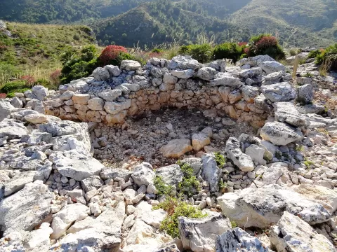
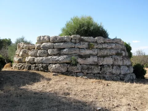
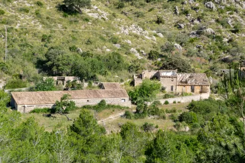
The hermitage of Betlem, founded in 1805, can be reached by a mountain road from Artà or, better, by the footpath that starts from the Betlem housing estate. The Talaia de Moreia, a 16th-century coastal watchtower, has no road access and calls for experience.
The watchtowers above the palm-covered ridges, with the sea below, are the subject. On this eastern coast the morning light comes in from the sea.
What Sa Península de Llevant Natural Park has to offer
More hiking trails in the Balearic Islands
Best time to photograph Sa Península de Llevant Natural Park today, 22 November
- Sunrise7:39 – 8:39golden hour
- Sunset16:26 – 17:26golden hour
- Blue hour17:26 – 17:55at dusk
Golden hour gives the most beautiful light: warm, soft and with long shadows.
Hashtags for your photos of Sa Península de Llevant Natural Park
Upload your photo with #fotoMap and help more people discover this spot. The one with the most votes becomes the cover photo.
Reviews of Sa Península de Llevant Natural Park
Nobody has said what it's like yet. Have you been? Be the first to tell us.
Write a review