 See all 6 photos
Upload your photo
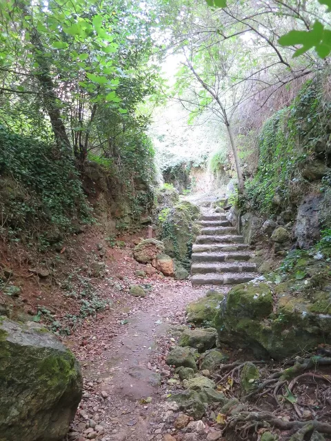
Canyon of Algendar
No reviews yet
Do you like this place? Be the first to vote
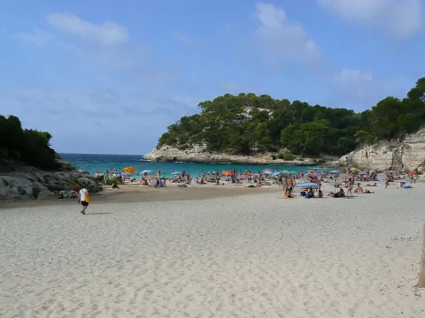
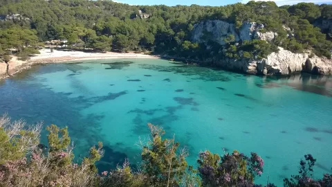
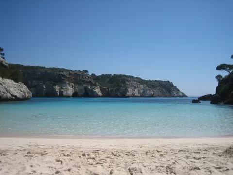
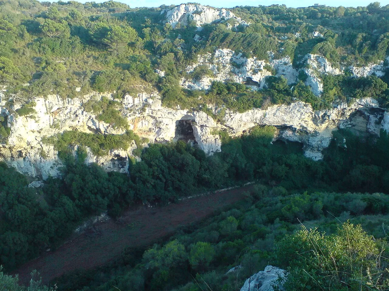
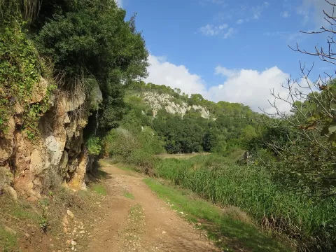
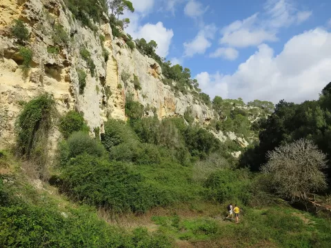
The Barranc d'Algendar (Algendar gorge) marks the boundary between Ferreries and Ciutadella. According to the Balearic government's geological record, it runs for about 8.5 kilometres from the Puig de Santa Magdalena to Cala Galdana, cut into the Miocene limestone platform, with cliffs up to 80 metres high. Along the bottom runs the Algendar stream among pines, holm oaks and junipers, and much of it is protected as an Area of Special Natural Interest.
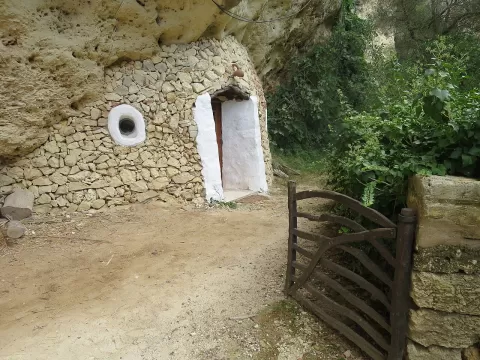
You enter along the Camí Reial: from Ferreries it is 3.5 kilometres on foot to the gorge, or you can drive to Es Canaló, where there is a car park. Many of the estates on the floor of the gorge are private, especially those near Cala Galdana.
The walls are high and the floor stays in shade for much of the day: the best light comes in around the middle of the day. In spring the green of the stream bed contrasts with the pale rock.
What Canyon of Algendar has to offer
More rivers and lakes in the Balearic Islands More caves and rock formations in the Balearic Islands More hiking trails in the Balearic Islands
Best time to photograph Canyon of Algendar today, 21 November
- Sunrise7:35 – 8:35golden hour
- Sunset16:24 – 17:24golden hour
- Blue hour17:24 – 17:53at dusk
The still water early in the morning gives you perfect reflections.
Hashtags for your photos of Canyon of Algendar
Upload your photo with #fotoMap and help more people discover this spot. The one with the most votes becomes the cover photo.
Reviews of Canyon of Algendar
Nobody has said what it's like yet. Have you been? Be the first to tell us.
Write a review