Hiking trails in A Coruña
30 places of this kind in A Coruña, ranked by their fotoMap score: what people who've been there like most, with recent votes counting more.
Updated on
-
1
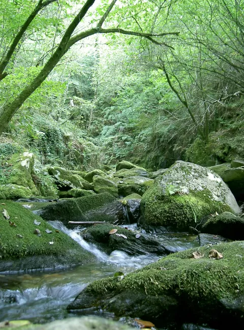 Fragas do Eume Natural Park
Cabanas (A Coruña)
One of Europe's finest Atlantic forests, along the banks of the River Eume, with the monastery of Caaveiro hidden in the woods.
-
2
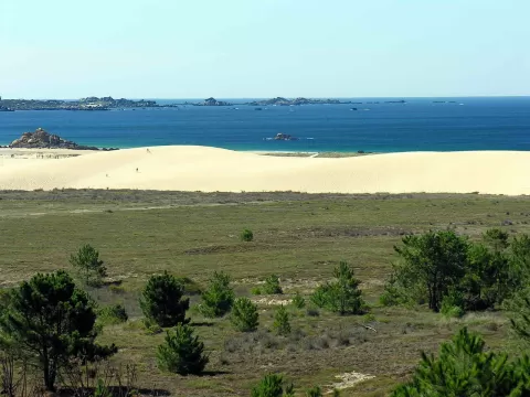 Dunas de Corrubedo and Lagoas de Carregal e Vixán Natural Park
Ribeira (A Coruña)
Galicia's largest moving dune, over a kilometre long, between A Ladeira and O Vilar beaches and two lagoons, one fresh and one salt.
-
3
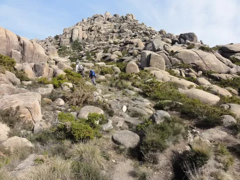 Mount Pindo
Carnota (A Coruña)
A 627-metre granite massif rising almost straight from the sea at Carnota, strewn with boulders, with views of Fisterra.
-
4
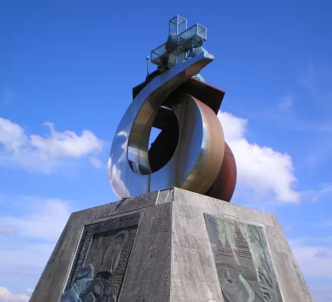 Monte do Gozo
Santiago de Compostela (A Coruña)
The last hill of the Camino Francés, at 370 metres, from which pilgrims see the cathedral towers for the first time.
-
5
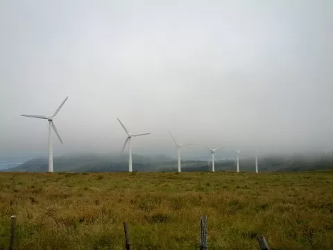 Capelada
A Coruña
Coastal range in northern A Coruña whose Herbeira cliffs drop over 600 metres to the Atlantic, among the highest in Europe.
-
6
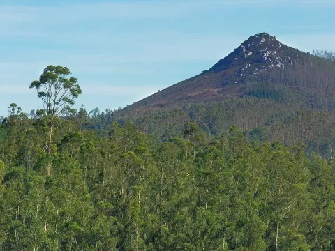 Pico Sacro
Boqueixón (A Coruña)
A pointed 533-metre quartz peak above the Ulla valley, linked to the legend of the translation of the Apostle St James.
-
7
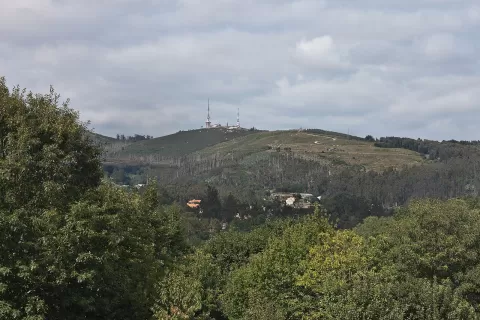 Monte Pedroso
Santiago de Compostela (A Coruña)
A 461-metre hill about 3 km from central Santiago, with viewpoints over the whole city and petroglyphs near the summit.
-
8
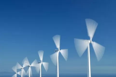 Sierra del Barbanza
A Coruña
-
9
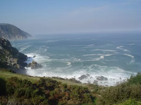 Costa Ártabra
Ares (A Coruña)
-
10
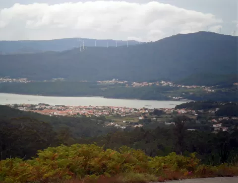 Tremuzo
A Coruña
A mountain of some 530 metres in Outes, the highest in the municipality, with a viewpoint over the Muros e Noia estuary and the mouth of the Tambre.
-
11
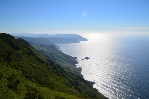 Acantilados de Vixía de Herbeira
Cariño (A Coruña)
-
12
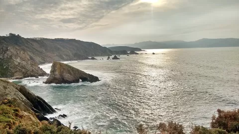 Acantilados de Loiba
A Coruña
Cliffs of 80 to 160 metres in Ortigueira, with beaches covered by the tide, sea caves and a famous bench on the edge.
-
13
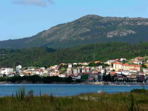 La Curota
Ribeira (A Coruña)
Barbanza viewpoint at 512 metres looking over the Rías Baixas, from Fisterra to Santa Tecla and the Atlantic Islands.
-
14
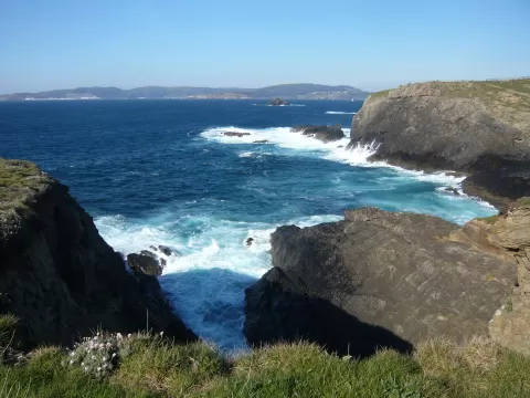 Costa de Dexo
Oleiros (A Coruña)
-
15
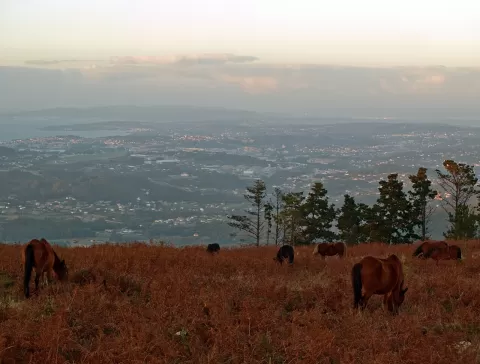 Monte Xalo
A Coruña
514-metre hill between Culleredo, Carral, Cerceda and A Laracha, with views from O Petón as far as the Tower of Hercules.
-
16
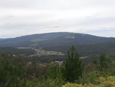 Iroite
A Coruña
-
17
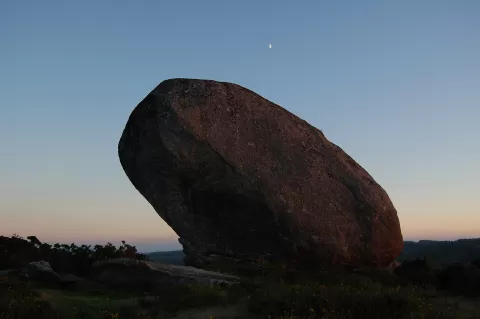 Montes de Bocelo
Boimorto (A Coruña)
-
18
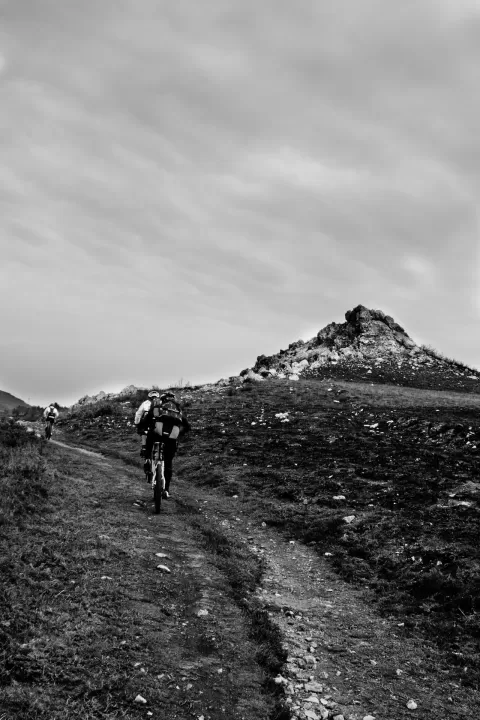 Sierra del Careón
A Coruña
-
19
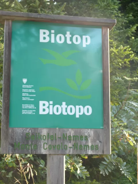 Monte Neme
Carballo (A Coruña)
-
20
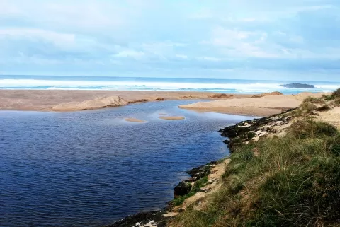 Laguna y arenal de Valdoviño
Valdoviño (A Coruña)
-
21
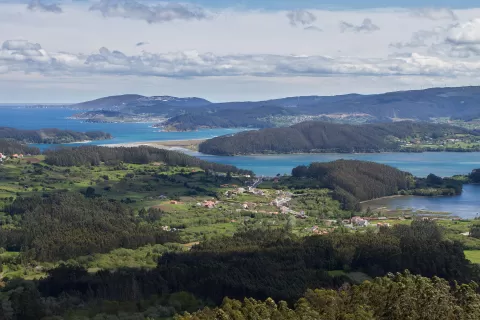 Ortigueira - Mera
Cariño (A Coruña)
-
22
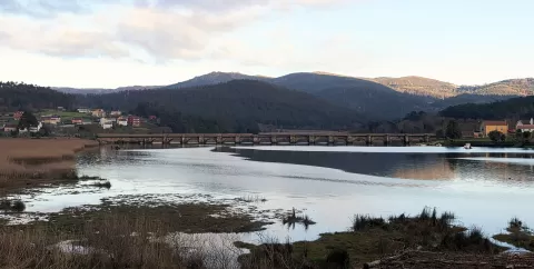 Esteiro do Tambre
Brión (A Coruña)
-
23
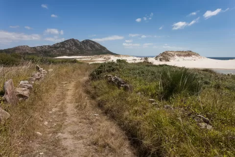 Monte e lagoa de Louro
Carnota (A Coruña)
-
24
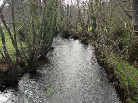 Xubia - Castro
A Capela (A Coruña)
-
25
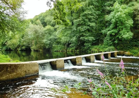 Río Tambre
Tordoia (A Coruña)
-
26
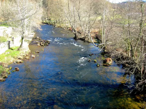 Betanzos-Mandeo
Aranga (A Coruña)
-
27
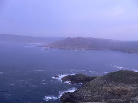 Costa da Morte
Arteixo (A Coruña)
-
28
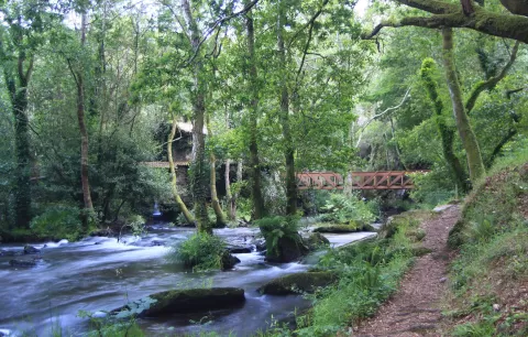 Río Anllóns
Cabana de Bergantiños (A Coruña)
-
29
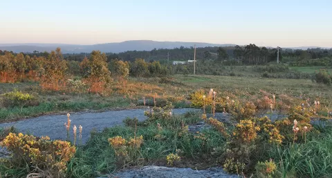 La Zapateira
A Coruña
-
30
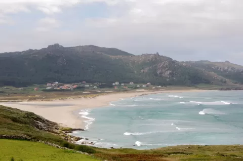 Penedos de Pasarela e Traba
Laxe (A Coruña)
Frequently asked questions
Which hiking trails in A Coruña are most worth visiting?
According to fotoMap's score, it's Fragas do Eume Natural Park (Cabanas (A Coruña)): One of Europe's finest Atlantic forests, along the banks of the River Eume, with the monastery of Caaveiro hidden in the woods. Followed by Dunas de Corrubedo and Lagoas de Carregal e Vixán Natural Park and Mount Pindo.
What's the best time to take photos in A Coruña?
Golden hour, with low, warm light: today, 21 November, 8:34 – 9:34 in the morning and 17:05 – 18:05 in the evening. For a deep blue sky, blue hour: 8:03 – 8:34 in the morning and 18:05 – 18:36 in the evening. Each place shows the times for its exact location.