 See all 6 photos
Upload your photo

Monte Xalo
No reviews yet
Do you like this place? Be the first to vote
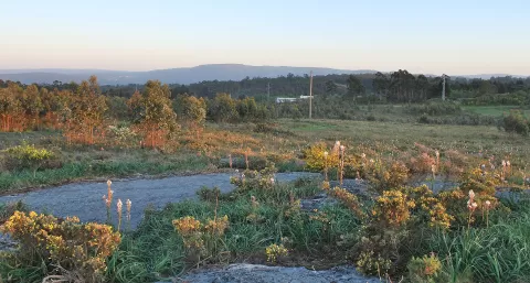
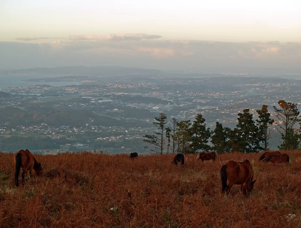
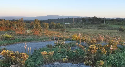
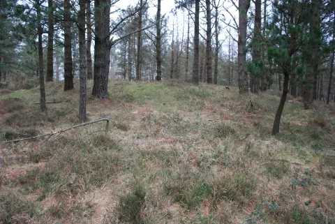
Monte Xalo reaches 514 metres and is one of the highest areas on the A Coruña coast. It stretches about 3 km from east to west between Carral and A Laracha, along the boundary with Culleredo and Cerceda. On the summit there are radio, television and phone masts.
It has several waymarked hiking routes, and its forest tracks are used for mountain biking and races. The rocks of O Petón are equipped for climbing.
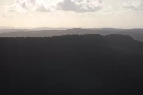
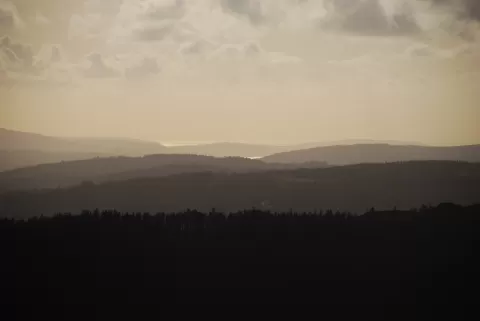
O Petón is the panoramic spot: from its rocks you can see the outer port of A Coruña, Alvedro airport, the Tower of Hercules and the Veiga valley at its foot. A clear day gives the longest view.
What Monte Xalo has to offer
More viewpoints in A Coruña More hiking trails in A Coruña
Best time to photograph Monte Xalo today, 21 November
- Sunrise8:34 – 9:34golden hour
- Sunset17:04 – 18:04golden hour
- Blue hour18:04 – 18:35at dusk
At sunrise and sunset, low-angled light brings out the landscape's texture. Arrive 20 minutes early to get a good spot.
Hashtags for your photos of Monte Xalo
Upload your photo with #fotoMap and help more people discover this spot. The one with the most votes becomes the cover photo.
Reviews of Monte Xalo
Nobody has said what it's like yet. Have you been? Be the first to tell us.
Write a review