Hiking trails in Palencia
16 places of this kind in Palencia, ranked by their fotoMap score: what people who've been there like most, with recent votes counting more.
Updated on
-
1
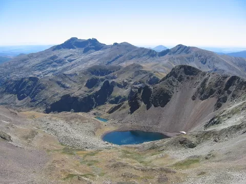 Montaña Palentina Natural Park
Palencia
78,000-hectare natural park in northern Palencia, with the peaks of Curavacas and Espigüete and the source of the Pisuerga.
-
2
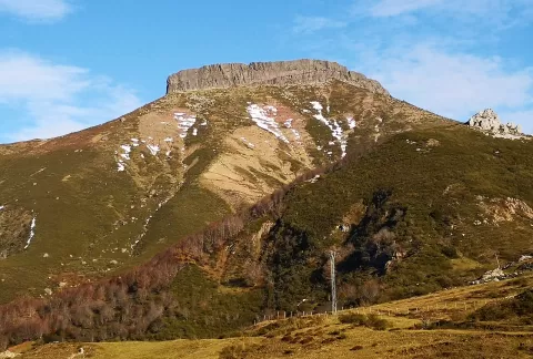 Peña Labra
Palencia
A 2,018-metre summit on the divide between Cantabria and Palencia, in the Sierra de Híjar, between the Piedrasluengas pass and Alto Campoo.
-
3
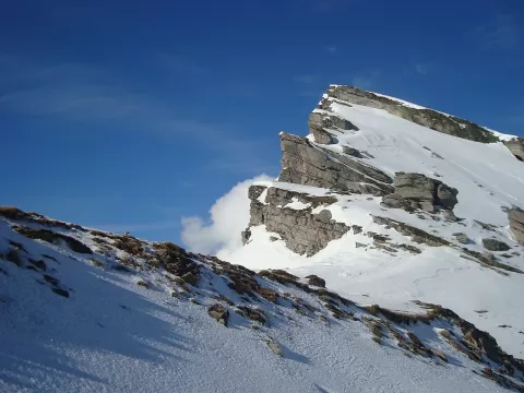 Pico Tres Mares
Palencia
A 2,171-metre summit between Cantabria and Palencia whose waters flow to three seas: the Cantabrian, the Mediterranean and the Atlantic.
-
4
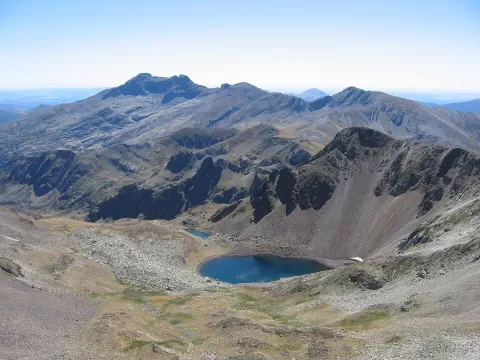 Fuentes Carrionas
Palencia
-
5
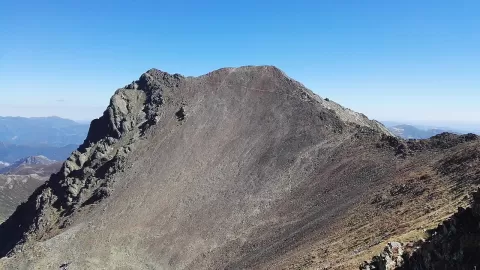 Peña Prieta
Palencia
At 2,540 metres, the highest summit of the Fuentes Carrionas massif, near the point where Palencia, León and Cantabria meet.
-
6
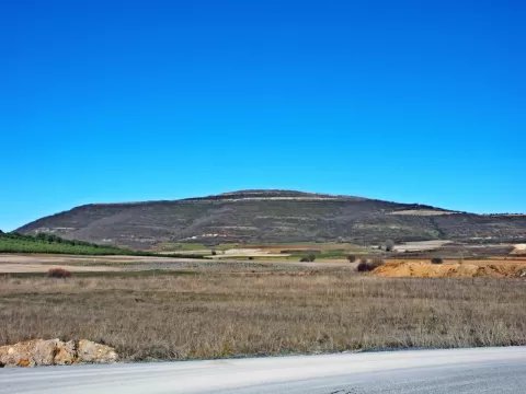 Monte Bernorio mountain
Pomar de Valdivia (Palencia)
1,170-metre flat-topped hill in Pomar de Valdivia holding a large Cantabrian oppidum besieged by the legions of Rome.
-
7
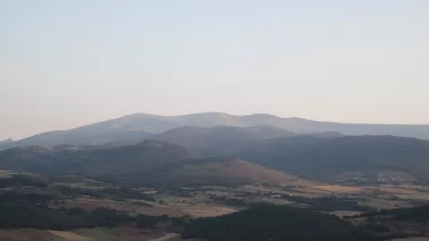 Valdecebollas
Palencia
-
8
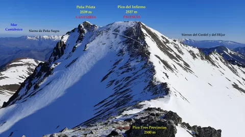 Pico del Infierno
Cervera de Pisuerga (Palencia)
-
9
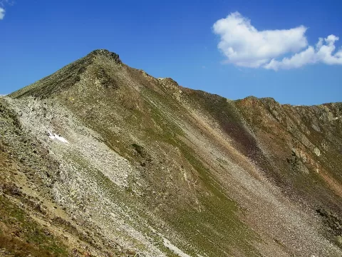 Tres Provincias peak
Palencia
-
10
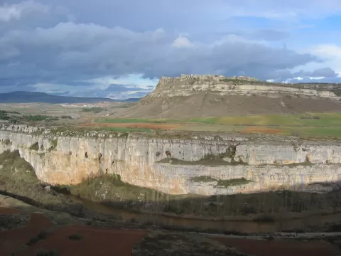 Cañón de la Horadada
Pomar de Valdivia (Palencia)
-
11
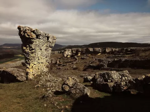 Las Tuerces
Palencia
-
12
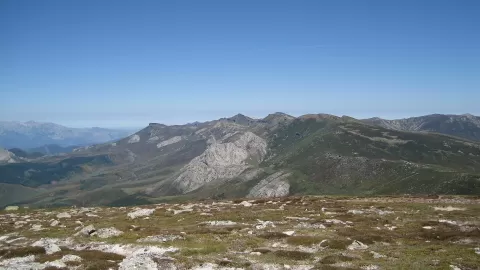 Sierra de Híjar
Palencia
-
13
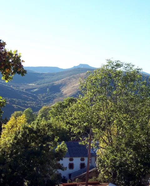 Cuchillón
Palencia
-
14
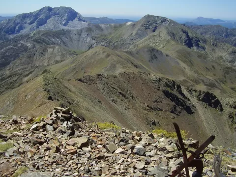 Pico Murcia
Palencia
-
15
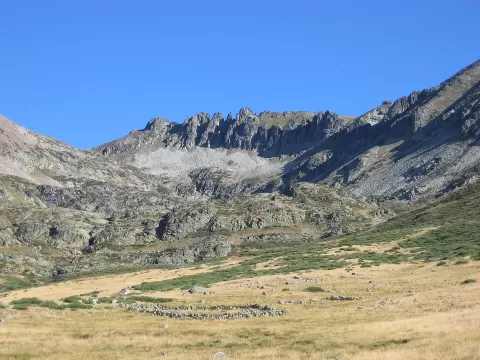 Agujas de Cardaño
Velilla del Río Carrión (Palencia)
-
16
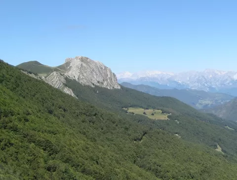 Peña Brez
Palencia
Frequently asked questions
Which hiking trails in Palencia are most worth visiting?
According to fotoMap's score, it's Montaña Palentina Natural Park (Palencia): 78,000-hectare natural park in northern Palencia, with the peaks of Curavacas and Espigüete and the source of the Pisuerga. Followed by Peña Labra and Pico Tres Mares.
What's the best time to take photos in Palencia?
Golden hour, with low, warm light: today, 21 November, 8:16 – 9:16 in the morning and 16:51 – 17:51 in the evening. For a deep blue sky, blue hour: 7:45 – 8:16 in the morning and 17:51 – 18:22 in the evening. Each place shows the times for its exact location.