Hiking trails in La Palma
17 places of this kind in La Palma, ranked by their fotoMap score: what people who've been there like most, with recent votes counting more.
Updated on
-
1
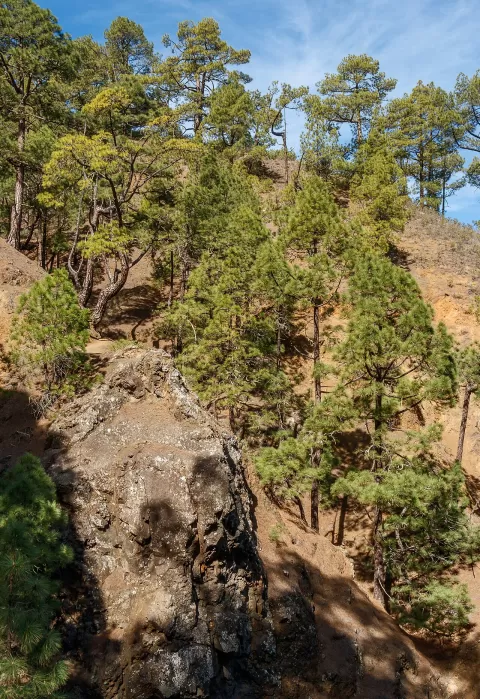 Caldera de Taburiente National Park
Santa Cruz de Tenerife
A huge caldera in the centre of La Palma, ringed by ridges that climb to the 2,426 metres of Roque de los Muchachos.
-
2
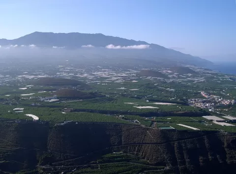 Cumbre Vieja
Santa Cruz de Tenerife
The volcanic ridge forming the southern half of La Palma, dotted with craters and cones, where the 2021 volcano opened.
-
3
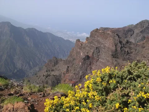 Roque de los Muchachos
Santa Cruz de Tenerife
The highest point on La Palma, over 2,400 metres above the Caldera de Taburiente, next to one of the world's great observatories.
-
4
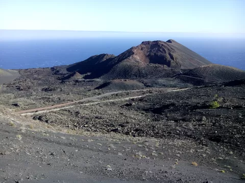 Teneguía
Santa Cruz de Tenerife
A cinder cone at the southern tip of La Palma, born in the 1971 eruption, which lasted only 24 days.
-
5
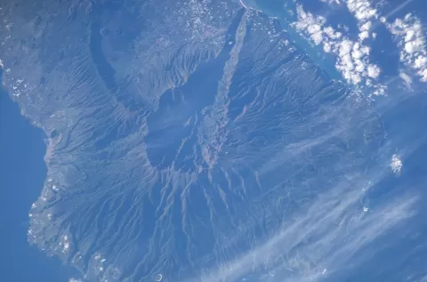 Caldera de Taburiente
Santa Cruz de Tenerife
-
6
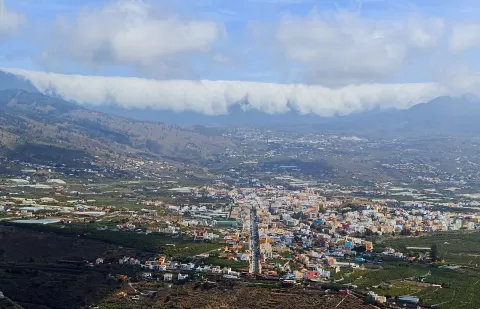 Cumbre Nueva
Santa Cruz de Tenerife
A volcanic ridge in central La Palma over which the trade winds spill the sea of clouds in a cascade towards the Aridane valley.
-
7
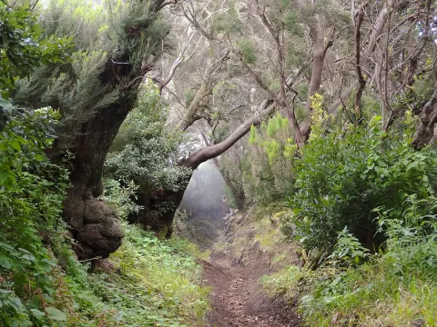 Cumbre Vieja Natural Park
Santa Cruz de Tenerife
A volcanic ridge in southern La Palma, with the island's youngest cones, Canary pine forest and the Ruta de los Volcanes trail.
-
8
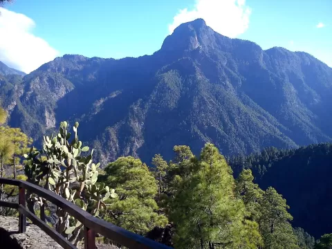 Bejenao
El Paso (Santa Cruz de Tenerife)
A volcanic mountain of some 1,850 metres on the southern rim of the Caldera de Taburiente, with views over the caldera and the Aridane valley.
-
9
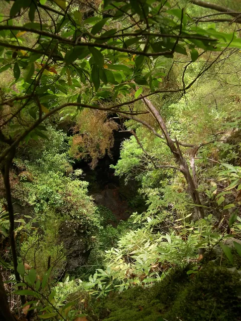 Las Nieves Natural Park
Puntallana (Santa Cruz de Tenerife)
Natural park in north-east La Palma with one of the best-preserved laurel forests in the Canary Islands, sheer ravines and springs.
-
10
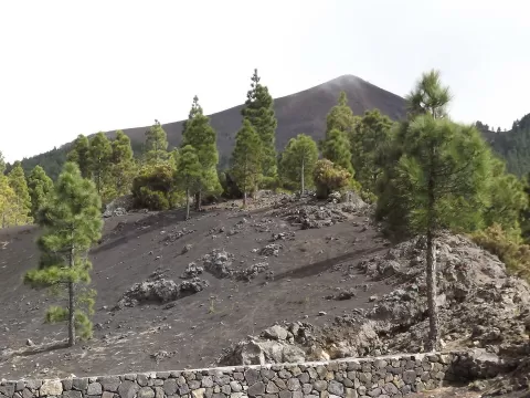 Pico Birigoyo
Santa Cruz de Tenerife
Summit at the northern end of Cumbre Vieja, on La Palma, a viewpoint over the Aridane valley, the Cumbre Nueva and the Bejenado volcano.
-
11
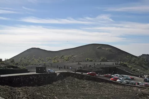 Volcán de Fuencaliente
Fuencaliente de La Palma (Santa Cruz de Tenerife)
The San Antonio volcano, a cone in the south of La Palma whose 1677 eruption covered the tip of the island in lava.
-
12
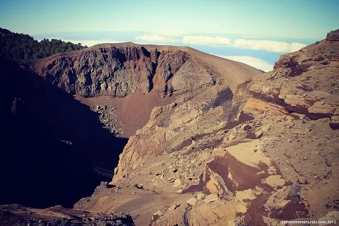 Volcán de San Juan
Santa Cruz de Tenerife
-
13
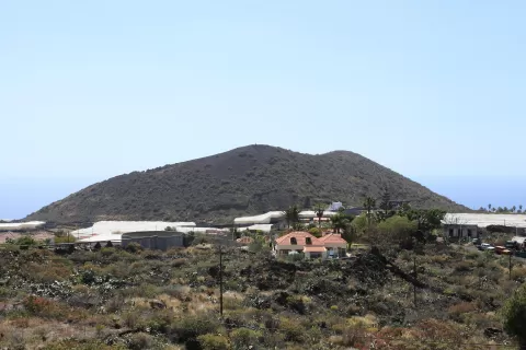 Montaña de Todoque
Tazacorte (Santa Cruz de Tenerife)
-
14
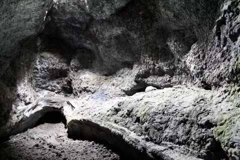 Cueva de Las Palomas
Santa Cruz de Tenerife
-
15
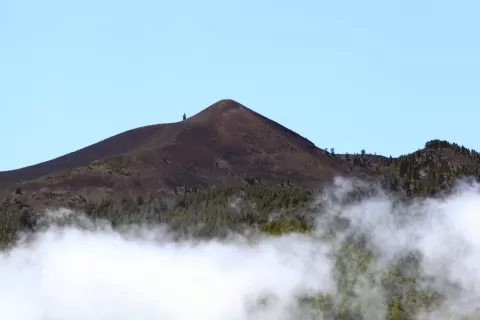 Montaña Quemada
Santa Cruz de Tenerife
-
16
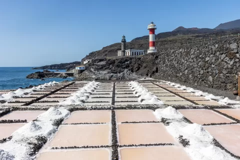 Salinas de fuencaliente
Fuencaliente de La Palma (Santa Cruz de Tenerife)
-
17
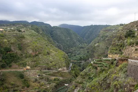 Barranco del Agua (San Andrés y Sauces)
San Andrés y Sauces (Santa Cruz de Tenerife)
Frequently asked questions
Which hiking trails in La Palma are most worth visiting?
According to fotoMap's score, it's Caldera de Taburiente National Park (Santa Cruz de Tenerife): A huge caldera in the centre of La Palma, ringed by ridges that climb to the 2,426 metres of Roque de los Muchachos. Followed by Cumbre Vieja and Roque de los Muchachos.
What's the best time to take photos in La Palma?
Golden hour, with low, warm light: today, 21 November, 7:38 – 8:38 in the morning and 17:15 – 18:15 in the evening. For a deep blue sky, blue hour: 7:13 – 7:38 in the morning and 18:15 – 18:40 in the evening. Each place shows the times for its exact location.