Hiking trails in Fuerteventura
7 places of this kind in Fuerteventura, ranked by their fotoMap score: what people who've been there like most, with recent votes counting more.
Updated on
-
1
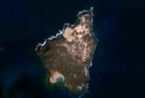 Lobos Island
La Oliva (Las Palmas)
-
2
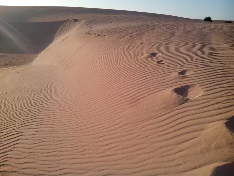 Corralejo Natural Park
La Oliva (Las Palmas)
The largest dune field in the Canary Islands: white shell sand between Corralejo and Montaña Roja, facing Lobos island.
-
3
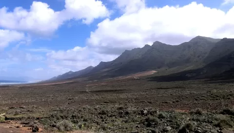 Pico de la Zarza
Las Palmas
The roof of Fuerteventura, 807 metres above the Jandía peninsula, with the wild Cofete coast at the foot of its north face.
-
4
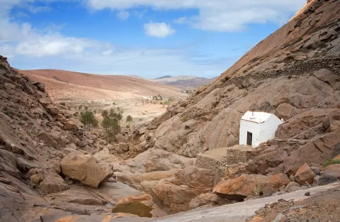 Barranco de las Peñitas
Las Palmas
-
5
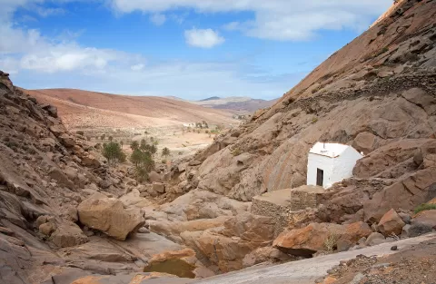 Parque rural de Betancuria
Las Palmas
-
6
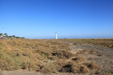 Saladar de Jandía
Pájara (Las Palmas)
-
7
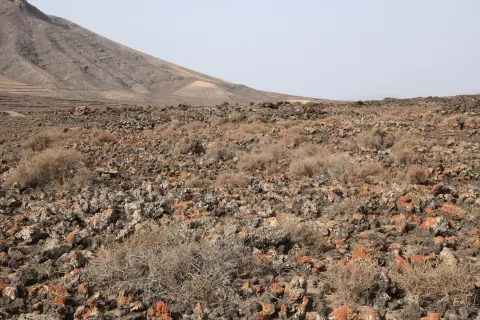 Pozo Negro
Las Palmas
Frequently asked questions
Which hiking trails in Fuerteventura are most worth visiting?
According to fotoMap's score, it's Lobos Island (La Oliva (Las Palmas)). Followed by Corralejo Natural Park and Pico de la Zarza.
What's the best time to take photos in Fuerteventura?
Golden hour, with low, warm light: today, 21 November, 7:23 – 8:23 in the morning and 17:00 – 18:00 in the evening. For a deep blue sky, blue hour: 6:58 – 7:23 in the morning and 18:00 – 18:25 in the evening. Each place shows the times for its exact location.