 See all 6 photos
Upload your photo
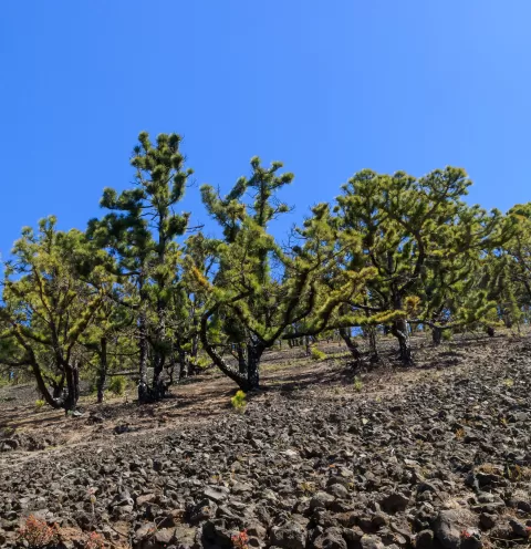
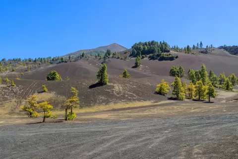
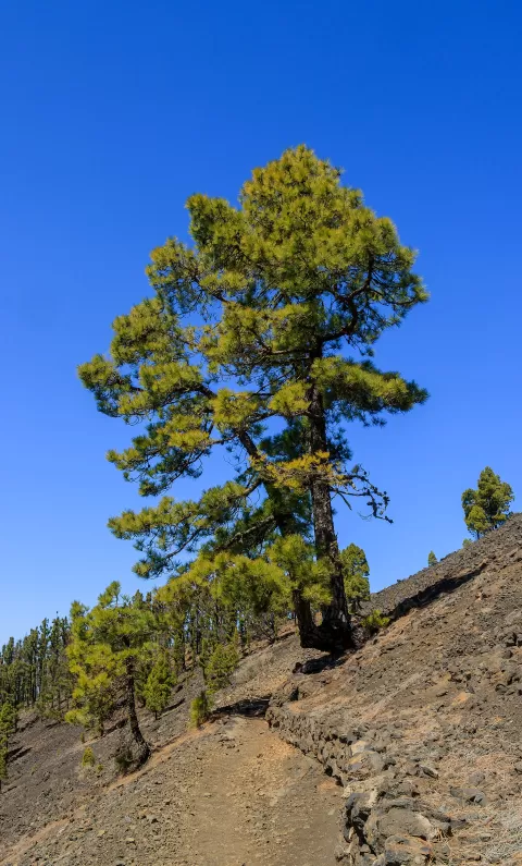
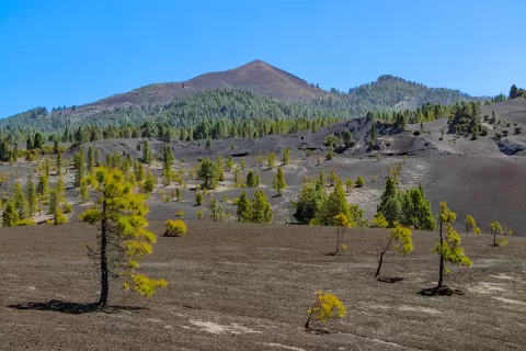
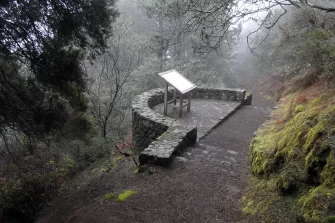
Pico Birigoyo
No reviews yet
Do you like this place? Be the first to vote
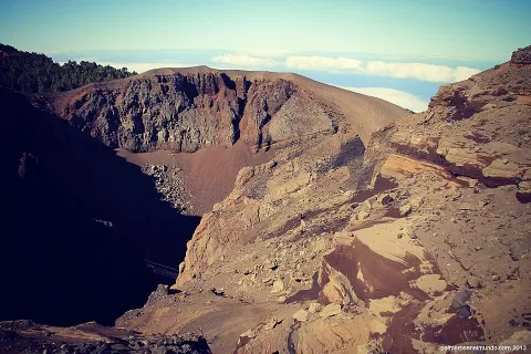
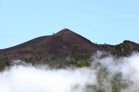
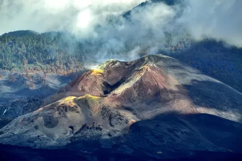
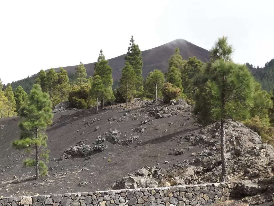
Birigoyo is one of the peaks of Cumbre Vieja, the volcanic ridge in the south of La Palma, in the province of Santa Cruz de Tenerife. It is on the northern stretch of the Ruta de los Volcanes, the trail that runs along that ridge for 17.5 km with 1,207 metres of ascent, between the Refugio de El Pilar and Fuencaliente.
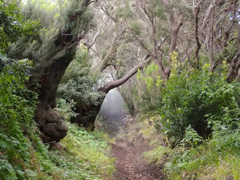
The route starts at the Refugio de El Pilar, a clearing on the ridge with an information centre, and at first crosses Canary pine forest. A circular route of about 12 km and 510 metres of ascent climbs Birigoyo from there and returns to the refuge.
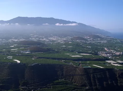
From the top you can see the Los Llanos de Aridane valley, created by a huge landslide, and opposite the arc of Cumbre Nueva and the Bejenado volcano, which closes off the Caldera de Taburiente. In the morning the sun is behind you and lights the valley head-on.
What Pico Birigoyo has to offer
More viewpoints in Santa Cruz de Tenerife More caves and rock formations in Santa Cruz de Tenerife More hiking trails in Santa Cruz de Tenerife
Best time to photograph Pico Birigoyo today, 21 November
- Sunrise7:38 – 8:38golden hour
- Sunset17:15 – 18:15golden hour
- Blue hour18:15 – 18:40at dusk
At sunrise and sunset, low-angled light brings out the landscape's texture. Arrive 20 minutes early to get a good spot.
Hashtags for your photos of Pico Birigoyo
Upload your photo with #fotoMap and help more people discover this spot. The one with the most votes becomes the cover photo.
Reviews of Pico Birigoyo
Nobody has said what it's like yet. Have you been? Be the first to tell us.
Write a review