 See all 6 photos
Upload your photo
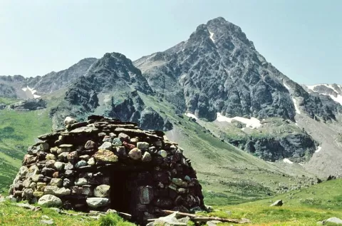
Peña Prieta
No reviews yet
Do you like this place? Be the first to vote
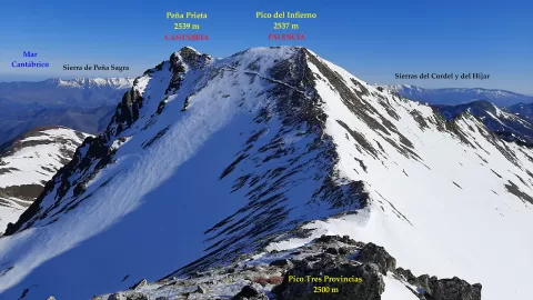
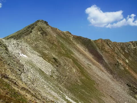
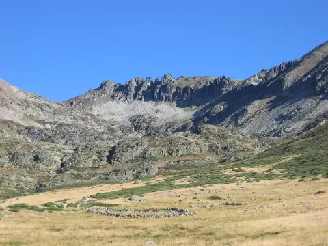
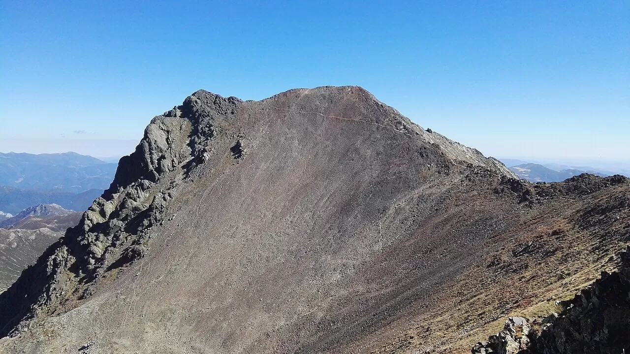
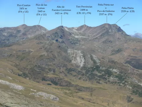
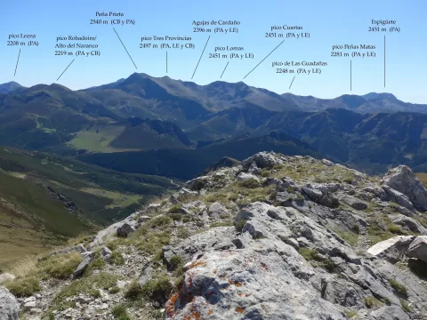
Peña Prieta, at 2,540 metres, is the highest point of the Fuentes Carrionas massif and the highest peak in the Cantabrian Mountains if the Picos de Europa are not counted. The summit lies in Vega de Liébana, on the watershed between Cantabria and Palencia. Very close by, at about 2,495 metres, the Mojón de Tres Provincias marks the point where León, Cantabria and Palencia meet.
The easiest route starts from Cardaño de Arriba, in Palencia. Another sets off from Llánaves de la Reina, in León, via the San Glorio pass and the Cubil del Can col. It is a high-mountain ascent.
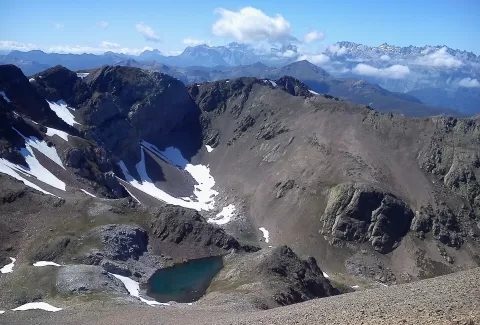
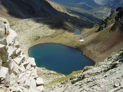
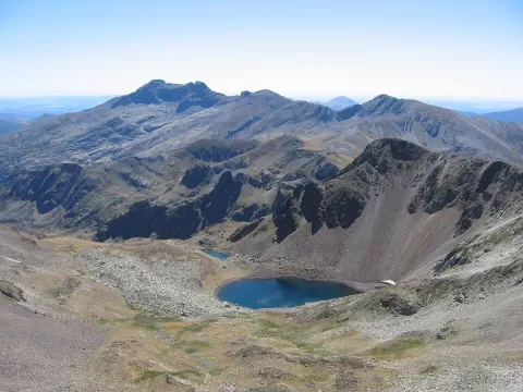
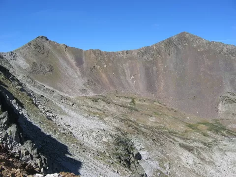
The Fuentes Carrionas lake, in a glacial cirque, gives the foreground with the dark mass of the peak behind. Early in the morning the light comes into the cirque from the side, and from the Mojón de Tres Provincias the view opens over the whole massif.
What Peña Prieta has to offer
More viewpoints in Palencia More hiking trails in Palencia
Best time to photograph Peña Prieta today, 21 November
- Sunrise8:18 – 9:18golden hour
- Sunset16:50 – 17:50golden hour
- Blue hour17:50 – 18:21at dusk
At sunrise and sunset, low-angled light brings out the landscape's texture. Arrive 20 minutes early to get a good spot.
Hashtags for your photos of Peña Prieta
Upload your photo with #fotoMap and help more people discover this spot. The one with the most votes becomes the cover photo.
Reviews of Peña Prieta
Nobody has said what it's like yet. Have you been? Be the first to tell us.
Write a review