Things to do in Normandy: the most beautiful places
Normandy has 156 places on fotoMap: 71 nature spots and 85 urban ones, including 75 monuments, 61 viewpoints, 43 hiking trails. Here are the most beautiful ones, ranked by their fotoMap score: what people who've been there like most, with recent votes counting more.
Updated on
-
1
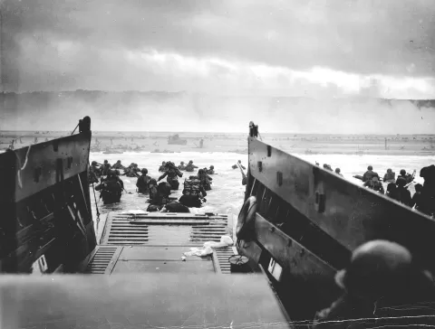 Omaha Beach
Calvados
A beach of about 8 km below cliffs 30 to 50 metres high, scene of the American landing on 6 June 1944.
-
2
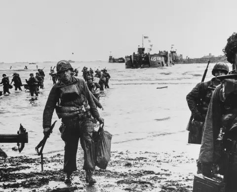 Utah Beach
Sainte-Marie-du-Mont (Manche)
The westernmost of the Normandy landing beaches, with a museum built where the troops came ashore in 1944.
-
3
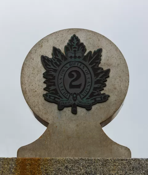 Juno Beach
Calvados
A Normandy landing sector taken by Canadian troops on 6 June 1944, with the Juno Beach Centre in Courseulles.
-
4
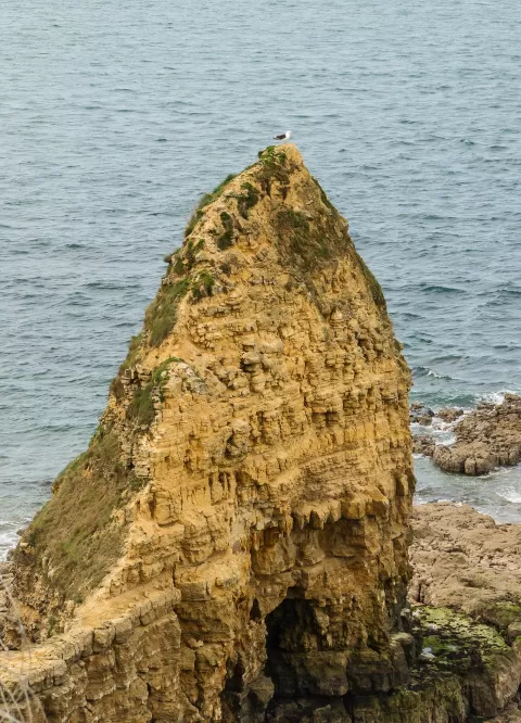 Pointe du Hoc
Cricqueville-en-Bessin (Calvados)
A 30-metre headland west of Omaha that the Rangers scaled on D-Day, still pitted with craters and bunkers.
-
5
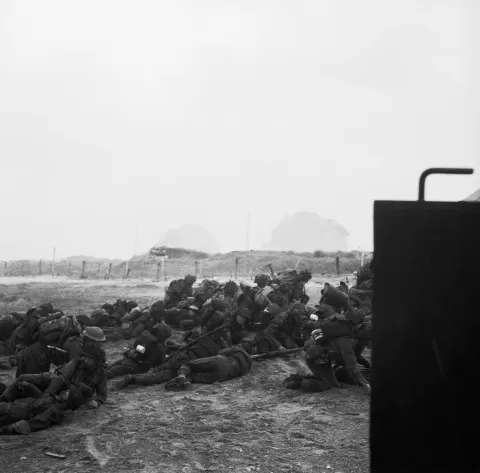 Sword Beach
Calvados
The easternmost of the Normandy landing beaches, about 8 km of sand between Ouistreham and Saint-Aubin-sur-Mer.
-
6
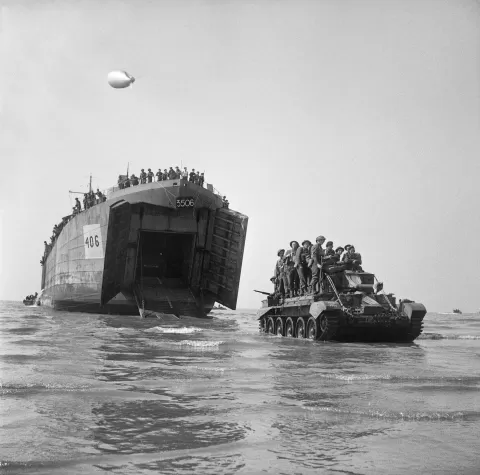 Gold Beach
Calvados
The British sector of the Normandy landings by Arromanches, where remains of the artificial harbour still lie in the sea.
-
7
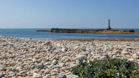 Cabo de la Hague
Manche
The north-western tip of the Cotentin, at Auderville, facing the Raz Blanchard, with the port of Goury and La Hague lighthouse out at sea.
-
8
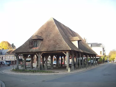 Lyons-la-Forêt
 (Eure)
A Norman village in the middle of the Lyons forest, with a 17th-century covered market, where Ravel composed and Renoir filmed.
-
9
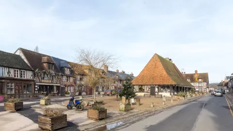 Beuvron-en-Auge
 (Calvados)
A Norman village in the Pays d'Auge with 17th- and 18th-century half-timbered houses around its covered market.
-
10
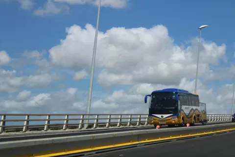 Pont de Normandie
Le Havre (Calvados)
A 2,143-metre cable-stayed bridge over the Seine estuary between Le Havre and Honfleur, a world record span when it opened in 1995.
-
11
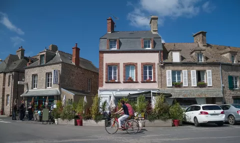 Barfleur
 (Manche)
A fishing port in the north of the Cotentin and the smallest municipality in the Manche, with grey granite houses and a church by the sea.
-
12
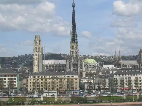 Rouen Cathedral
Ruan (Seine-Maritime)
A Gothic cathedral in Normandy whose cast-iron spire, 151 metres high, is the tallest of any cathedral in France.
-
13
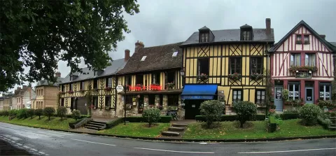 Le Bec-Hellouin
 (Eure)
A Norman village in the Bec valley, with half-timbered houses around the abbey founded by the knight Herluin around 1035.
-
14
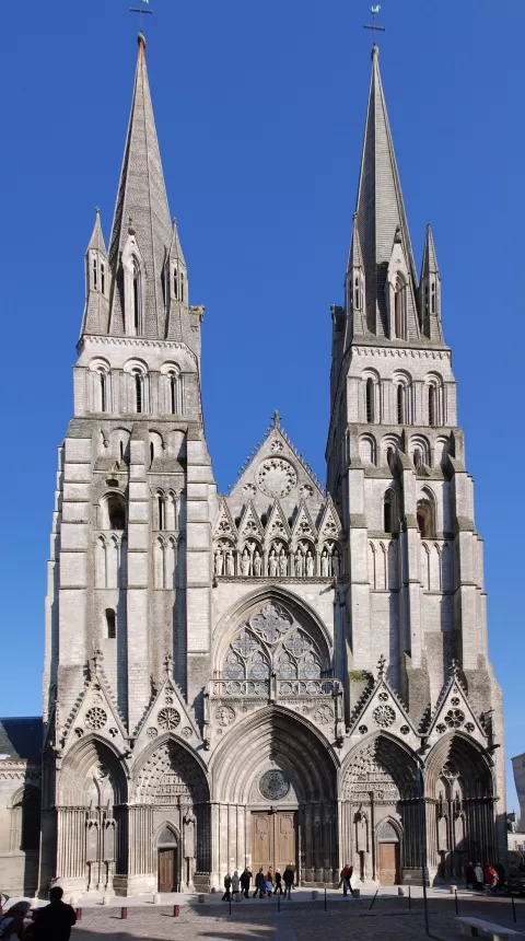 Bayeux Cathedral
Bayeux (Calvados)
-
15
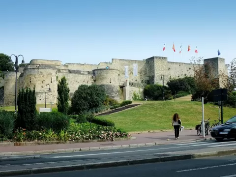 Castle of Caen
Caen (Calvados)
-
16
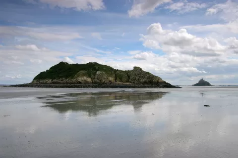 Tombelaine
Genêts (Manche)
-
17
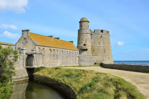 Ile De Tatihou
Saint-Vaast-la-Hougue (Manche)
-
18
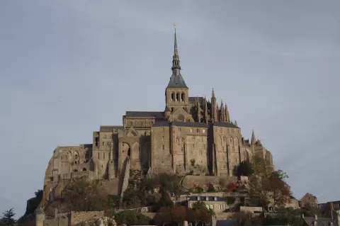 Mont-Saint-Michel Abbey
Le Mont Saint-Michel (Manche)
-
19
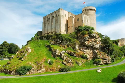 Château de Falaise
Falaise (Calvados)
-
20
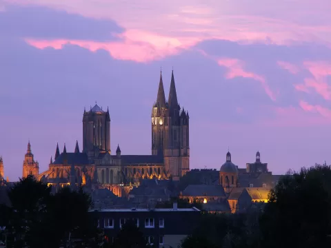 Coutances Cathedral
Coutances (Manche)
-
21
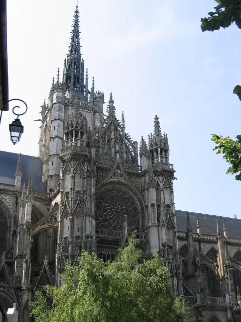 Évreux Cathedral
Évreux (Eure)
-
22
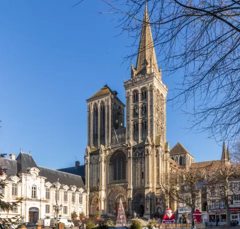 Lisieux Cathedral
Lisieux (Calvados)
-
23
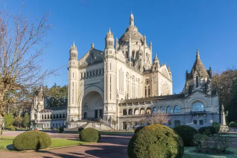 Basilica of Sainte-Thérèse
Lisieux (Calvados)
-
24
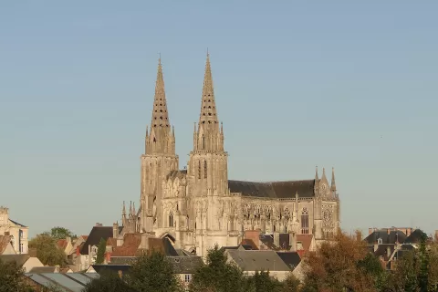 Sées Cathedral
Sées (Orne)
-
25
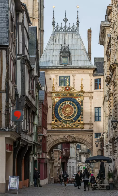 Gros Horloge
Ruan (Seine-Maritime)
-
26
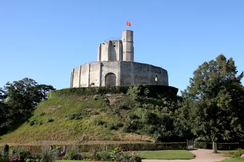 Château de Gisors
Gisors (Eure)
-
27
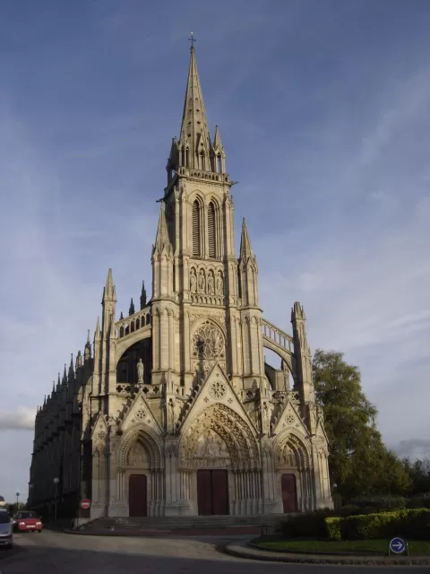 Basilique Notre-Dame de Bonsecours
Bonsecours (Seine-Maritime)
-
28
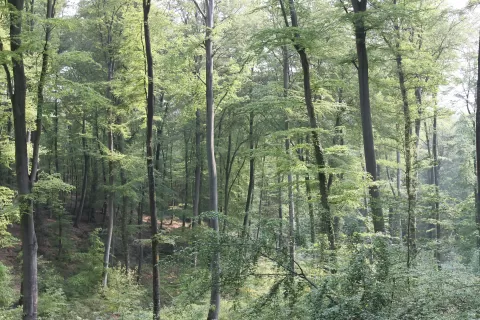 Forêt de Brotonne
La Mailleraye-sur-Seine (Seine-Maritime)
-
29
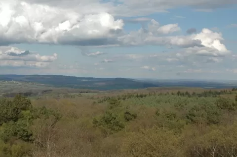 Forêt d'Écouves
Orne
-
30
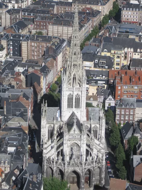 Church of Saint-Maclou
Ruan (Seine-Maritime)
And 126 more on the map.
Viewpoints in Normandy
-
1
Pointe du Hoc
Cricqueville-en-Bessin (Calvados)
A 30-metre headland west of Omaha that the Rangers scaled on D-Day, still pitted with craters and bunkers.
-
2
Cabo de la Hague
Manche
The north-western tip of the Cotentin, at Auderville, facing the Raz Blanchard, with the port of Goury and La Hague lighthouse out at sea.
-
3
Lyons-la-Forêt
Lyons-la-Forêt (Eure)
A Norman village in the middle of the Lyons forest, with a 17th-century covered market, where Ravel composed and Renoir filmed.
-
4
Beuvron-en-Auge
Beuvron-en-Auge (Calvados)
A Norman village in the Pays d'Auge with 17th- and 18th-century half-timbered houses around its covered market.
Beaches and coves in Normandy
-
1
Omaha Beach
Calvados
A beach of about 8 km below cliffs 30 to 50 metres high, scene of the American landing on 6 June 1944.
-
2
Utah Beach
Sainte-Marie-du-Mont (Manche)
The westernmost of the Normandy landing beaches, with a museum built where the troops came ashore in 1944.
-
3
Juno Beach
Calvados
A Normandy landing sector taken by Canadian troops on 6 June 1944, with the Juno Beach Centre in Courseulles.
-
4
Pointe du Hoc
Cricqueville-en-Bessin (Calvados)
A 30-metre headland west of Omaha that the Rangers scaled on D-Day, still pitted with craters and bunkers.
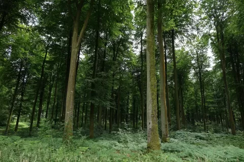
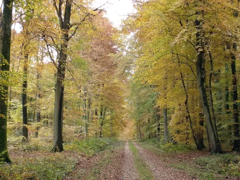
Forests in Normandy
Natural pools in Normandy
-
1
Omaha Beach
Calvados
A beach of about 8 km below cliffs 30 to 50 metres high, scene of the American landing on 6 June 1944.
-
2
Utah Beach
Sainte-Marie-du-Mont (Manche)
The westernmost of the Normandy landing beaches, with a museum built where the troops came ashore in 1944.
-
3
Juno Beach
Calvados
A Normandy landing sector taken by Canadian troops on 6 June 1944, with the Juno Beach Centre in Courseulles.
-
4
Sword Beach
Calvados
The easternmost of the Normandy landing beaches, about 8 km of sand between Ouistreham and Saint-Aubin-sur-Mer.
Hiking trails in Normandy
Monuments in Normandy
-
1
Pont de Normandie
Le Havre (Calvados)
A 2,143-metre cable-stayed bridge over the Seine estuary between Le Havre and Honfleur, a world record span when it opened in 1995.
-
2
Rouen Cathedral
Ruan (Seine-Maritime)
A Gothic cathedral in Normandy whose cast-iron spire, 151 metres high, is the tallest of any cathedral in France.
-
3
Bayeux Cathedral
Bayeux (Calvados)
-
4
Castle of Caen
Caen (Calvados)
Frequently asked questions
What's the most beautiful place in Normandy?
According to fotoMap's score, it's Omaha Beach (Calvados): A beach of about 8 km below cliffs 30 to 50 metres high, scene of the American landing on 6 June 1944. Followed by Utah Beach and Juno Beach.
What can you do in Normandy in one day?
Start with Omaha Beach and carry on with Pointe du Hoc, Bayeux Cathedral and Gold Beach: they're less than 25 km from each other.
What's the best time to take photos in Normandy?
Golden hour, with low, warm light: today, 21 November, 8:19 – 9:19 in the morning and 16:12 – 17:12 in the evening. For a deep blue sky, blue hour: 7:44 – 8:19 in the morning and 17:12 – 17:47 in the evening. Each place shows the times for its exact location.