 See all 6 photos
Upload your photo
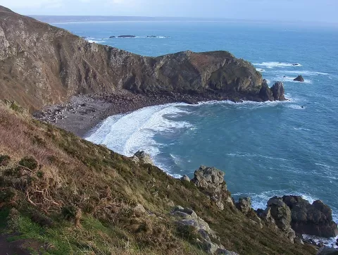
Cabo de la Hague
No reviews yet
Do you like this place? Be the first to vote
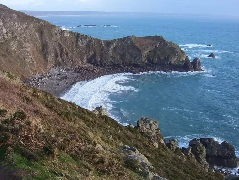
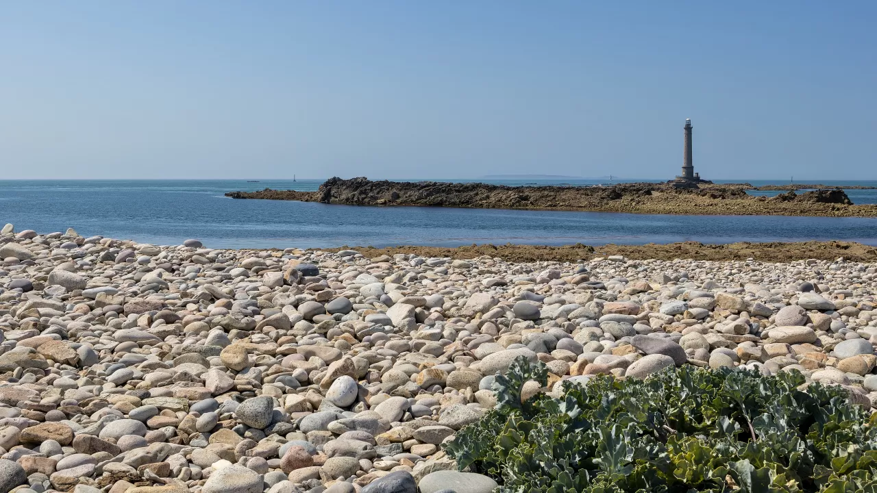
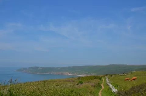
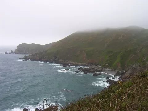
Cap de la Hague is the north-western tip of the Cotentin Peninsula, in Auderville, now part of the municipality of La Hague. It is separated from the Channel Islands by the Raz Blanchard, one of the strongest tidal currents in Europe, which runs between the cape and the island of Alderney.
Beside the cape is the small harbour of Goury, one of the few on this coast that lives from fishing. The customs officers' path, the GR 223, follows the coastline, a legacy of the watch against smuggling, and further south rises the Nez de Jobourg, with rocks some two billion years old.
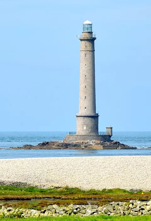
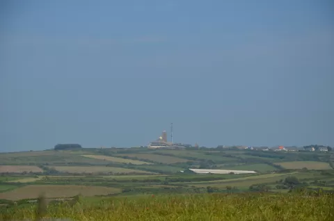
About 800 metres offshore, on the Gros du Raz rock, stands the La Hague lighthouse, first lit in 1837, with a 48-metre tower that marks the passage of the Raz Blanchard. It has been automated since 1989.
What Cabo de la Hague has to offer
More viewpoints in Manche More beaches and coves in Manche
Best time to photograph Cabo de la Hague today, 21 November
- Sunrise8:29 – 9:29golden hour
- Sunset16:18 – 17:18golden hour
- Blue hour17:18 – 17:54at dusk
At sunset the sea turns orange; at low tide you get reflections on the wet sand.
Hashtags for your photos of Cabo de la Hague
Upload your photo with #fotoMap and help more people discover this spot. The one with the most votes becomes the cover photo.
Reviews of Cabo de la Hague
Nobody has said what it's like yet. Have you been? Be the first to tell us.
Write a review