Hiking trails in the Azores
61 places of this kind in the Azores, ranked by their fotoMap score: what people who've been there like most, with recent votes counting more.
Updated on
-
1
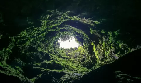 Algar do Carvão
Azores
-
2
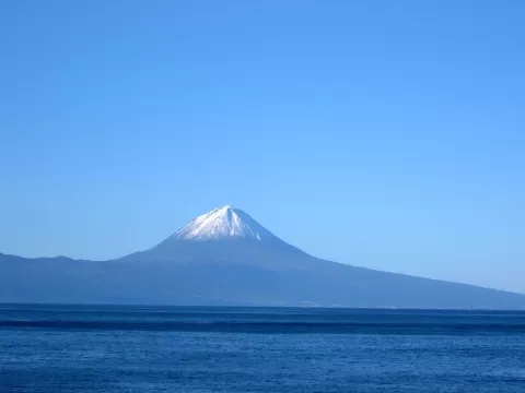 Mount Pico
Azores
A 2,351-metre volcano forming the western part of Pico island: the roof of Portugal, with the small Piquinho cone at its summit.
-
3
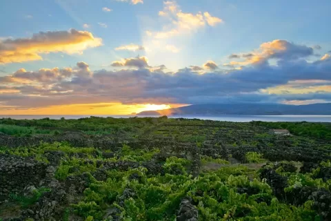 Landscape of the Pico Island Vineyard Culture
Madalena (Azores)
-
4
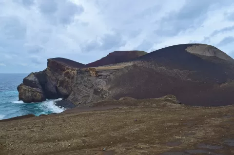 Capelinhos
Horta (Azores)
A volcano born from the sea in 1957–1958 at the western tip of Faial, which added 2.4 km² to the island and left an almost untouched ash landscape.
-
5
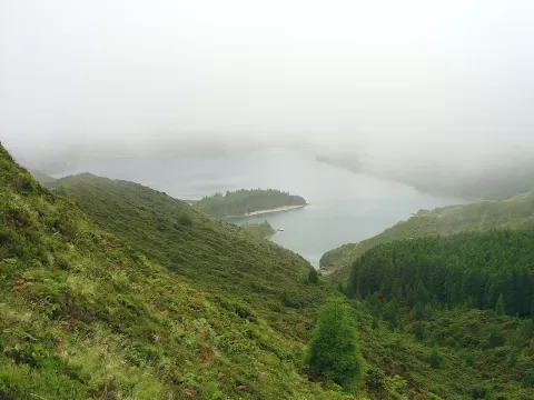 Água de Pau
Azores
A volcanic massif in central São Miguel whose caldera holds Lagoa do Fogo, a blue lake at 575 metres ringed by 300-metre walls.
-
6
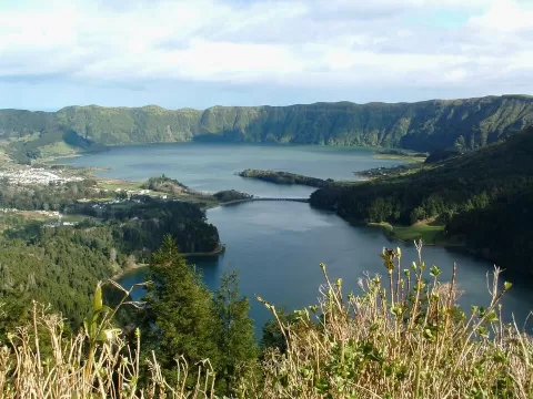 Caldeira das Sete Cidades
Azores
A great volcanic caldera in western São Miguel with the Green and Blue lakes joined under a bridge, seen from the Vista do Rei viewpoint.
-
7
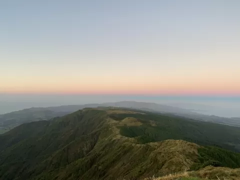 Pico da Vara
Azores
At 1,103 metres, the roof of São Miguel, surrounded by the island's largest laurel forest, home to the priolo, an endemic bird.
-
8
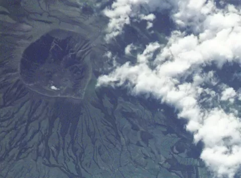 Cabeço Gordo
Azores
At 1,043 metres, the highest point on Faial, on the southern rim of the great volcanic caldera at the centre of the island.
-
9
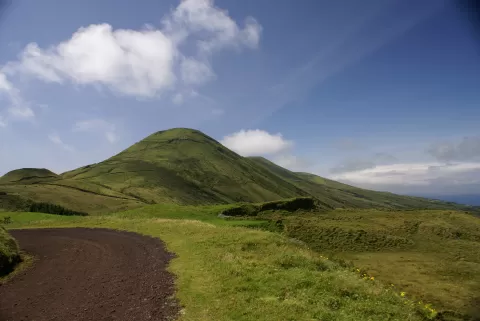 Pico da Esperança
Azores
The roof of São Jorge island, a 1,053-metre volcanic cone from which the neighbouring islands can be seen on clear days.
-
10
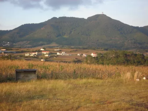 Pico Alto
Azores
The summit of Santa Maria island, in the Azores: 587 metres with a panoramic view of the whole island and clouds forming on its peak.
-
11
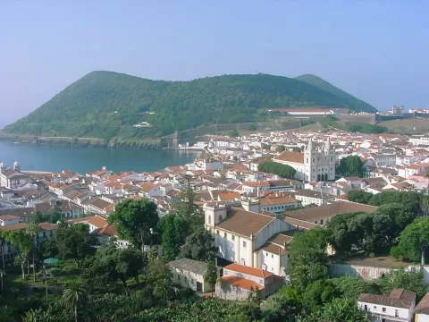 Monte Brasil
Azores
An ancient volcano above the sea beside Angra do Heroísmo, the largest tuff cone in the Azores, girdled by a 16th-century fortress.
-
12
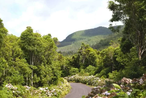 Sierra de Santa Bárbara
Azores
The roof of Terceira island, a 1,021-metre volcano with a double caldera, peat bogs and cloud forest, and a viewpoint at the top.
-
13
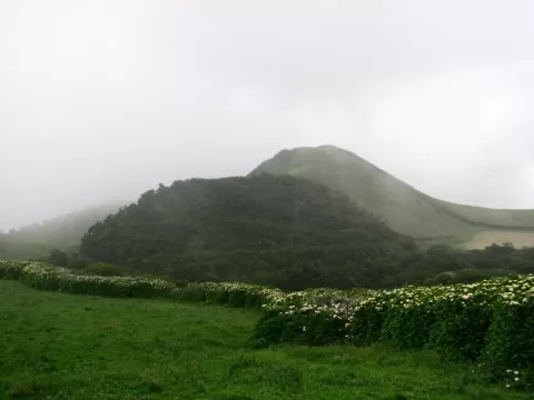 Vulcão da Urzelina
Azores
Trace of the 1808 eruption on São Jorge: a great basalt lava flow and the bell tower of the church the lava swept away.
-
14
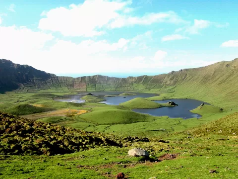 Morro dos Homens
Azores
The summit of Corvo island, in the Azores: 718 metres on the southern rim of the Caldeirão, the great crater of the central volcano.
-
15
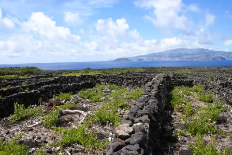 Pico Nature Park
Azores
Network of 22 protected areas on Pico island, in the Azores, from Portugal's highest mountain to its World Heritage vineyards.
-
16
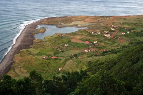 Fajana dos Cubres
Azores
-
17
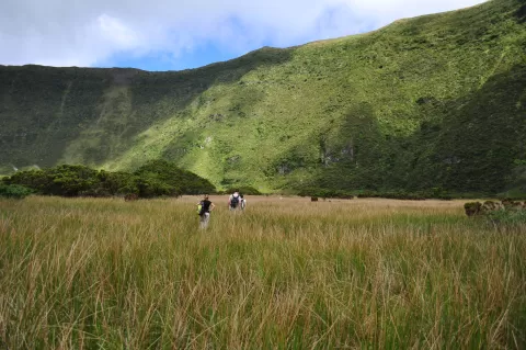 Nature Park of Faial
Azores
-
18
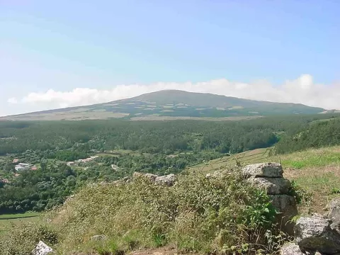 Nature Park of Terceira
Azores
-
19
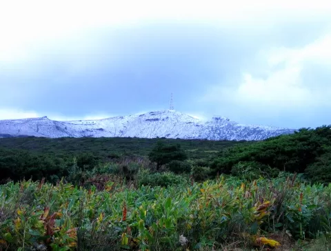 Morro Alto
Azores
-
20
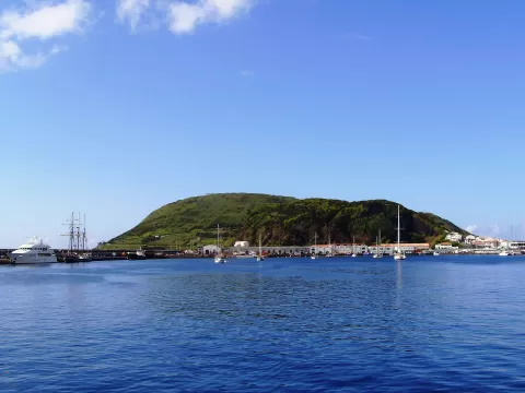 Monte da Guia
Azores
-
21
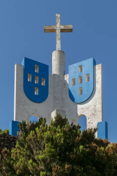 Pico Matias Simão
Azores
-
22
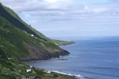 Fajã das Pontas
Azores
-
23
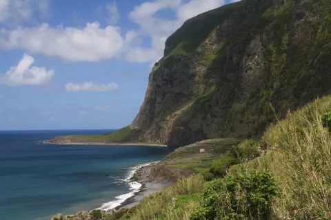 Fajã de Lopo Vaz
Azores
-
24
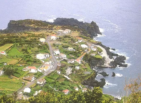 Fajã do Ouvidor
Azores
-
25
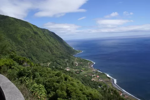 Fajã dos Vimes
Azores
-
26
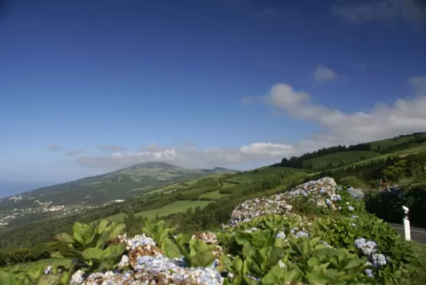 Complexo Vulcânico do Topo
Azores
-
27
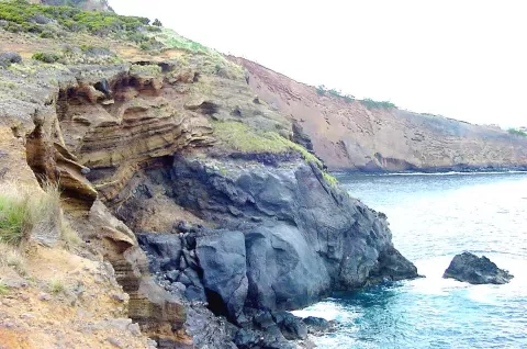 Ponta das Contendas
Azores
-
28
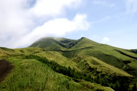 Morro Pelado
Azores
-
29
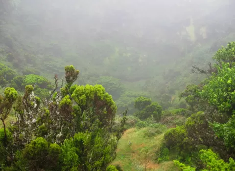 Pico Gaspar
Azores
-
30
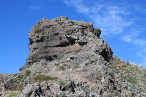 Pico Grande
Azores
And 31 more on the map.
Frequently asked questions
Which hiking trails in the Azores are most worth visiting?
According to fotoMap's score, it's Algar do Carvão (Azores). Followed by Mount Pico and Landscape of the Pico Island Vineyard Culture.
What's the best time to take photos in the Azores?
Golden hour, with low, warm light: today, 21 November, 7:36 – 8:36 in the morning and 16:32 – 17:32 in the evening. For a deep blue sky, blue hour: 7:08 – 7:36 in the morning and 17:32 – 18:01 in the evening. Each place shows the times for its exact location.