 See all 6 photos
Upload your photo
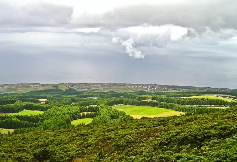
Sierra de Santa Bárbara
No reviews yet
Do you like this place? Be the first to vote
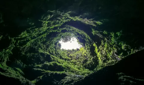
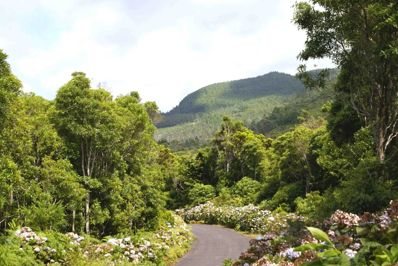
The Serra de Santa Bárbara is an active stratovolcano occupying the western third of Terceira island, in the Azores. Its summit, at 1021 metres, is the highest point on the island. It has a double caldera partly filled with domes and lava flows, has had at least 30 eruptions in 20,000 years, and the last one on land was in 1761.
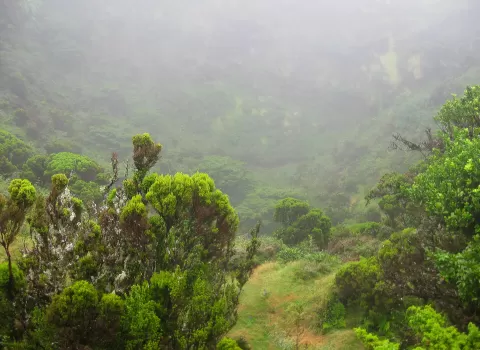
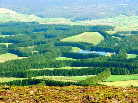
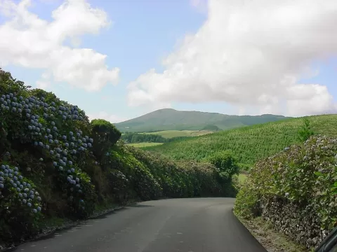
Much of the massif is a nature reserve within Terceira Natural Park, with cloud forest of endemic plants, peat bogs and the Lagoa Negra inside the caldera. A road of about 5.5 km climbs to the summit viewpoint, renovated in 2023 with wooden boardwalks. At the top there are also antennas and a weather radar.
From the boardwalks you can look down into the caldera. With cloud the view closes in, so it pays to go up on a clear day; in fog, the peat bogs and endemic vegetation make for atmospheric photos.
What Sierra de Santa Bárbara has to offer
More viewpoints in the Azores More hiking trails in the Azores
Best time to photograph Sierra de Santa Bárbara today, 21 November
- Sunrise7:38 – 8:38golden hour
- Sunset16:32 – 17:32golden hour
- Blue hour17:32 – 18:00at dusk
At sunrise and sunset, low-angled light brings out the landscape's texture. Arrive 20 minutes early to get a good spot.
Hashtags for your photos of Sierra de Santa Bárbara
Upload your photo with #fotoMap and help more people discover this spot. The one with the most votes becomes the cover photo.
Reviews of Sierra de Santa Bárbara
Nobody has said what it's like yet. Have you been? Be the first to tell us.
Write a review