 See all 6 photos
Upload your photo
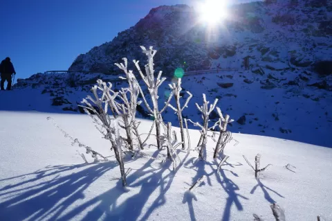
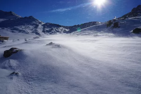
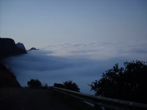
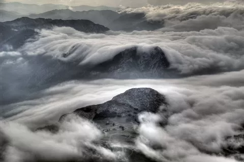
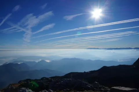
Sierra del Aramo
No reviews yet
Do you like this place? Be the first to vote
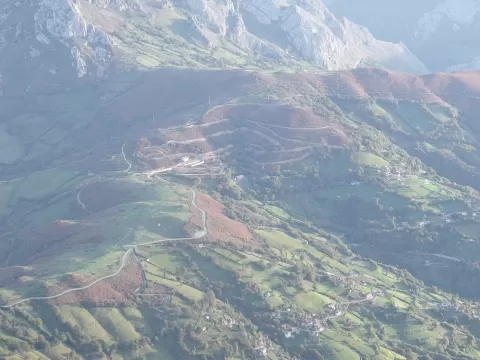
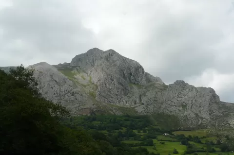
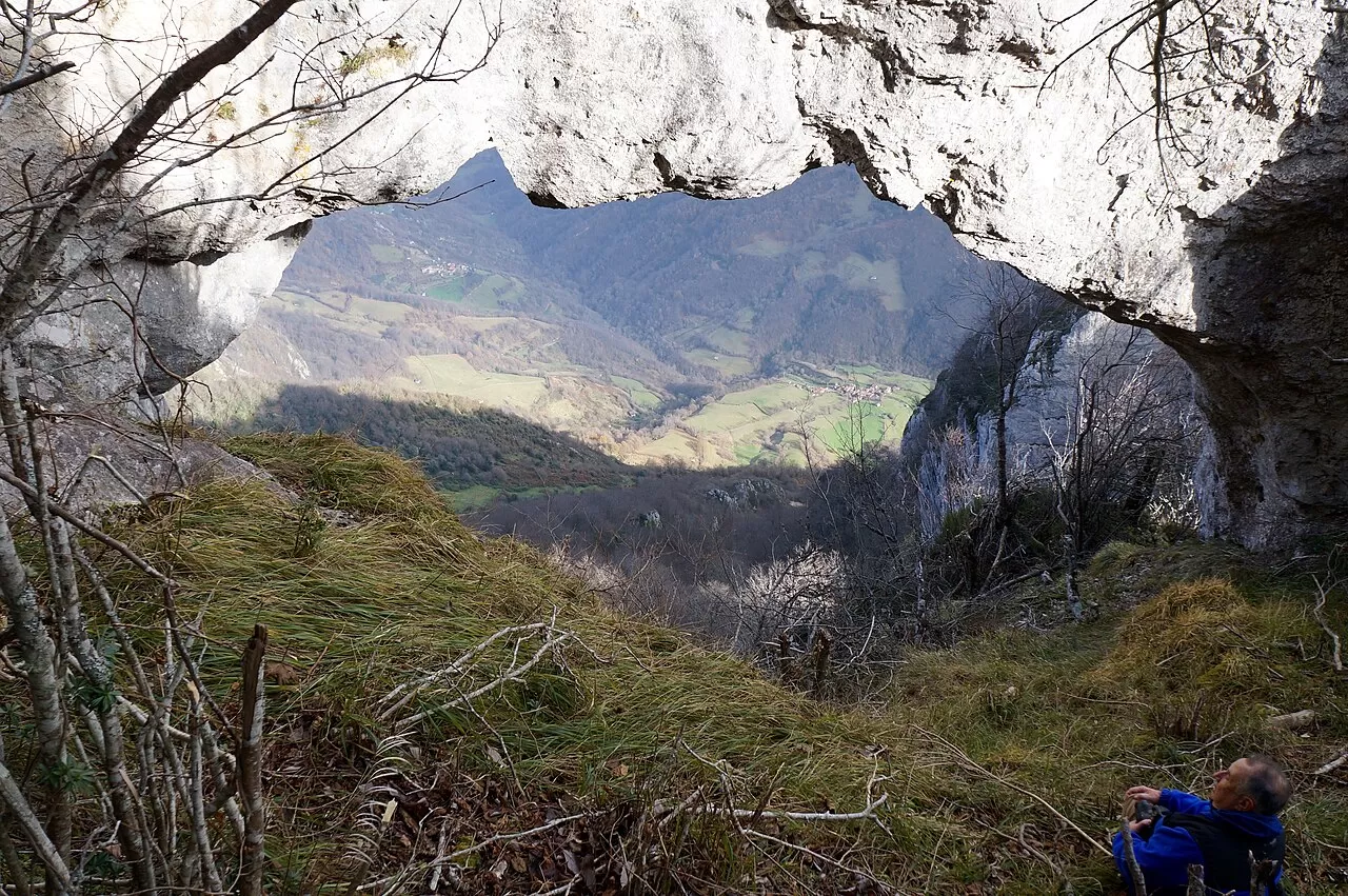
The Sierra del Aramo is a limestone ridge in the Central Mountains of Asturias, some 15 km long from north to south, between Peñerudes, in Morcín, and the Alto de la Cobertoria pass. It is shared between Quirós, Riosa and Morcín, with small parts in Lena, Santo Adriano and Proaza, and its highest point is the Gamoniteiro, at 1,791 metres. It is a protected landscape of almost 54 km², with pastures and summer grazing grounds on the limestone plateau on top and holm oak woods in the gorges.
A road climbs from Viapará to the summit of the Angliru, at 1,570 metres. Another option is the dirt track from Muriellos to the Llagos bend, which runs from about 400 to about 800 metres above sea level.
From the Angliru, on clear days, you can see the Cantabrian Sea, the Picos de Europa and Pajares, with Oviedo below. You need haze-free days for the sea to appear in the photo.
What Sierra del Aramo has to offer
More viewpoints in Asturias More hiking trails in Asturias
Best time to photograph Sierra del Aramo today, 21 November
- Sunrise8:24 – 9:24golden hour
- Sunset16:55 – 17:55golden hour
- Blue hour17:55 – 18:26at dusk
At sunrise and sunset, low-angled light brings out the landscape's texture. Arrive 20 minutes early to get a good spot.
Hashtags for your photos of Sierra del Aramo
Upload your photo with #fotoMap and help more people discover this spot. The one with the most votes becomes the cover photo.
Reviews of Sierra del Aramo
Nobody has said what it's like yet. Have you been? Be the first to tell us.
Write a review