 See all 3 photos
Upload your photo
Angliru
No reviews yet
Do you like this place? Be the first to vote
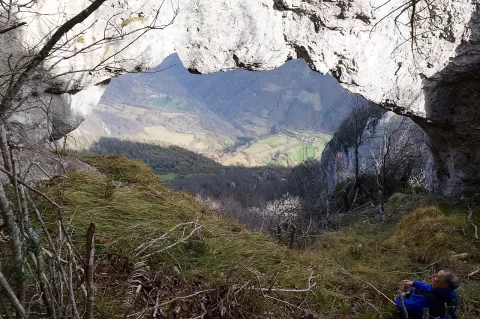
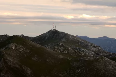
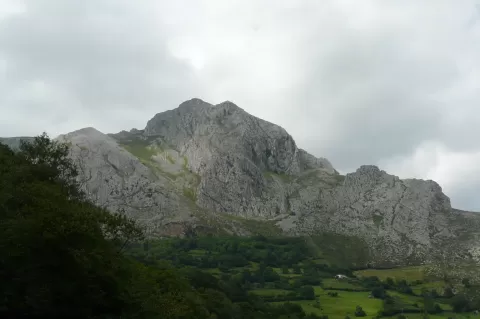
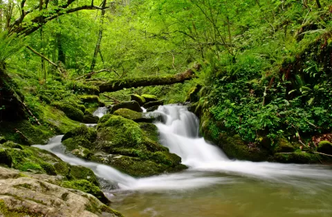
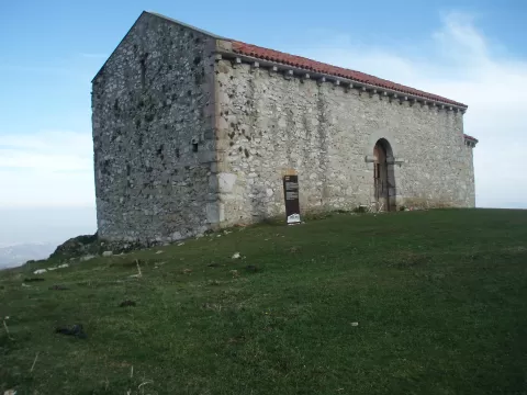
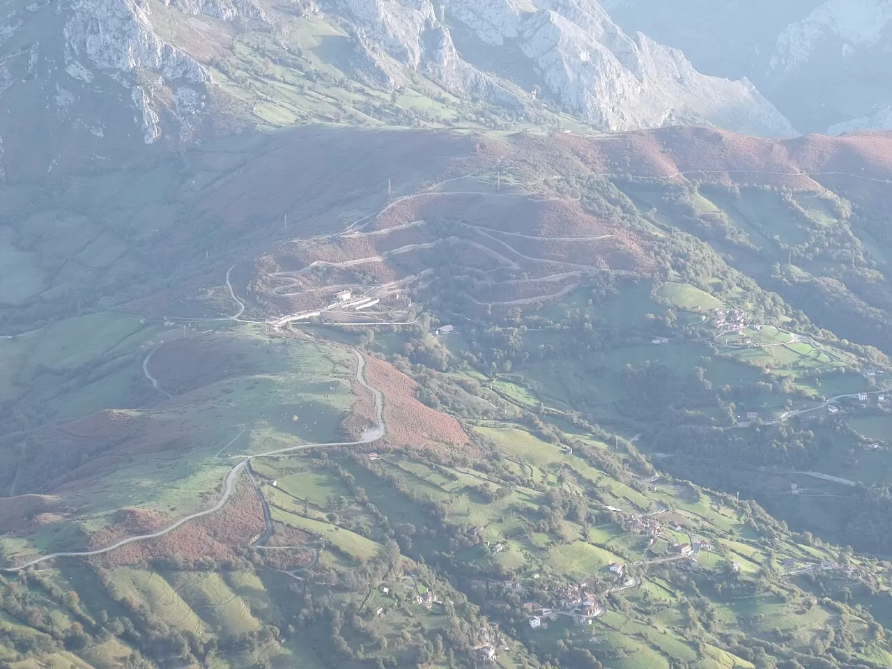
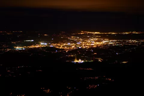
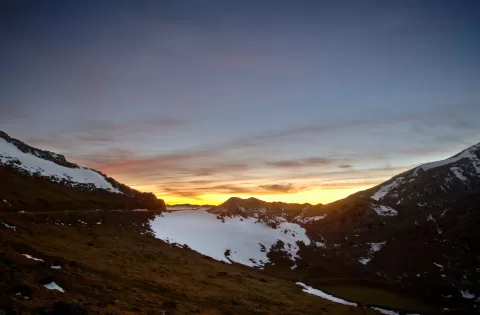
Angliru is an area of pasture and watering places at 1,570 metres, in the heart of the Sierra del Aramo, on the boundary between Riosa and Quirós. It is surrounded by some of the range's main peaks, such as Gamonal, Moncuevu and Barriscal, and the road that comes up here is the most direct way to climb Gamonal.
The climb starts in La Vega de Riosa. Only herders and hikers knew it until the Vuelta a España put a stage finish here in 1999. The first five kilometres, up to the Viapará picnic area, are the most bearable; after that come about six very hard kilometres, with the Cueña les Cabres at 23.5%.
What Angliru has to offer
More viewpoints in Asturias More hiking trails in Asturias
Best time to photograph Angliru today, 21 November
- Sunrise8:24 – 9:24golden hour
- Sunset16:55 – 17:55golden hour
- Blue hour17:55 – 18:26at dusk
At sunrise and sunset, low-angled light brings out the landscape's texture. Arrive 20 minutes early to get a good spot.
Hashtags for your photos of Angliru
Upload your photo with #fotoMap and help more people discover this spot. The one with the most votes becomes the cover photo.
Reviews of Angliru
Nobody has said what it's like yet. Have you been? Be the first to tell us.
Write a review