 See all 4 photos
Upload your photo
Sierra de Candelario
No reviews yet
Do you like this place? Be the first to vote
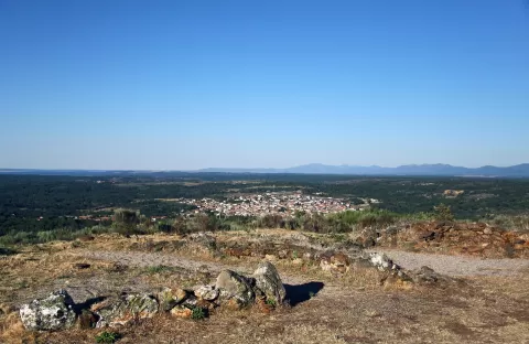
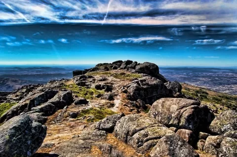
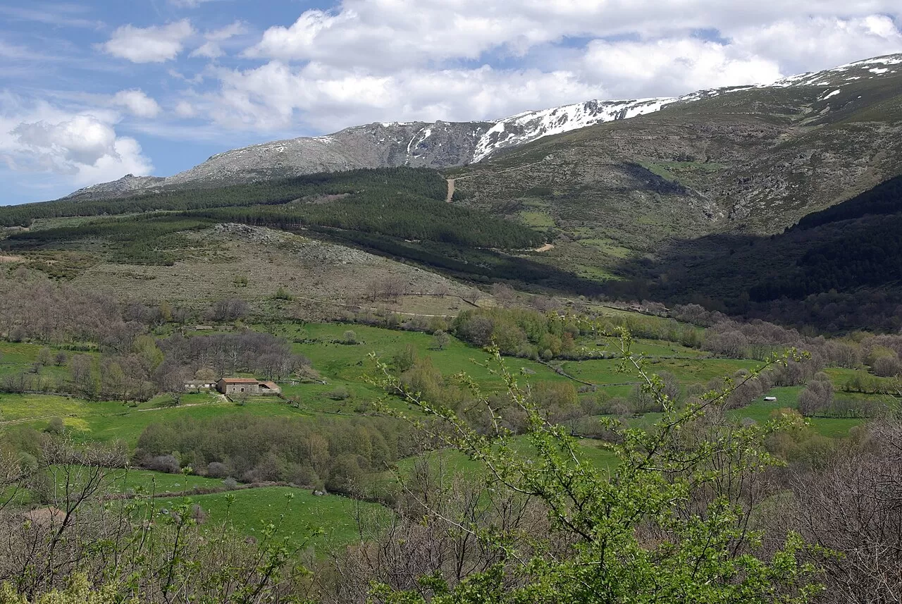
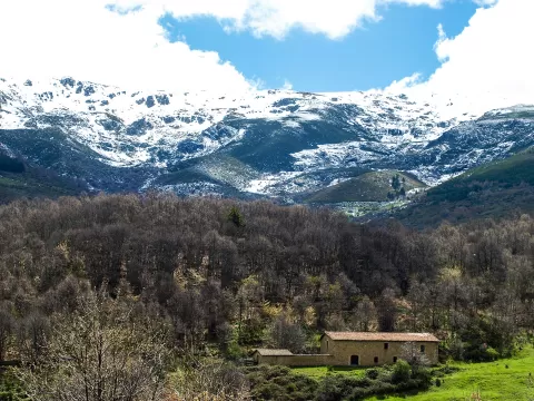
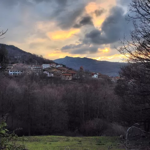
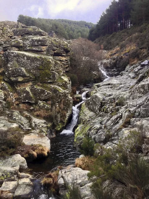
The Sierra de Candelario is a protected natural area at the south-eastern end of the Sierra de Béjar, in Salamanca. It covers 10,737 hectares across seven municipalities, including Béjar, Candelario and La Hoya, and is an SCI and SPA in the Natura 2000 network. It has crags, lakes, bogs and snowfields left by ancient glaciers, such as the three Trampal lakes.
From Candelario, the SA-225 road climbs 7 kilometres to the La Covatilla ski resort, on the slopes of Canchal Negro. From there a circular route goes to Canchal Negro, and another long, difficult route links the Trampal lakes with El Calvitero. The weather changes quickly at altitude.
The Trampal lakes, with the walls of the glacial cirque behind them, are the defining image of this range. The snowfields that linger on the summits add the contrast of white against granite.
What Sierra de Candelario has to offer
Best time to photograph Sierra de Candelario today, 21 November
- Sunrise8:19 – 9:19golden hour
- Sunset17:05 – 18:05golden hour
- Blue hour18:05 – 18:35at dusk
At sunrise and sunset, low-angled light brings out the landscape's texture. Arrive 20 minutes early to get a good spot.
Hashtags for your photos of Sierra de Candelario
Upload your photo with #fotoMap and help more people discover this spot. The one with the most votes becomes the cover photo.
Reviews of Sierra de Candelario
Nobody has said what it's like yet. Have you been? Be the first to tell us.
Write a review