 See all 4 photos
Upload your photo
Jálama
No reviews yet
Do you like this place? Be the first to vote
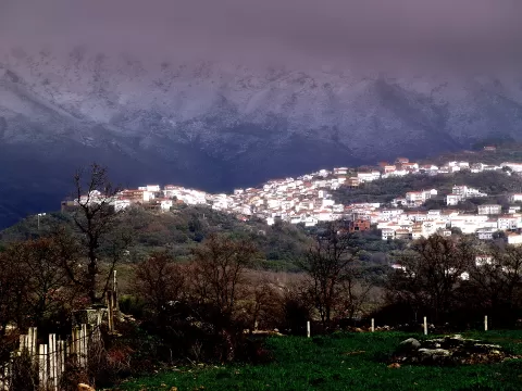
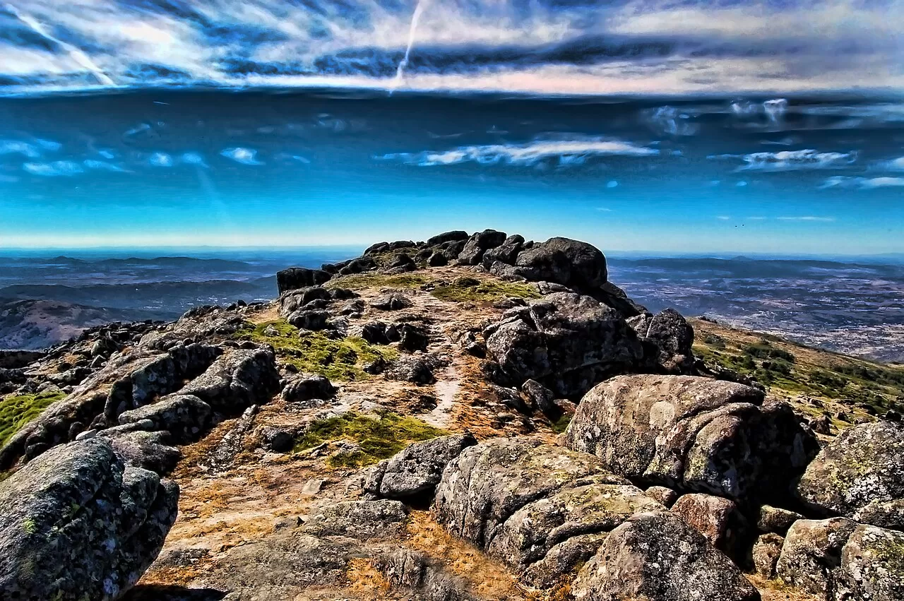
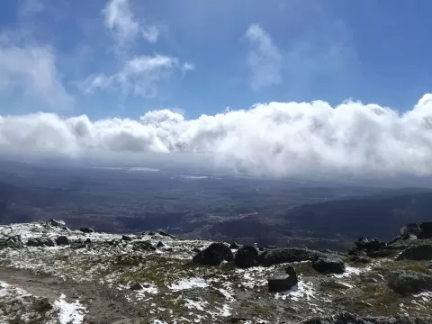
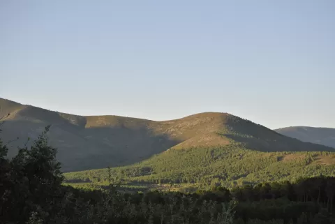
Jálama, 1492 metres high according to Wikipedia, is one of the highest summits of the Sierra de Gata, at the western end of the Sistema Central. Its top marks the boundary between the provinces of Cáceres and Salamanca and overlooks the Jálama valley. The name may be pre-Roman, linked to a Celtic water deity.
A popular route up starts from El Payo, in Salamanca, and passes through the municipality of San Martín de Trevejo: first along a firebreak and then up a zigzag track to a relay mast, before the summit. About 3 kilometres north-east of the top, the Cervigona stream forms a waterfall of some 60 metres.
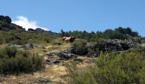
The slopes have chestnuts, oaks and pines, and the chestnut groves make a foreground with the summit behind. In autumn, when they change colour, is the best time for the photo.
What Jálama has to offer
Best time to photograph Jálama today, 21 November
- Sunrise8:19 – 9:19golden hour
- Sunset17:06 – 18:06golden hour
- Blue hour18:06 – 18:35at dusk
At sunrise and sunset, low-angled light brings out the landscape's texture. Arrive 20 minutes early to get a good spot.
Hashtags for your photos of Jálama
Upload your photo with #fotoMap and help more people discover this spot. The one with the most votes becomes the cover photo.
Reviews of Jálama
Nobody has said what it's like yet. Have you been? Be the first to tell us.
Write a review