 See all 5 photos
Upload your photo
Punta d'Harlé
No reviews yet
Do you like this place? Be the first to vote
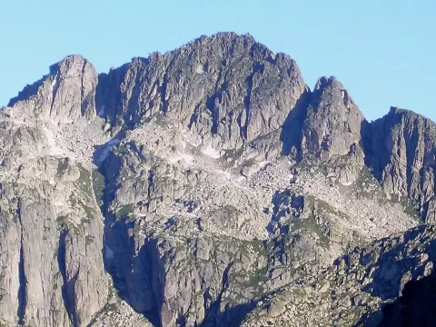
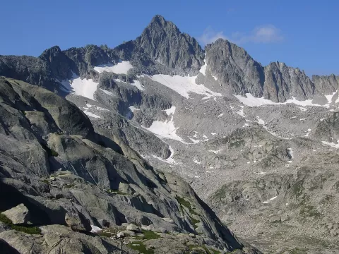
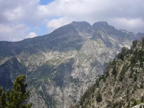
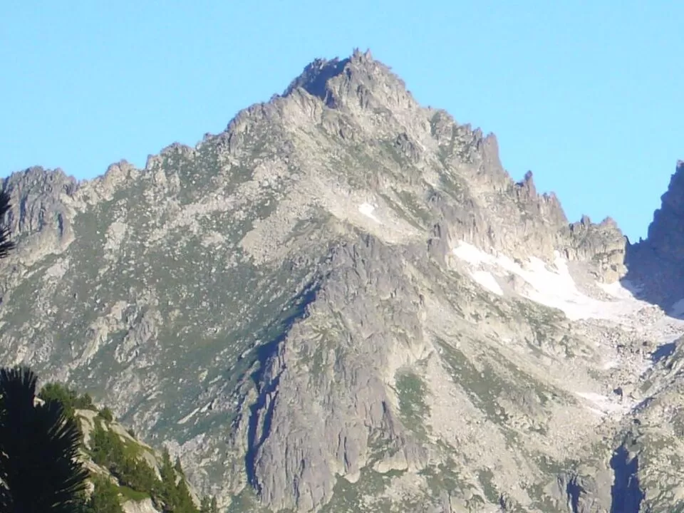
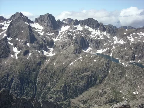
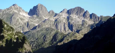
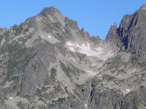
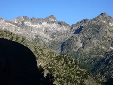
The Punta d'Harlé is a 2,893-metre Pyrenean peak on the Tumeneia ridge, on the boundary between the Vall de Boí (Alta Ribagorça) and Naut Aran (Val d'Aran). On the same ridge are the Pa de Sucre (2,863 m), Tumeneia (2,783 m) and the Tuc de Monges (2,707 m). The Coll d'Harlé separates it from the Mussol de Tumeneia.
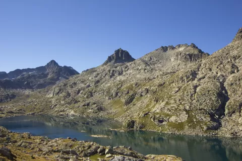
On the north side, in the valley of the Valarties river, lies the Lac de Mar. To the south, the Pas dels Isards separates it from the Tossal Esbonllat, already inside the Aigüestortes i Estany de Sant Maurici National Park.
For photos, the Lac de Mar is the natural foreground for the north face. The whole ridge, with the Pa de Sucre and Tumeneia on the same skyline, reads best in side light early or late in the day.
What Punta d'Harlé has to offer
More viewpoints in Lleida More hiking trails in Lleida
Best time to photograph Punta d'Harlé today, 21 November
- Sunrise7:55 – 8:55golden hour
- Sunset16:29 – 17:29golden hour
- Blue hour17:29 – 18:00at dusk
At sunrise and sunset, low-angled light brings out the landscape's texture. Arrive 20 minutes early to get a good spot.
Hashtags for your photos of Punta d'Harlé
Upload your photo with #fotoMap and help more people discover this spot. The one with the most votes becomes the cover photo.
Reviews of Punta d'Harlé
Nobody has said what it's like yet. Have you been? Be the first to tell us.
Write a review