 See all 5 photos
Upload your photo
Pa de Sucre
No reviews yet
Do you like this place? Be the first to vote
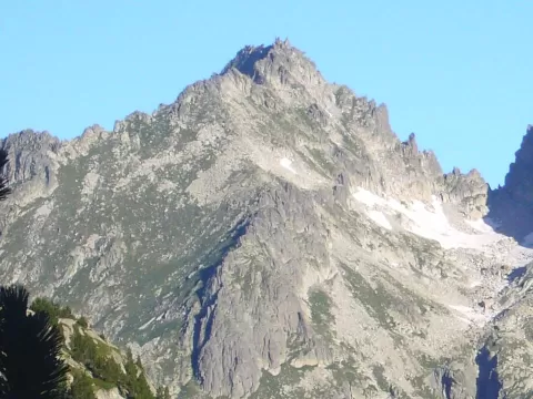
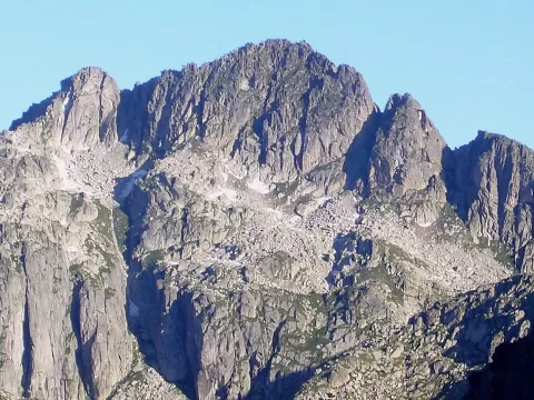
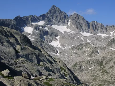
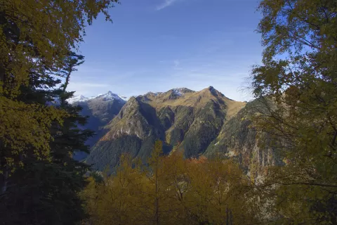
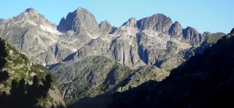
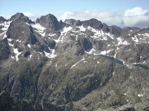
The Pa de Sucre, at 2,863 metres, is on the Tumeneia ridge, on the watershed between the Vall de Boí, in the Alta Ribagorça, and Naut Aran, in the Val d'Aran, within the Aigüestortes i Estany de Sant Maurici National Park. It is made of granite and porphyry, and lined up beside it are the Punta d'Harlé, at 2,893 metres, Tumeneia and the Tuc de Monges.
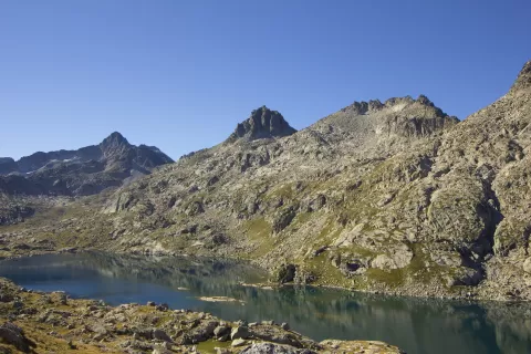
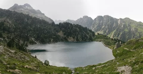
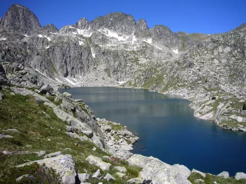
On its north side lies the Lac de Mar, in the Valarties valley. To the south, the Tumeneia de Dalt and de Baix lakes and the Estany Cloto feed the Cavallers reservoir, at the end of the L-500 road that climbs up the Vall de Boí, where there is a car park.
From the Cavallers dam you can see the Pa de Sucre in the distance, above the Tumeneia ridge, with the water of the reservoir in front. It is the easiest shot without climbing the mountain.
What Pa de Sucre has to offer
More viewpoints in Lleida More hiking trails in Lleida
Best time to photograph Pa de Sucre today, 21 November
- Sunrise7:55 – 8:55golden hour
- Sunset16:29 – 17:29golden hour
- Blue hour17:29 – 18:00at dusk
At sunrise and sunset, low-angled light brings out the landscape's texture. Arrive 20 minutes early to get a good spot.
Hashtags for your photos of Pa de Sucre
Upload your photo with #fotoMap and help more people discover this spot. The one with the most votes becomes the cover photo.
Reviews of Pa de Sucre
Nobody has said what it's like yet. Have you been? Be the first to tell us.
Write a review