 See all 3 photos
Upload your photo
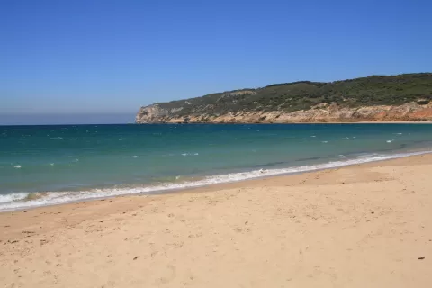
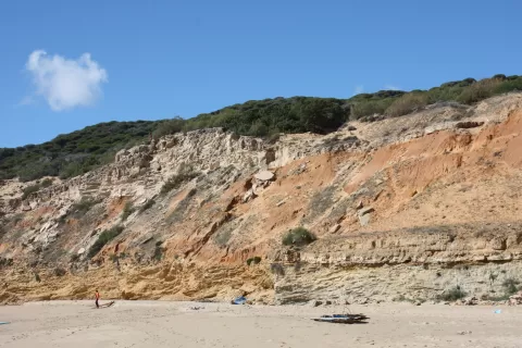
Playa de la Hierbabuena
No reviews yet
Do you like this place? Be the first to vote
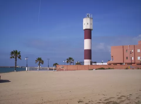
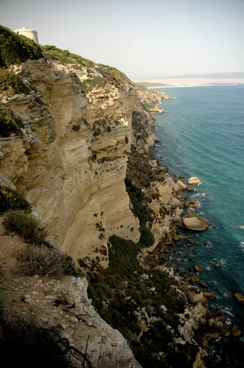
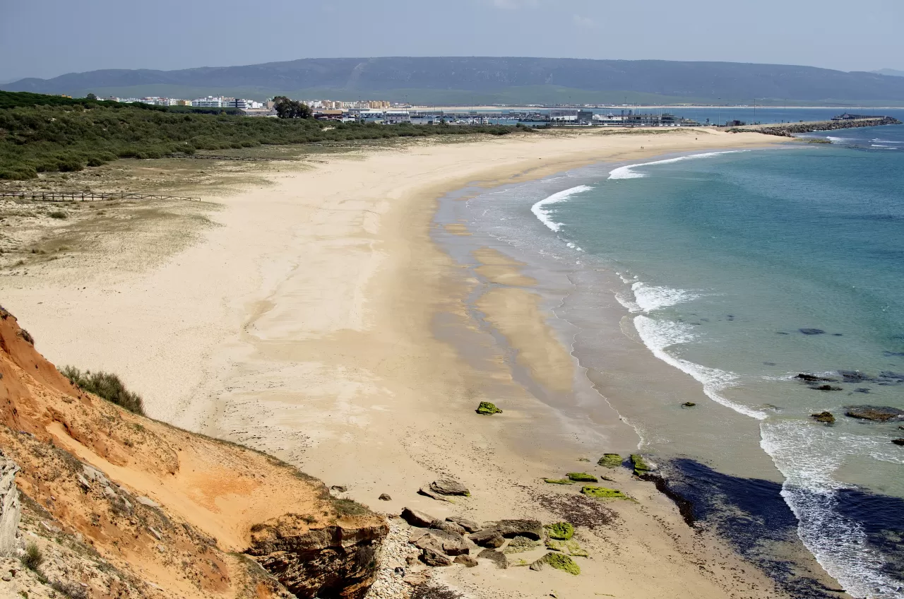
Playa de la Hierbabuena, also called Playa del Chorro after the trickles of water that run down the cliffs, is about 950 metres long and lies within the La Breña y Marismas del Barbate Natural Park. It is undeveloped and has no promenade: it runs from east to west, from the port of Barbate to the foot of the cliffs.
The main entrance is at the end of the port, where the A-2233 road towards Los Caños de Meca begins, with parking areas and boardwalks. There are no other facilities. From the beach the signposted Sendero del Acantilado (Cliff Path) runs 7.5 km to Los Caños de Meca.
For photos, the interesting part is the western end, where the sand ends against the cliff, with coves and caves such as the Cueva del Cristo, and the contrast between the green pine woods and the sand.
What Playa de la Hierbabuena has to offer
More beaches and coves in Cádiz More natural pools in Cádiz
Best time to photograph Playa de la Hierbabuena today, 21 November
- Sunrise8:06 – 9:06golden hour
- Sunset17:12 – 18:12golden hour
- Blue hour18:12 – 18:40at dusk
At sunset the sea turns orange; at low tide you get reflections on the wet sand.
Hashtags for your photos of Playa de la Hierbabuena
Upload your photo with #fotoMap and help more people discover this spot. The one with the most votes becomes the cover photo.
Reviews of Playa de la Hierbabuena
Nobody has said what it's like yet. Have you been? Be the first to tell us.
Write a review