 See all 6 photos
Upload your photo
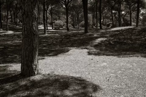
La Breña and Marismas del Barbate Natural Park
No reviews yet
Do you like this place? Be the first to vote
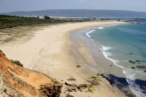
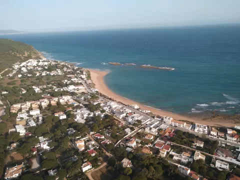
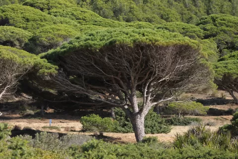
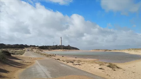
La Breña and Marismas del Barbate Natural Park was created in 1989 and covers 5,077 hectares of Vejer de la Frontera and Barbate, part of it at sea. It protects the La Breña pine forest, between Los Caños de Meca and Barbate, its cliff, and the salt marshes of the River Barbate. The stone pines were planted at the end of the 19th century to stop the dunes advancing.
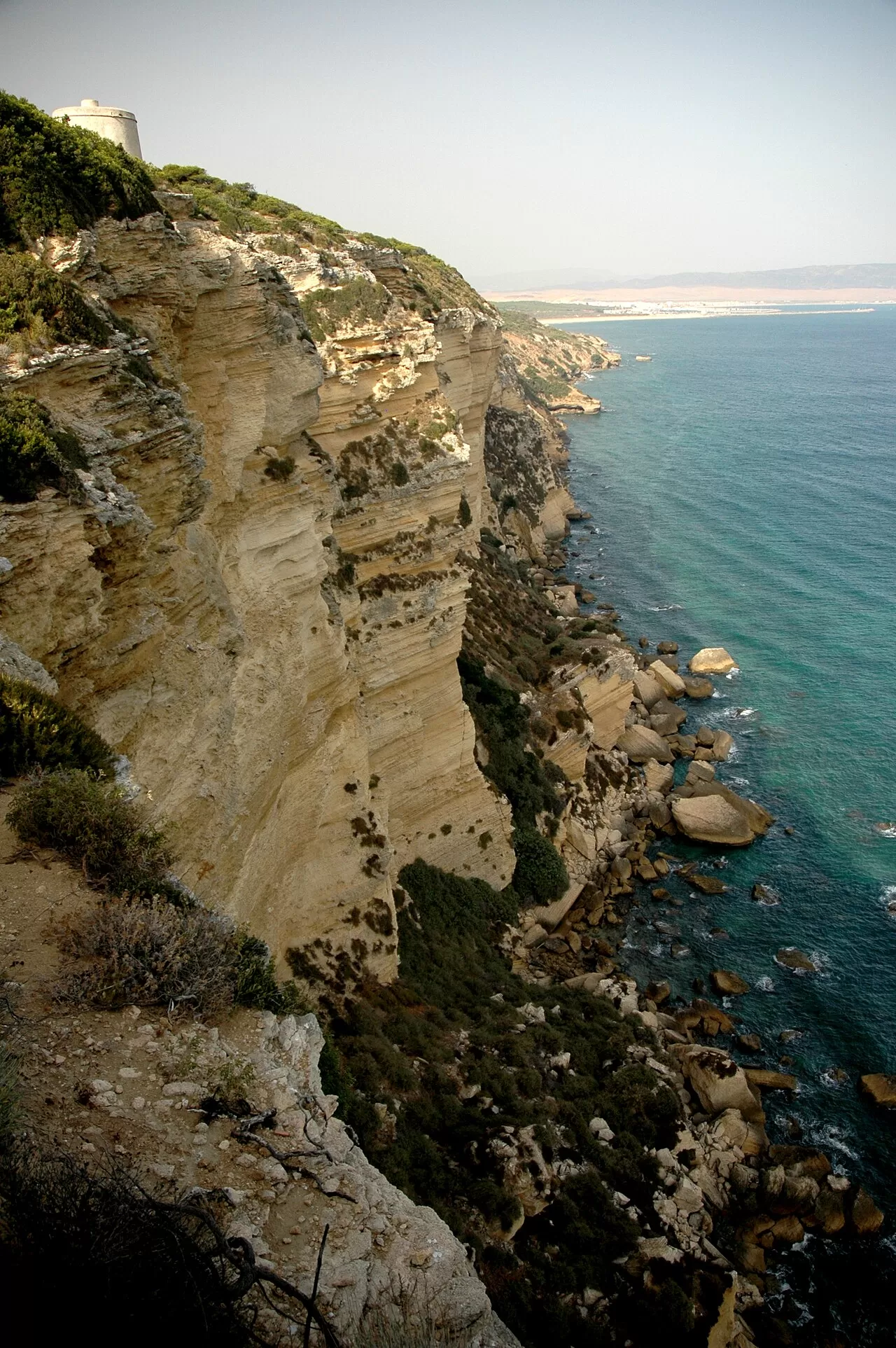
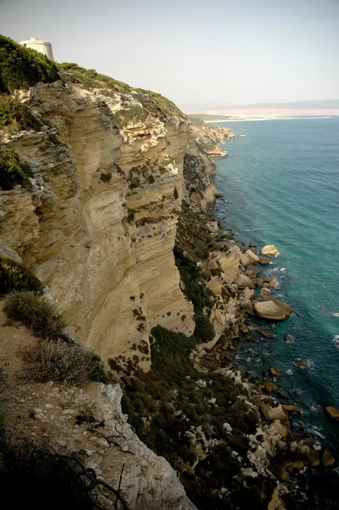
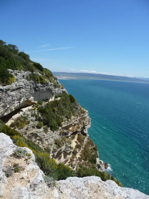
The cliff reaches about 100 metres at the Torre del Tajo, a 16th-century watchtower. The water seeping from its aquifers gives Los Caños de Meca its name. Seabirds breed on the cliff, and there is a reintroduced population of northern bald ibis. There are signposted paths through the pine forest.
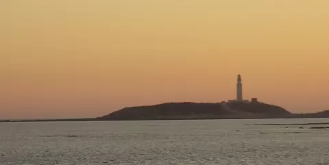
The Torre del Tajo, on the edge of the cliff with the Atlantic below, is the park's signature photo. At sunset the sun drops over the sea and shines full on the cliff face. The salt marshes reflect the sky in the low light.
What La Breña and Marismas del Barbate Natural Park has to offer
Best time to photograph La Breña and Marismas del Barbate Natural Park today, 22 November
- Sunrise8:07 – 9:07golden hour
- Sunset17:12 – 18:12golden hour
- Blue hour18:12 – 18:39at dusk
Golden hour gives the most beautiful light: warm, soft and with long shadows.
Hashtags for your photos of La Breña and Marismas del Barbate Natural Park
Upload your photo with #fotoMap and help more people discover this spot. The one with the most votes becomes the cover photo.
Reviews of La Breña and Marismas del Barbate Natural Park
Nobody has said what it's like yet. Have you been? Be the first to tell us.
Write a review