Hiking trails in São Miguel
9 places of this kind in São Miguel, ranked by their fotoMap score: what people who've been there like most, with recent votes counting more.
Updated on
-
1
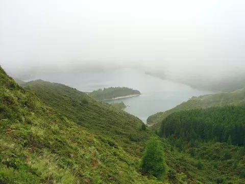 Água de Pau
Azores
A volcanic massif in central São Miguel whose caldera holds Lagoa do Fogo, a blue lake at 575 metres ringed by 300-metre walls.
-
2
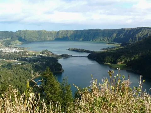 Caldeira das Sete Cidades
Azores
A great volcanic caldera in western São Miguel with the Green and Blue lakes joined under a bridge, seen from the Vista do Rei viewpoint.
-
3
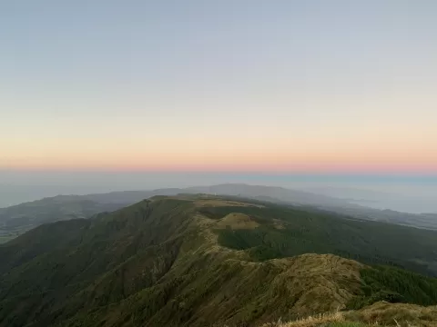 Pico da Vara
Azores
At 1,103 metres, the roof of São Miguel, surrounded by the island's largest laurel forest, home to the priolo, an endemic bird.
-
4
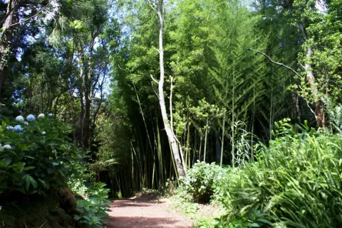 Recreational Forest Reserve of Pinhal da Paz
Azores
-
5
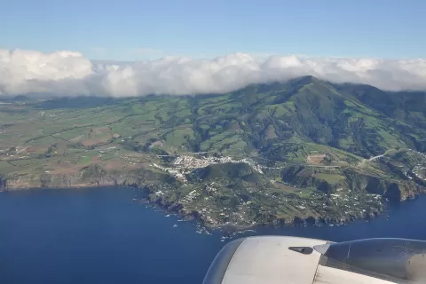 Serra de Água de Pau
Azores
-
6
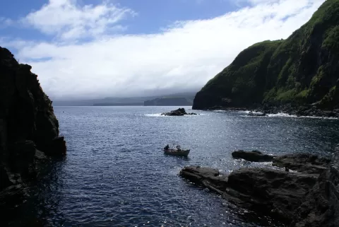 Ponta do Cintrão
Azores
-
7
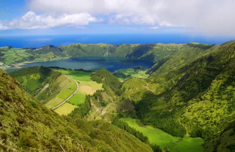 Sete Cidades
Azores
-
8
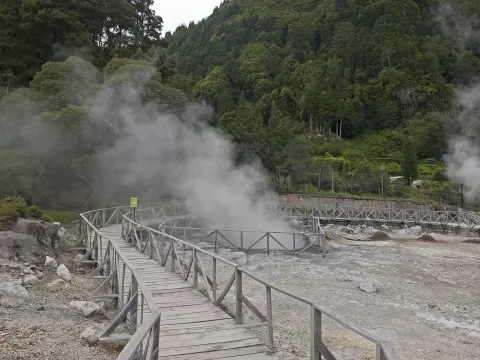 Furnas
Povoação (Azores)
-
9
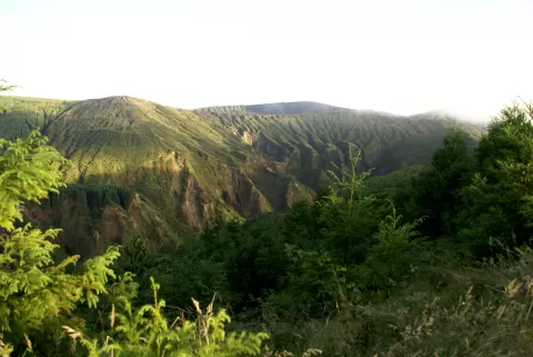 Mount Escuro
Azores
Frequently asked questions
Which hiking trails in São Miguel are most worth visiting?
According to fotoMap's score, it's Água de Pau (Azores): A volcanic massif in central São Miguel whose caldera holds Lagoa do Fogo, a blue lake at 575 metres ringed by 300-metre walls. Followed by Caldeira das Sete Cidades and Pico da Vara.
What's the best time to take photos in São Miguel?
Golden hour, with low, warm light: today, 21 November, 7:28 – 8:28 in the morning and 16:27 – 17:27 in the evening. For a deep blue sky, blue hour: 7:00 – 7:28 in the morning and 17:27 – 17:55 in the evening. Each place shows the times for its exact location.