Hiking trails in Faro
7 places of this kind in Faro, ranked by their fotoMap score: what people who've been there like most, with recent votes counting more.
Updated on
-
1
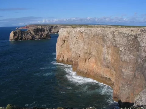 Southwest Alentejo and Vicentine Coast Natural Park
Faro
110 kilometres of cliffs, beaches, dunes and islets on Portugal's south-west coast, from São Torpes to Cape St. Vincent and Burgau.
-
2
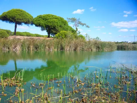 Ria Formosa Nature Park
Faro
-
3
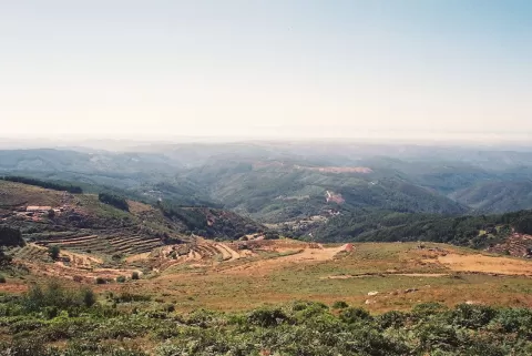 Serra de Monchique
Faro
-
4
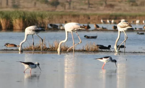 Castro Marim and Vila Real de Santo António Marsh Natural Reserve
Faro
Marshes and salt pans by the mouth of the Guadiana, a refuge for wading birds, with salt worked here since the 8th century BC.
-
5
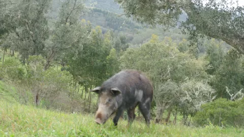 Sierra de Caldeirão
Faro
-
6
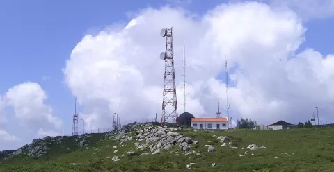 Foia
Faro
The highest point in the Algarve, 902 metres in the Serra de Monchique, with the Atlantic in view on clear days.
-
7
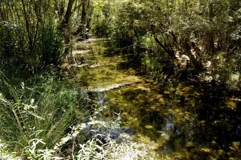 Fonte Benémola
Loulé (Faro)
Frequently asked questions
Which hiking trails in Faro are most worth visiting?
According to fotoMap's score, it's Southwest Alentejo and Vicentine Coast Natural Park (Faro): 110 kilometres of cliffs, beaches, dunes and islets on Portugal's south-west coast, from São Torpes to Cape St. Vincent and Burgau. Followed by Ria Formosa Nature Park and Serra de Monchique.
What's the best time to take photos in Faro?
Golden hour, with low, warm light: today, 21 November, 7:18 – 8:18 in the morning and 16:19 – 17:19 in the evening. For a deep blue sky, blue hour: 6:50 – 7:18 in the morning and 17:19 – 17:47 in the evening. Each place shows the times for its exact location.