 See all 6 photos
Upload your photo
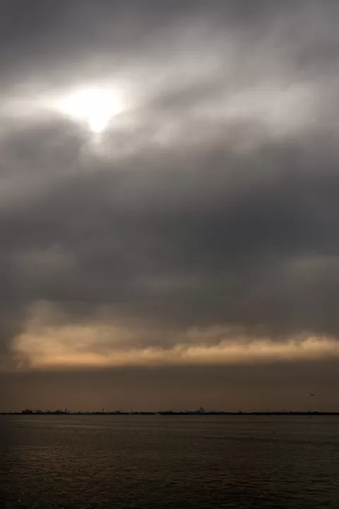
Venetian Lagoon
No reviews yet
Do you like this place? Be the first to vote
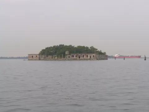
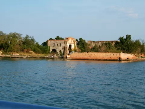
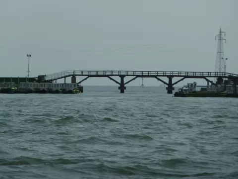
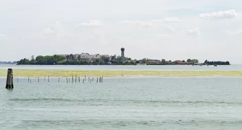
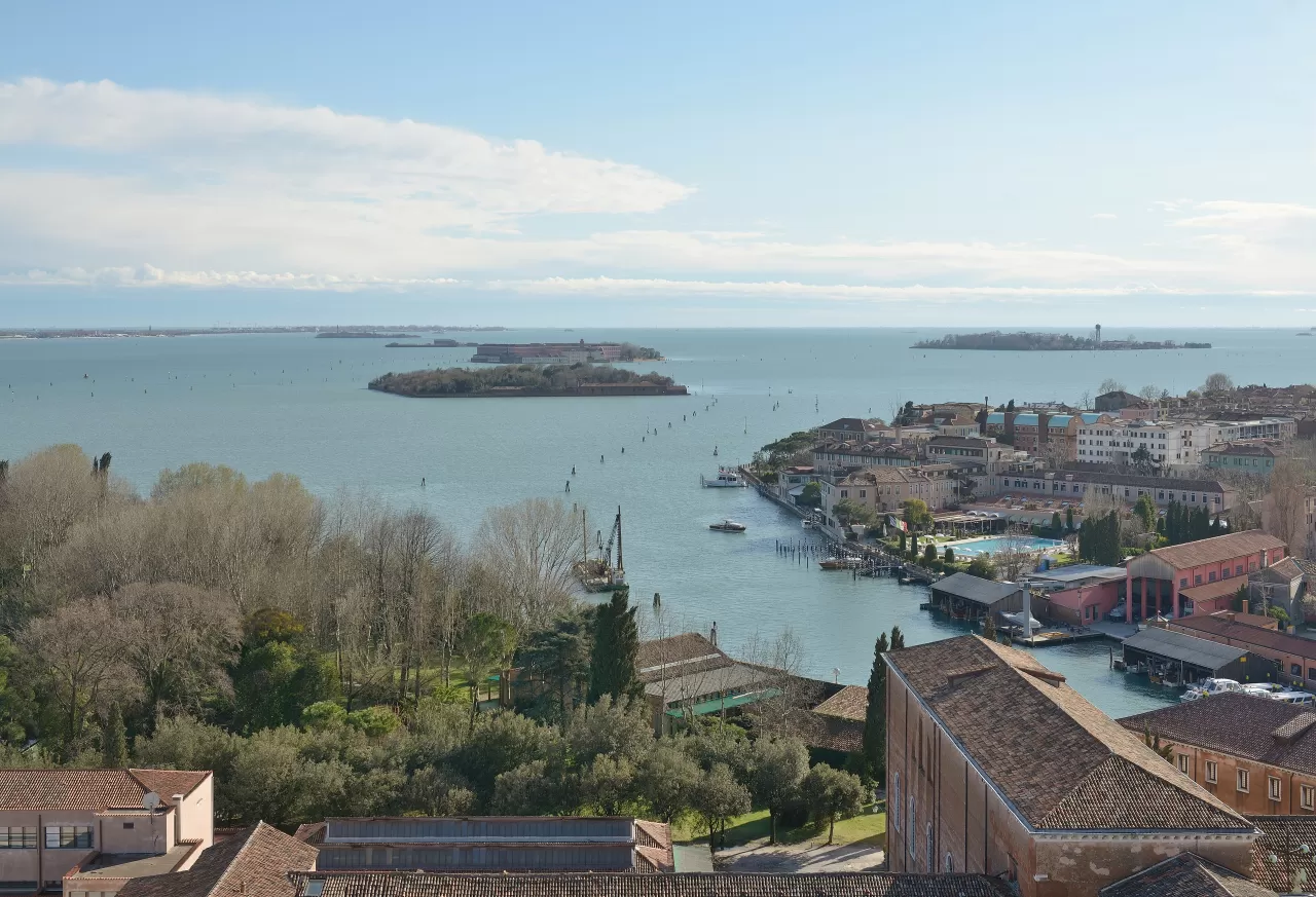
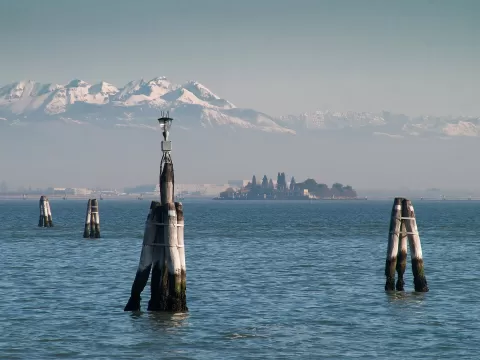
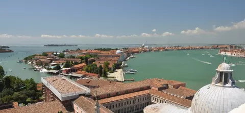
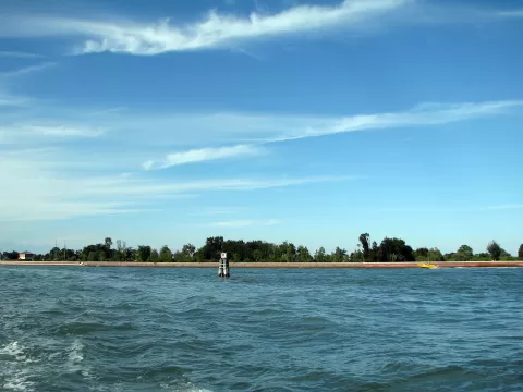
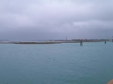
The Venetian Lagoon covers about 550 km² in the northern Adriatic and is the largest in the Mediterranean. It measures about 50 km long by 15 wide and is rarely more than 2 metres deep; most of it consists of mudflats and salt marshes. Venice and its lagoon have been a World Heritage Site since 1987.
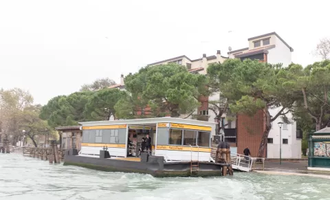
It connects with the sea through three inlets: Lido, Malamocco and Chioggia. Besides Venice there are inhabited islands such as the Lido, Murano, Pellestrina, Burano, Sant'Erasmo, Mazzorbo and Torcello, which today has around twenty residents and was one of the first settlements in the lagoon.
Lying at the end of an enclosed sea, it experiences large fluctuations in water level, which cause acqua alta in autumn and spring. To hold it back, mobile floodgates were installed at the three inlets, which in turn limit the renewal of the lagoon's water.
What Venetian Lagoon has to offer
More rivers and lakes in Venice More viewpoints in Venice More beaches and coves in Venice
Best time to photograph Venetian Lagoon today, 21 November
- Sunrise7:17 – 8:17golden hour
- Sunset15:35 – 16:35golden hour
- Blue hour16:35 – 17:08at dusk
At sunset the sea turns orange; at low tide you get reflections on the wet sand.
Hashtags for your photos of Venetian Lagoon
Upload your photo with #fotoMap and help more people discover this spot. The one with the most votes becomes the cover photo.
Reviews of Venetian Lagoon
Nobody has said what it's like yet. Have you been? Be the first to tell us.
Write a review