 See all 6 photos
Upload your photo
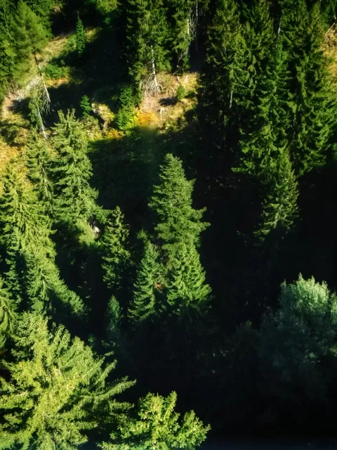

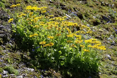
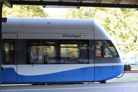
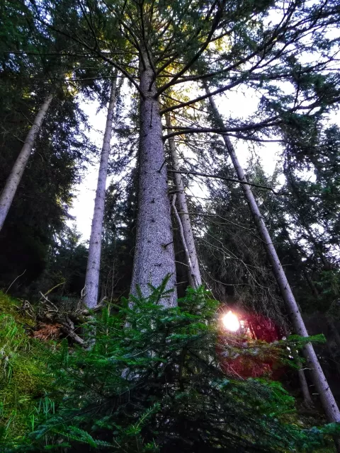
Val Venosta
No reviews yet
Do you like this place? Be the first to vote
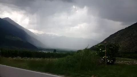
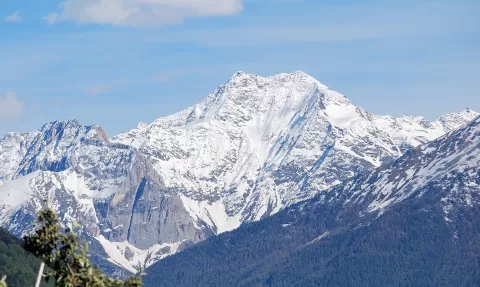
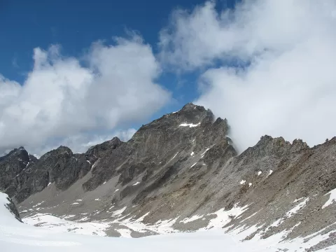
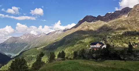
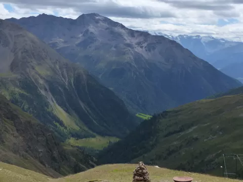
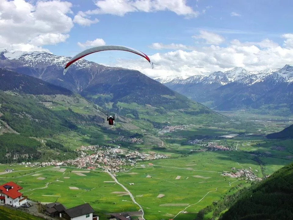
Val Venosta is the upper valley of the Adige, in the west of South Tyrol, running from the Resia Pass, where the river rises, to near Merano. It borders Austria and Switzerland, Silandro is its main town and more than 95% of its residents speak German.
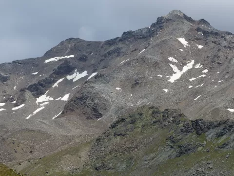
It is the driest area of the Eastern Alps, with about 500 mm of rain and more than 300 days of sunshine a year, and lives mainly from apple growing. Above the valley rises the Ortles, 3,906 metres, the highest peak in the region, and since 2005 the railway between Merano and Malles has been running again.
At the head of the valley, Lake Resia, the largest in South Tyrol, covered the old village of Curon in 1950, of which only the bell tower rises above the water. Further down, the abbey of Monte Maria drove the valley's development from the 12th century.
What Val Venosta has to offer
More viewpoints in South Tyrol More hiking trails in South Tyrol
Best time to photograph Val Venosta today, 21 November
- Sunrise7:27 – 8:27golden hour
- Sunset15:38 – 16:38golden hour
- Blue hour16:38 – 17:11at dusk
At sunrise and sunset, low-angled light brings out the landscape's texture. Arrive 20 minutes early to get a good spot.
Hashtags for your photos of Val Venosta
Upload your photo with #fotoMap and help more people discover this spot. The one with the most votes becomes the cover photo.
Reviews of Val Venosta
Nobody has said what it's like yet. Have you been? Be the first to tell us.
Write a review