 See all 6 photos
Upload your photo
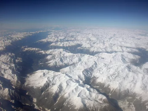
Val Camonica
No reviews yet
Do you like this place? Be the first to vote
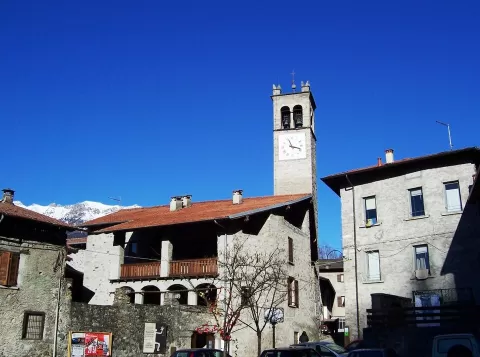
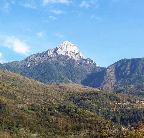
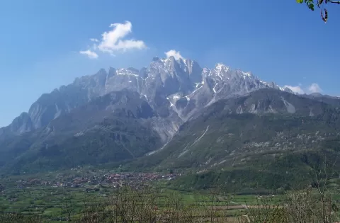
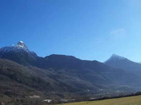
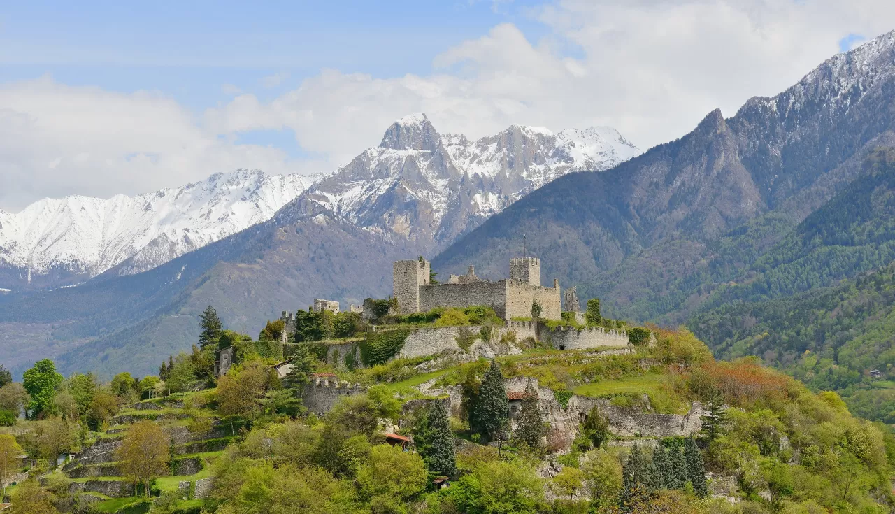
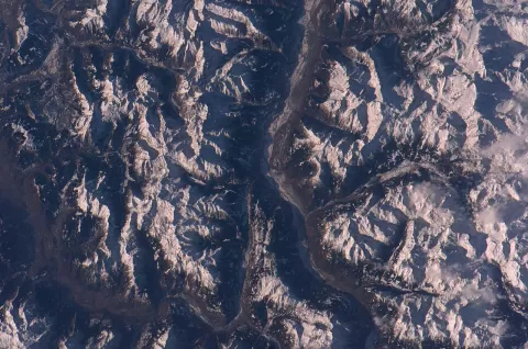
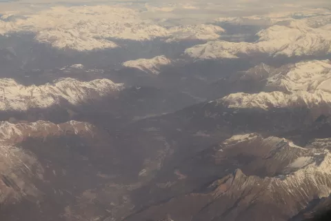
The Val Camonica runs for almost 100 km through the central Alps in eastern Lombardy, between the provinces of Brescia and Bergamo. It starts at Lake Iseo and climbs, following the upper course of the Oglio, to the Tonale (1,883 m), Gavia and Aprica passes. Its name comes from the Camunni, the people who inhabited it in antiquity.
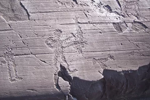
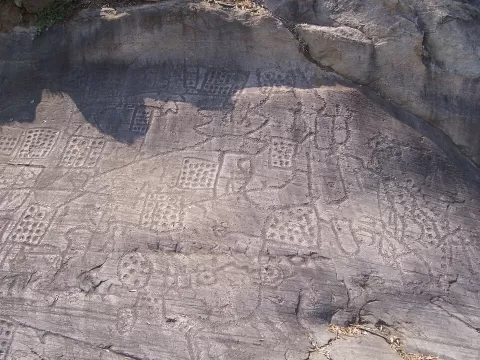
Its best-known heritage is its rock carvings, a World Heritage Site since 1979; the Naquane Rock Carvings National Park, in Capo di Ponte, was created in 1955. A cycle path leaves from Vello and runs up the valley to Capo di Ponte.
The red sandstone of the Lombard Verrucano was the preferred surface for the carvings, and the local slate, the piòda, covered the roofs. In 2018 the whole valley was declared a biosphere reserve. Its highest peak is the Adamello, at 3,539 metres.
What Val Camonica has to offer
More viewpoints in Brescia More hiking trails in Brescia
Best time to photograph Val Camonica today, 21 November
- Sunrise7:27 – 8:27golden hour
- Sunset15:41 – 16:41golden hour
- Blue hour16:41 – 17:14at dusk
At sunrise and sunset, low-angled light brings out the landscape's texture. Arrive 20 minutes early to get a good spot.
Hashtags for your photos of Val Camonica
Upload your photo with #fotoMap and help more people discover this spot. The one with the most votes becomes the cover photo.
Reviews of Val Camonica
Nobody has said what it's like yet. Have you been? Be the first to tell us.
Write a review