 See all 6 photos
Upload your photo
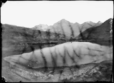
Tuc de Mauberme
No reviews yet
Do you like this place? Be the first to vote
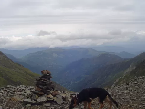
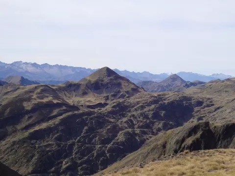
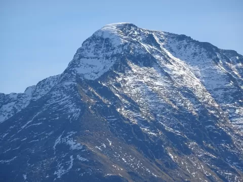
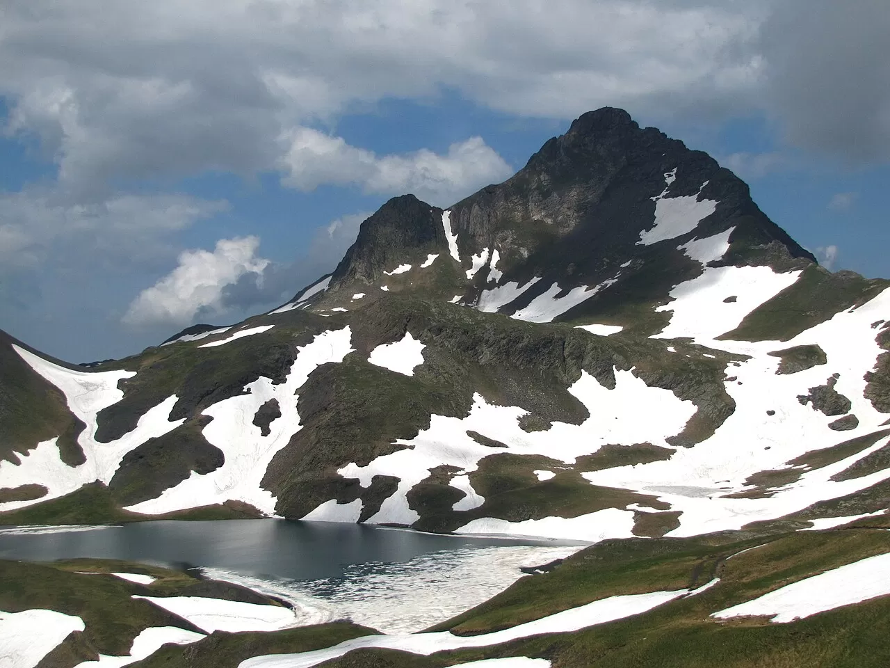
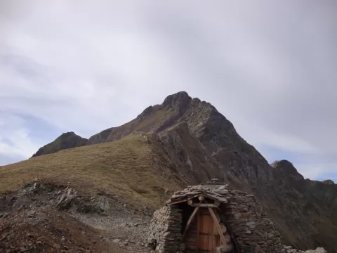
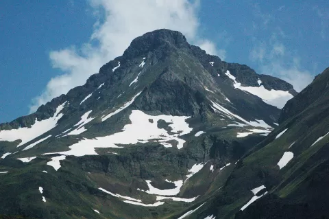
The Tuc de Mauberme rises to 2,880 metres in the chain that closes off the Val d'Aran to the north, on the border between Lleida and the French Ariège. It is one of the highest peaks on that border, and some sources give it as the highest point of the Couserans.
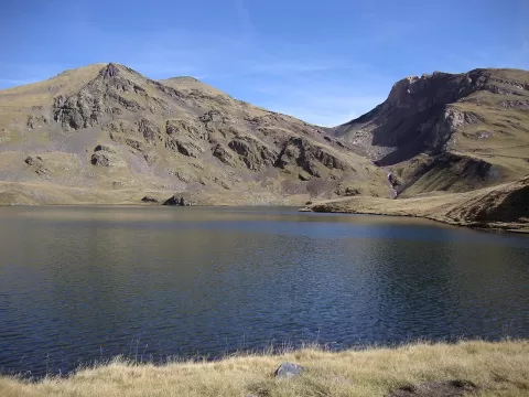
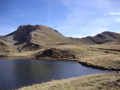
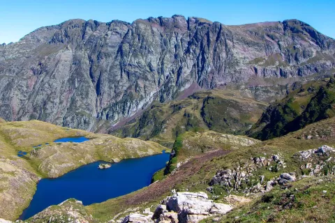
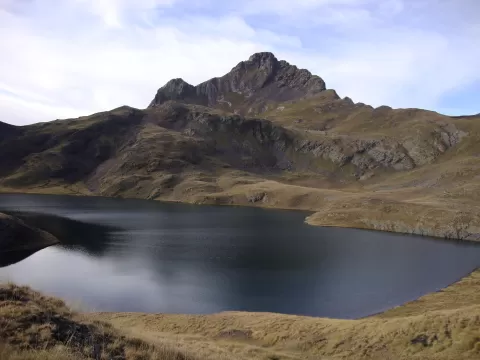
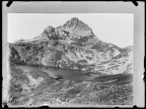
From the Aran side you set off from Bagergue along a track parallel to the River Unhòla as far as the Plan deth Horn, and from there on foot past the Montoliu lake, at 2,373 metres. The abandoned mines of the Pòrt d'Urets are nearby. It is a high-mountain ascent: in winter it calls for a helmet, crampons, an ice axe and snowshoes.
It is considered one of the peaks with the best views of the Val d'Aran. On the way up, the Montoliu lake provides a foreground of water with the ridges behind, and early light brings out the relief of the slopes.
What Tuc de Mauberme has to offer
More viewpoints in Lleida More hiking trails in Lleida
Best time to photograph Tuc de Mauberme today, 21 November
- Sunrise7:55 – 8:55golden hour
- Sunset16:28 – 17:28golden hour
- Blue hour17:28 – 17:59at dusk
At sunrise and sunset, low-angled light brings out the landscape's texture. Arrive 20 minutes early to get a good spot.
Hashtags for your photos of Tuc de Mauberme
Upload your photo with #fotoMap and help more people discover this spot. The one with the most votes becomes the cover photo.
Reviews of Tuc de Mauberme
Nobody has said what it's like yet. Have you been? Be the first to tell us.
Write a review