 See all 6 photos
Upload your photo
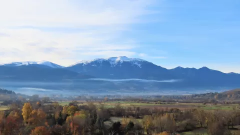
Tosa d'Alp
No reviews yet
Do you like this place? Be the first to vote
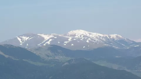
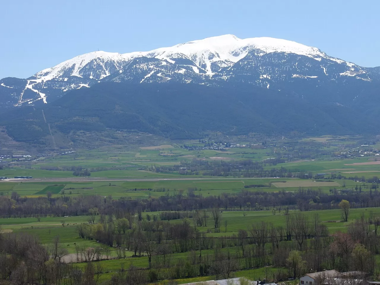
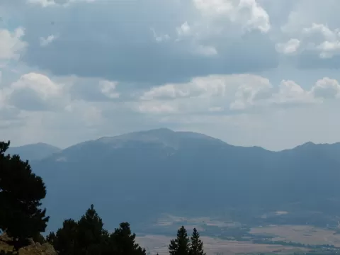
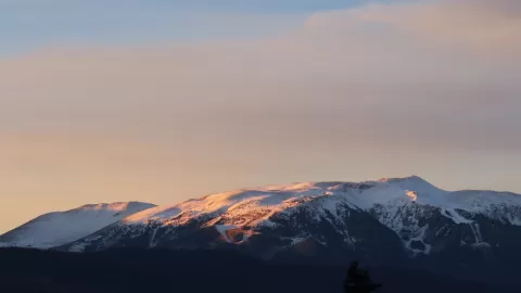
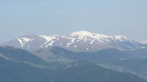
The Tosa d'Alp, or simply La Tosa, is 2,535 metres high and rises at the eastern end of the Serra del Moixeró, between the Baixa Cerdanya and the Berguedà. The municipalities of Alp, Urús, Das and Bagà meet on its summit, which is why it is also known as the Pedró dels Quatre Batlles.
The Masella ski runs are on its north face and those of La Molina on the east. On the summit there is a trig point and the Niu de l'Àliga refuge, with a café, restaurant and panoramic views. The Coll de Pal separates it from the Puigllançada.
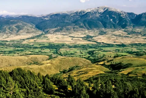
From the top you look over the Cerdanya plain and the surrounding Pyrenean peaks. With snow and the clear skies of cold winter days the panorama is sharper. Early and late in the day the raking light picks out the relief of the valleys.
What Tosa d'Alp has to offer
More viewpoints in Girona More hiking trails in Girona
Best time to photograph Tosa d'Alp today, 21 November
- Sunrise7:50 – 8:50golden hour
- Sunset16:26 – 17:26golden hour
- Blue hour17:26 – 17:56at dusk
At sunrise and sunset, low-angled light brings out the landscape's texture. Arrive 20 minutes early to get a good spot.
Hashtags for your photos of Tosa d'Alp
Upload your photo with #fotoMap and help more people discover this spot. The one with the most votes becomes the cover photo.
Reviews of Tosa d'Alp
Nobody has said what it's like yet. Have you been? Be the first to tell us.
Write a review