 See all 6 photos
Upload your photo
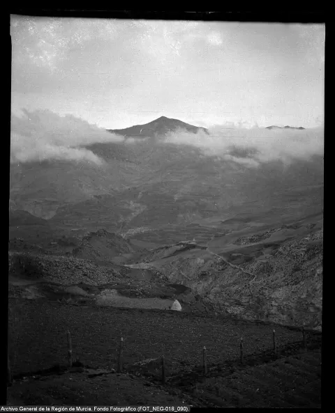
Tetica de Bacares
No reviews yet
Do you like this place? Be the first to vote
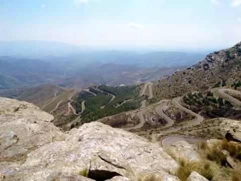
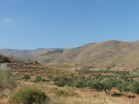
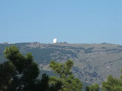
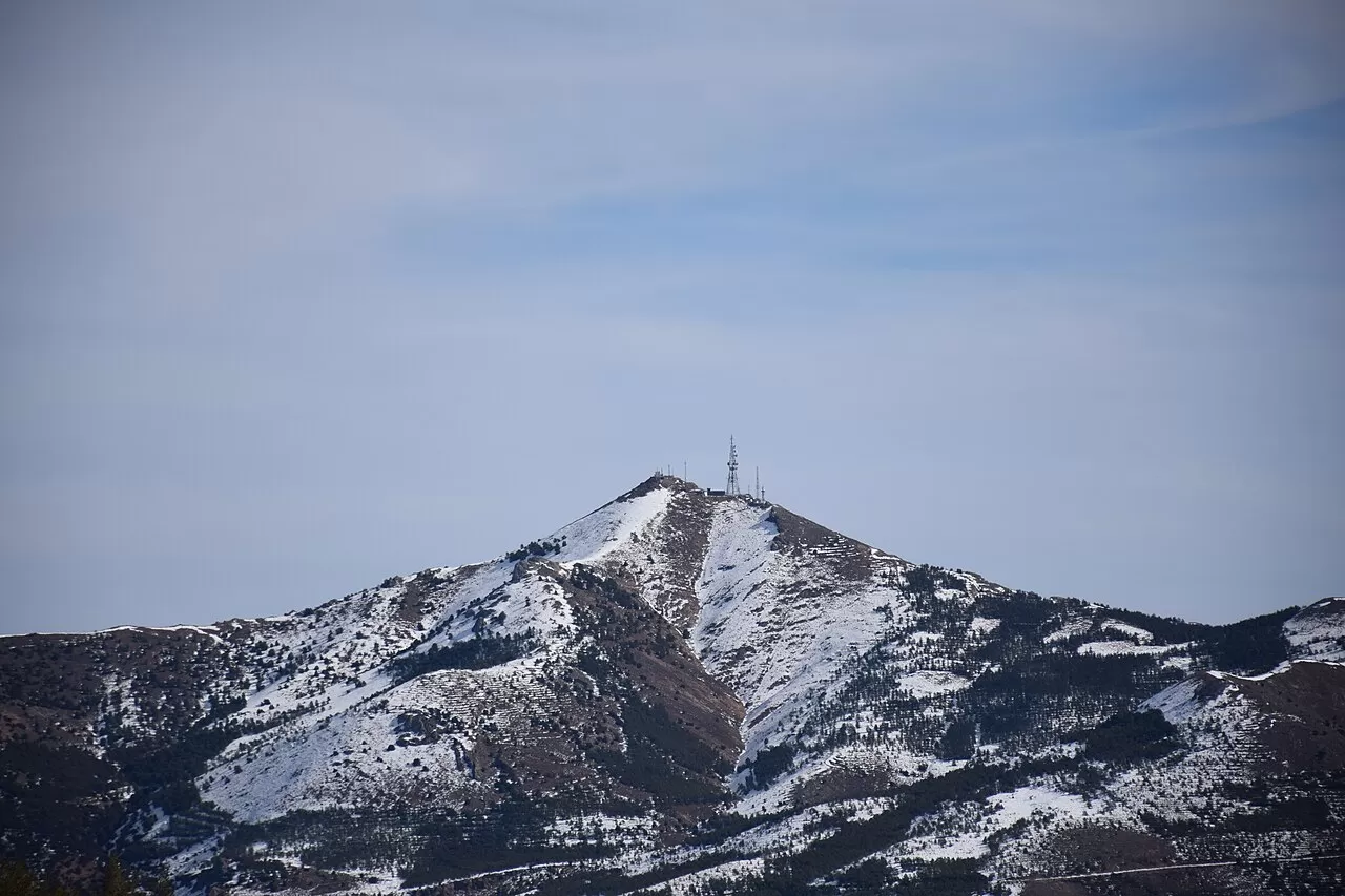
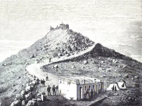
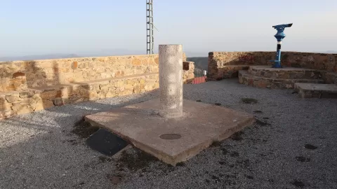
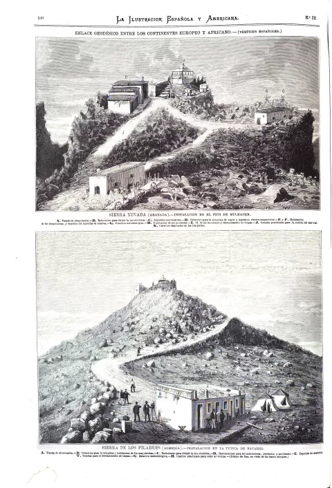
Tetica de Bacares is a 2,088-metre peak in the Sierra de los Filabres, in Almería, one of the easternmost mountains of the Penibaetic system to rise above 2,000 metres. Madoz also records it as Cerro de Nímar. On its summit is a first-order geodetic point. In 1878 the engineer and soldier Carlos Ibáñez de Ibero spent two months on the summit to link the Spanish geodetic network with that of Algeria.
From Bacares you walk up the steep, stony west face, with a first very steep section and an easier one up to the col. From the other side a mountain road arrives from Velefique, about 17.5 kilometres long and well known among cyclists.
The geodetic point on the summit is the reference for the photo. Its height means it dominates the range, and at sunrise or sunset the low light picks out the ridges of the Filabres.
What Tetica de Bacares has to offer
More viewpoints in Almería More hiking trails in Almería
Best time to photograph Tetica de Bacares today, 21 November
- Sunrise7:54 – 8:54golden hour
- Sunset16:56 – 17:56golden hour
- Blue hour17:56 – 18:24at dusk
At sunrise and sunset, low-angled light brings out the landscape's texture. Arrive 20 minutes early to get a good spot.
Hashtags for your photos of Tetica de Bacares
Upload your photo with #fotoMap and help more people discover this spot. The one with the most votes becomes the cover photo.
Reviews of Tetica de Bacares
Nobody has said what it's like yet. Have you been? Be the first to tell us.
Write a review