 See all 2 photos
Upload your photo
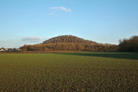
Terril
No reviews yet
Do you like this place? Be the first to vote
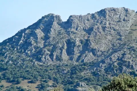
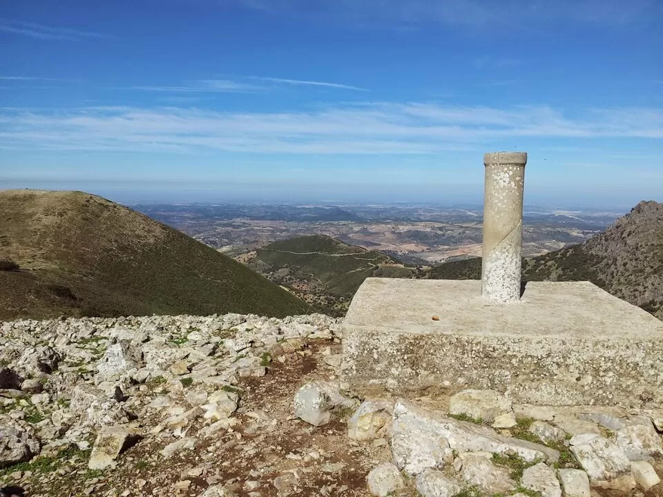
Terril peak, at 1,129 metres, is the highest point in the province of Seville. It lies on the boundary between Algámitas and Pruna, at the top of El Monigote hill, the highest in the Sierra del Tablón, within the Subbaetic range and the Sierra Sur of Seville.
From Pruna, the road towards Algámitas leads to the Sierra del Tablón. At kilometre 8 of the SE-9225 a path of about 8 km sets off for the summit, some 4 hours in all. At the top there is a 1973 trig point of the National Geographic Institute.
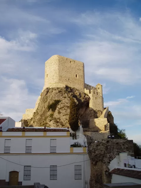
The trig point marks the summit and serves as foreground for the summit photo. Next to it rises the Peñón de Algámitas, the other great rock mass of the range, a good subject from the path, best in the low afternoon light.
What Terril has to offer
More viewpoints in Seville More hiking trails in Seville
Best time to photograph Terril today, 21 November
- Sunrise8:05 – 9:05golden hour
- Sunset17:07 – 18:07golden hour
- Blue hour18:07 – 18:35at dusk
At sunrise and sunset, low-angled light brings out the landscape's texture. Arrive 20 minutes early to get a good spot.
Hashtags for your photos of Terril
Upload your photo with #fotoMap and help more people discover this spot. The one with the most votes becomes the cover photo.
Reviews of Terril
Nobody has said what it's like yet. Have you been? Be the first to tell us.
Write a review