 See all 6 photos
Upload your photo
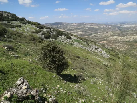
Sierras Subbéticas Natural Park
No reviews yet
Do you like this place? Be the first to vote
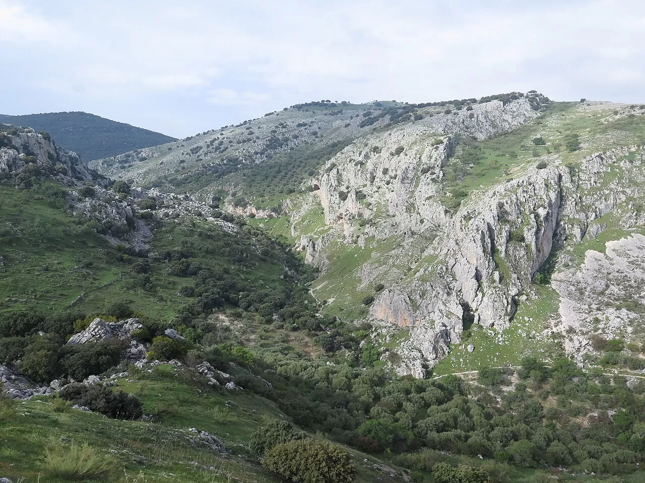
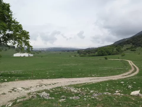
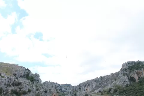
The Sierras Subbéticas Natural Park covers 31,568 hectares in the south of the province of Córdoba, between Cabra, Carcabuey, Doña Mencía, Iznájar, Luque, Priego de Córdoba, Rute and Zuheros. It was already a site of natural interest in 1927, became a natural park in 1988 and, since 2006, a UNESCO Geopark. Its symbol is the peregrine falcon.
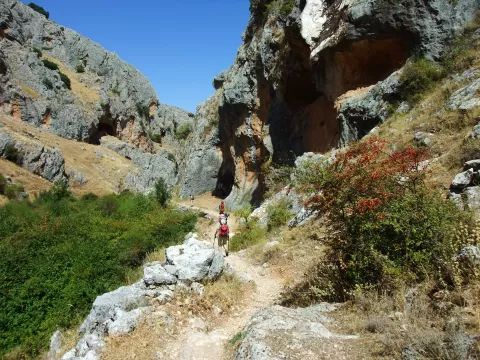
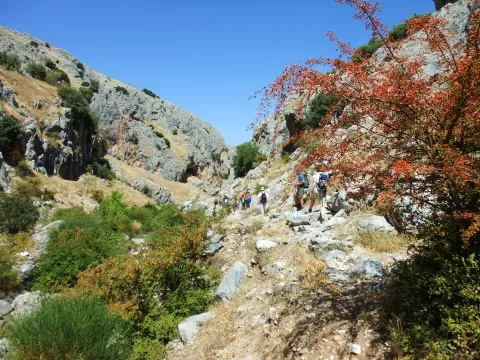
It has the Santa Rita visitor centre, the eco-museum of the Cueva de los Murciélagos, several viewpoints and nine trails. The Vía Verde de la Subbética follows some 57 km of former railway line through Cabra, Doña Mencía and Zuheros, and a path links Carcabuey with Zuheros through the gorge of the River Bailón.
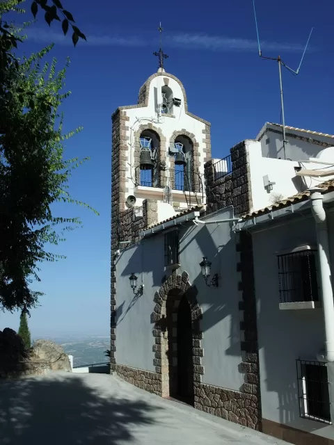
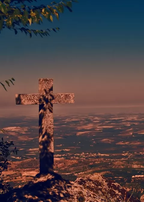
El Picacho in the Sierra de Cabra, 1,217 metres high, is a tectonic island with the hermitage of the Virgen de la Sierra on its summit and a geological viewpoint: it gives the photo of the park as a whole. The Bailón gorge provides the other.
What Sierras Subbéticas Natural Park has to offer
Best time to photograph Sierras Subbéticas Natural Park today, 21 November
- Sunrise8:03 – 9:03golden hour
- Sunset17:03 – 18:03golden hour
- Blue hour18:03 – 18:31at dusk
Golden hour gives the most beautiful light: warm, soft and with long shadows.
Hashtags for your photos of Sierras Subbéticas Natural Park
Upload your photo with #fotoMap and help more people discover this spot. The one with the most votes becomes the cover photo.
Reviews of Sierras Subbéticas Natural Park
Nobody has said what it's like yet. Have you been? Be the first to tell us.
Write a review