 See all 6 photos
Upload your photo

Sierra Perenchiza
No reviews yet
Do you like this place? Be the first to vote
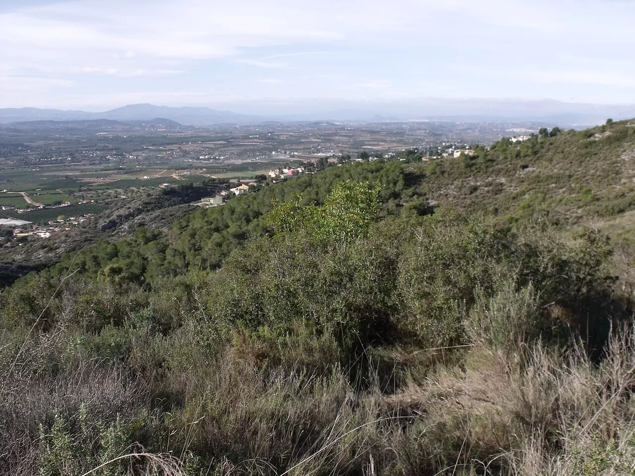
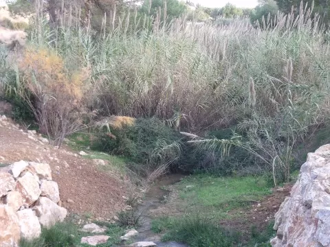
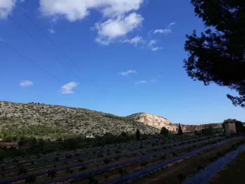
The Sierra Perenchiza stretches for about 7 kilometres between Torrent, Chiva and Godelleta, in the province of Valencia. Its summits exceed 200 metres and the trig point, on the Llano de Toxar, is at 326. The south-east corner has been a municipal natural area of Torrent since 2006, covering 174 hectares.
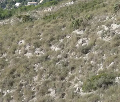
The PR-V 162 trail runs through it, also passing the La Horteta and Gallego ravines. Garrigue scrub dominates, with Aleppo pine, a few holm oaks, carob and olive trees, and among the shrubs kermes oak, mastic and dwarf fan palm. A quarry took up 32 hectares until 2010.
From the top you can see the Valencian coastal plain, with the Albufera as a landmark and the Plana de Quart, and to the south you can make out Cullera. Clear days are best for the panorama.
What Sierra Perenchiza has to offer
Best time to photograph Sierra Perenchiza today, 21 November
- Sunrise7:52 – 8:52golden hour
- Sunset16:43 – 17:43golden hour
- Blue hour17:43 – 18:12at dusk
At sunrise and sunset, low-angled light brings out the landscape's texture. Arrive 20 minutes early to get a good spot.
Hashtags for your photos of Sierra Perenchiza
Upload your photo with #fotoMap and help more people discover this spot. The one with the most votes becomes the cover photo.
Reviews of Sierra Perenchiza
Nobody has said what it's like yet. Have you been? Be the first to tell us.
Write a review