 See all 6 photos
Upload your photo
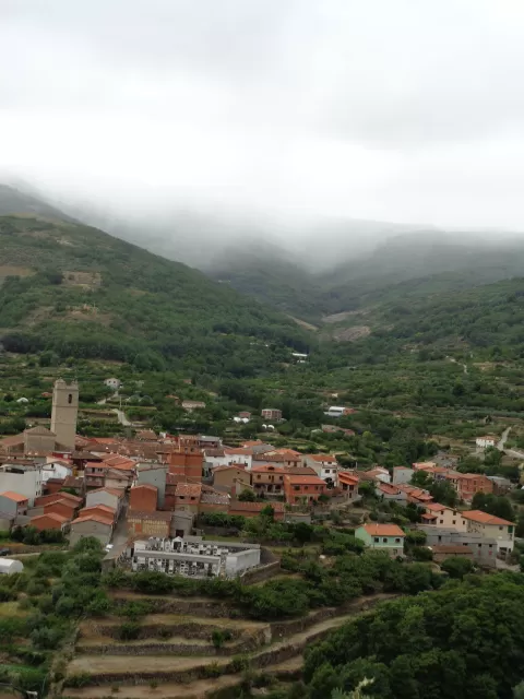
Sierra de Tormantos
No reviews yet
Do you like this place? Be the first to vote
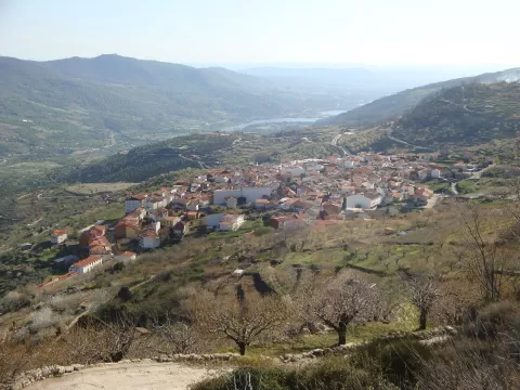
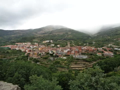
The Sierra de Tormantos extends the Sierra de Gredos westwards, in the Sistema Central, and separates La Vera, to the south, from the Jerte Valley, to the north. Its highest point is Cerro del Estecillo, at 2,290 metres, followed by the Cuerda de los Infiernillos, at 2,281. The Garganta de la Serrá occupies a former Quaternary glacial valley.
On the north side is the Garganta de los Infiernos Nature Reserve, with waterfalls, streams and pools. To the south, Arroyomolinos de la Vera has the La Desesperá gorge, and Barrado sits on its slopes. Charles V crossed it by the Garganta de los Infiernos and the Collado de las Yeguas on his way to Yuste.
The vegetation changes with altitude: deciduous and riverside woodland below, broom scrub and high-mountain pasture above. The gorges with water are the most rewarding subject; an overcast sky avoids harsh contrasts in the pools.
What Sierra de Tormantos has to offer
More viewpoints in Cáceres More hiking trails in Cáceres
Best time to photograph Sierra de Tormantos today, 21 November
- Sunrise8:15 – 9:15golden hour
- Sunset17:02 – 18:02golden hour
- Blue hour18:02 – 18:32at dusk
At sunrise and sunset, low-angled light brings out the landscape's texture. Arrive 20 minutes early to get a good spot.
Hashtags for your photos of Sierra de Tormantos
Upload your photo with #fotoMap and help more people discover this spot. The one with the most votes becomes the cover photo.
Reviews of Sierra de Tormantos
Nobody has said what it's like yet. Have you been? Be the first to tell us.
Write a review