 See all 6 photos
Upload your photo
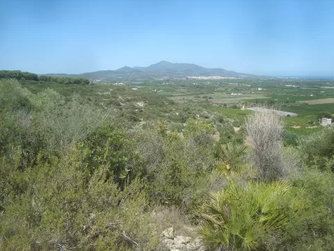
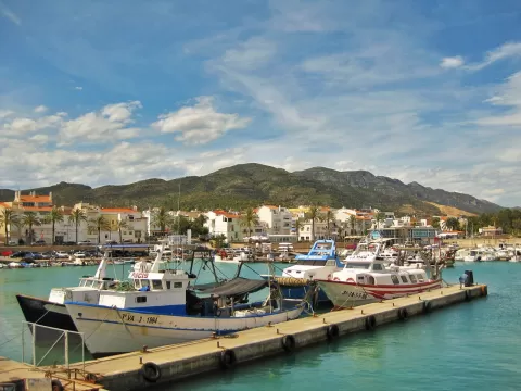
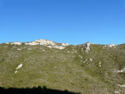
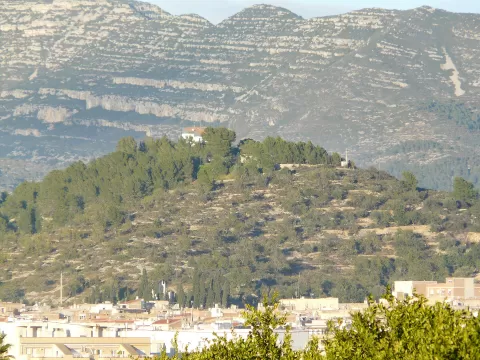
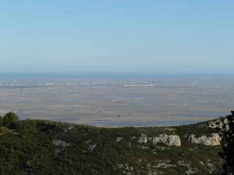
Sierra de Montsiá
No reviews yet
Do you like this place? Be the first to vote
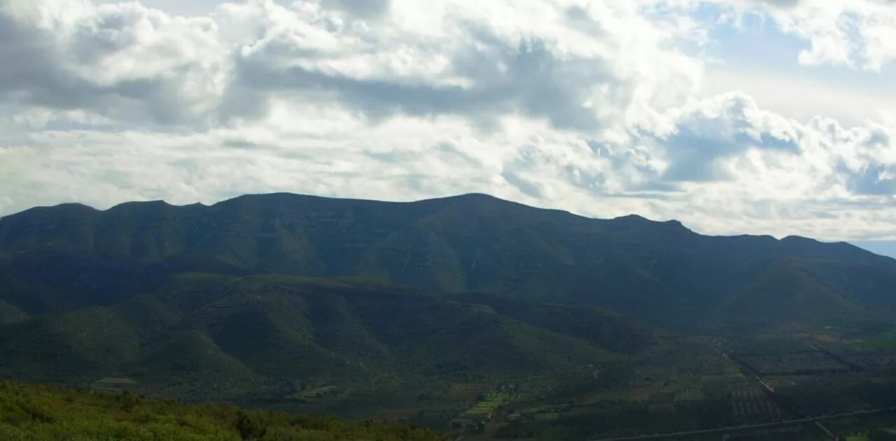
The Montsià is a coastal mountain range in the south of Tarragona, about 12 kilometres long and 5 wide, between the Ebro and Sénia rivers. It is a limestone block uplifted by faults some 25 million years ago, with cliffs, ravines and many caves. Its highest point is the Torreta del Montsià, at 764 metres. It is shared between Alcanar, Ulldecona, Freginals, Amposta and La Ràpita.
It has been protected under Catalonia's Plan for Areas of Natural Interest since 2000. Hiking, mountain biking, climbing and hunting are the permitted activities. A quarry has degraded part of its south-eastern slope.
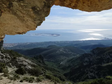
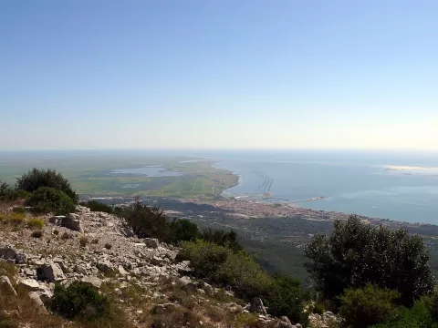
From La Foradada there are views over the Ebro Delta. At dawn the sun rises out of the sea and tinges the rock orange. From the delta, the profile of the Montsià forms the backdrop to the rice fields.
What Sierra de Montsiá has to offer
More viewpoints in Tarragona More hiking trails in Tarragona
Best time to photograph Sierra de Montsiá today, 21 November
- Sunrise7:51 – 8:51golden hour
- Sunset16:36 – 17:36golden hour
- Blue hour17:36 – 18:05at dusk
At sunrise and sunset, low-angled light brings out the landscape's texture. Arrive 20 minutes early to get a good spot.
Hashtags for your photos of Sierra de Montsiá
Upload your photo with #fotoMap and help more people discover this spot. The one with the most votes becomes the cover photo.
Reviews of Sierra de Montsiá
Nobody has said what it's like yet. Have you been? Be the first to tell us.
Write a review